
Welcome to IPF’s biogeography photo project!
The purpose of this project is to create a visual baseline of different ecologies, landscape types, forest & plant covers, and IPF projects on the Pass in order to assess change over time.
We will do this by taking photographs from the same 14 locations at, as closely as possible, the same time of year and under the same conditions (July 9, on blue-sky days, in midday light). Documenting and understanding changes to our forests, flora, and the success or failure of various IPF projects will enable us to become better stewards of the Pass.
Photos start on the west side of the Pass at the winter closure gate, and proceed up and over the Pass to the east side of the summit. We look forward to watching this project grow over the years, and welcome your feedback or suggestions for additional images!
Tagert Cut
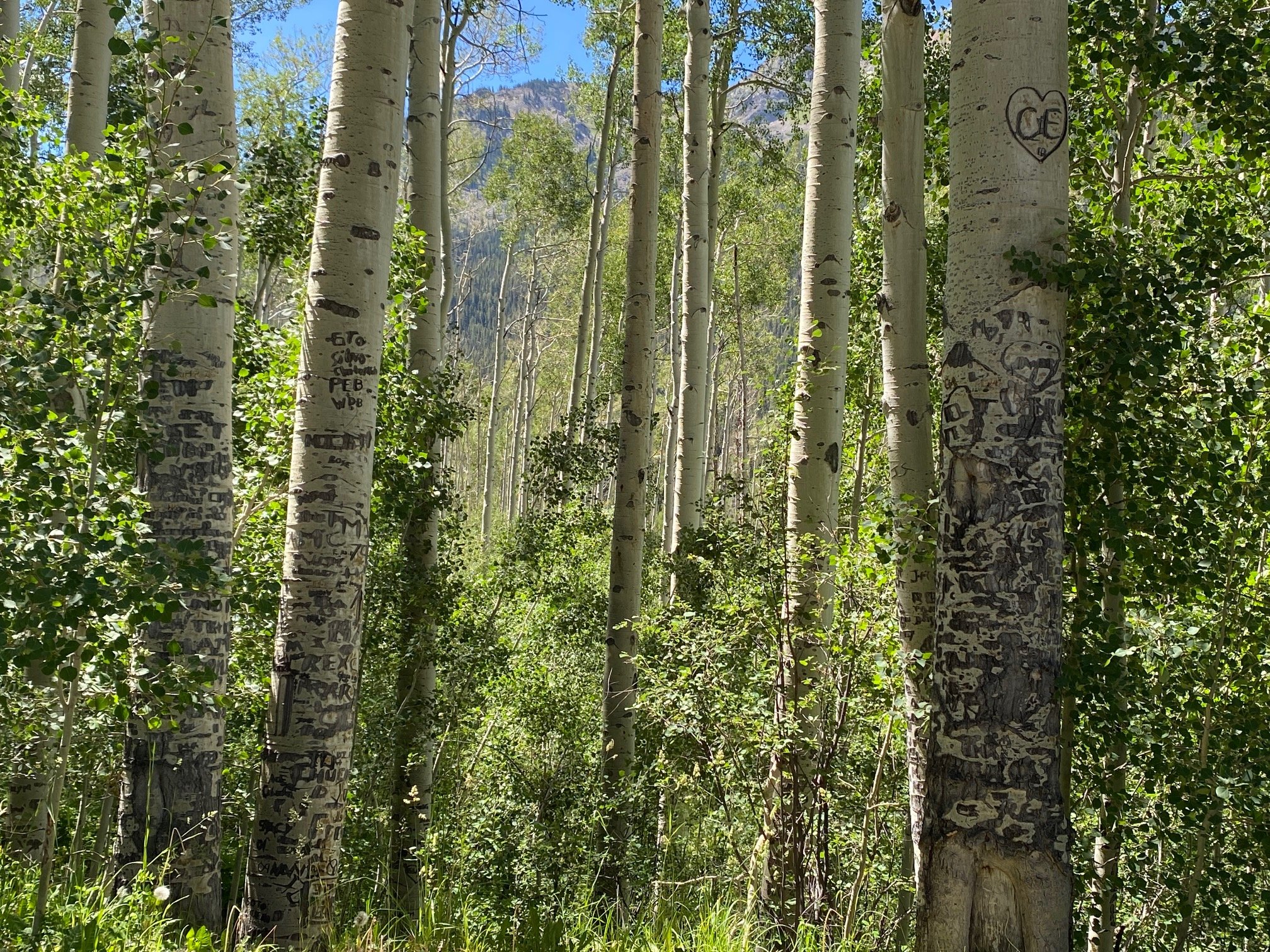
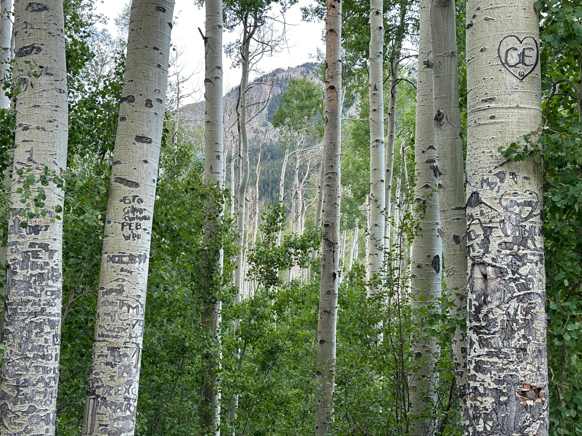
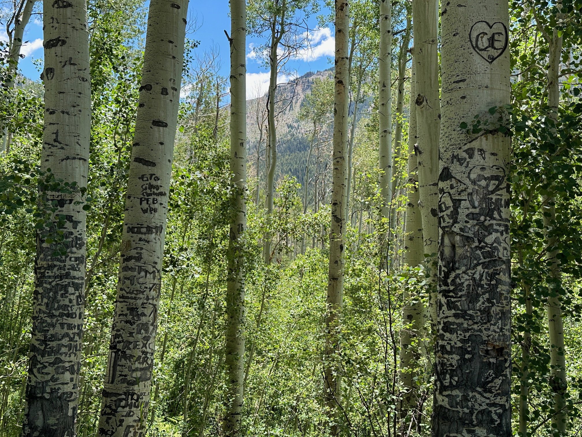
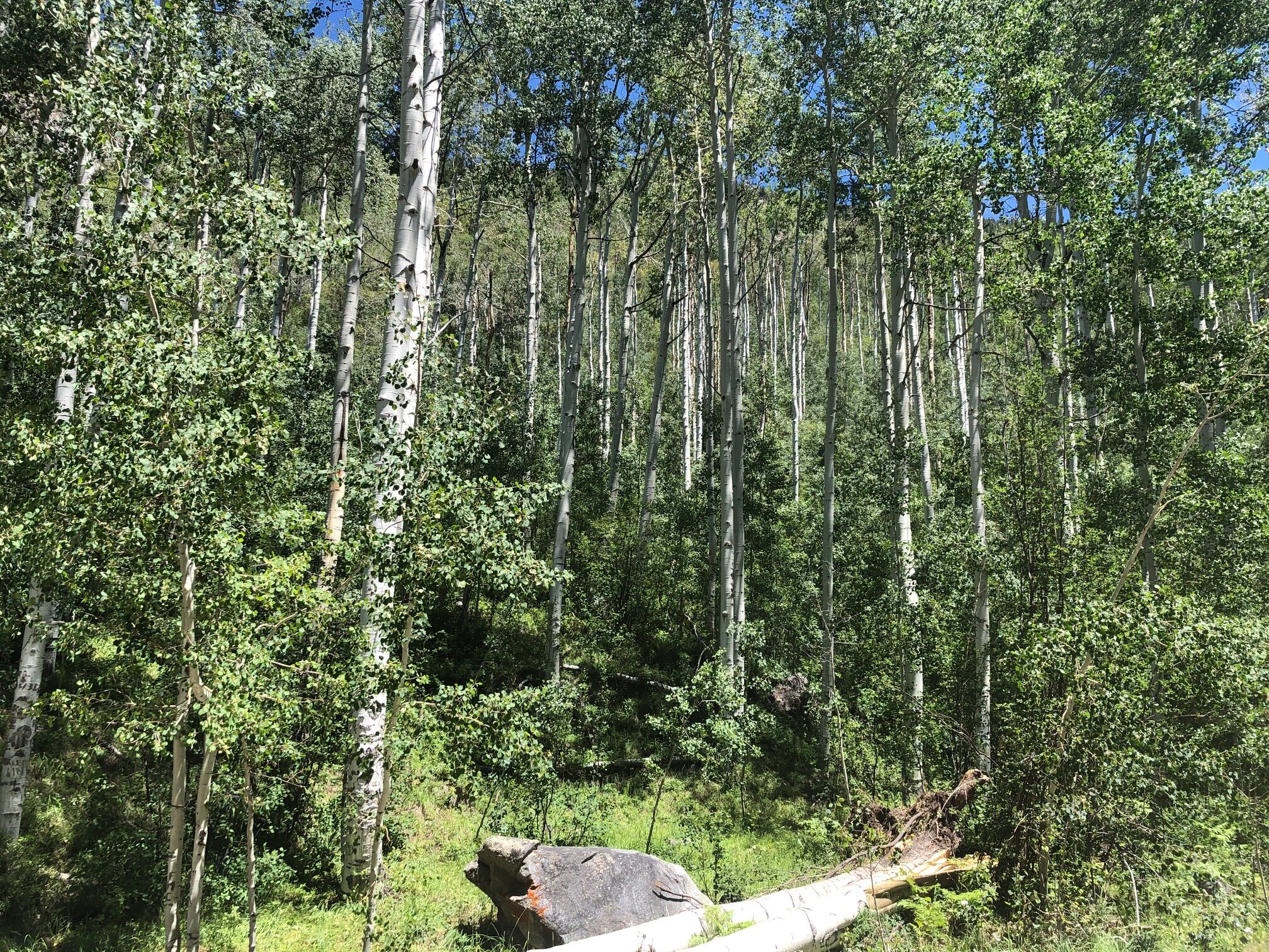
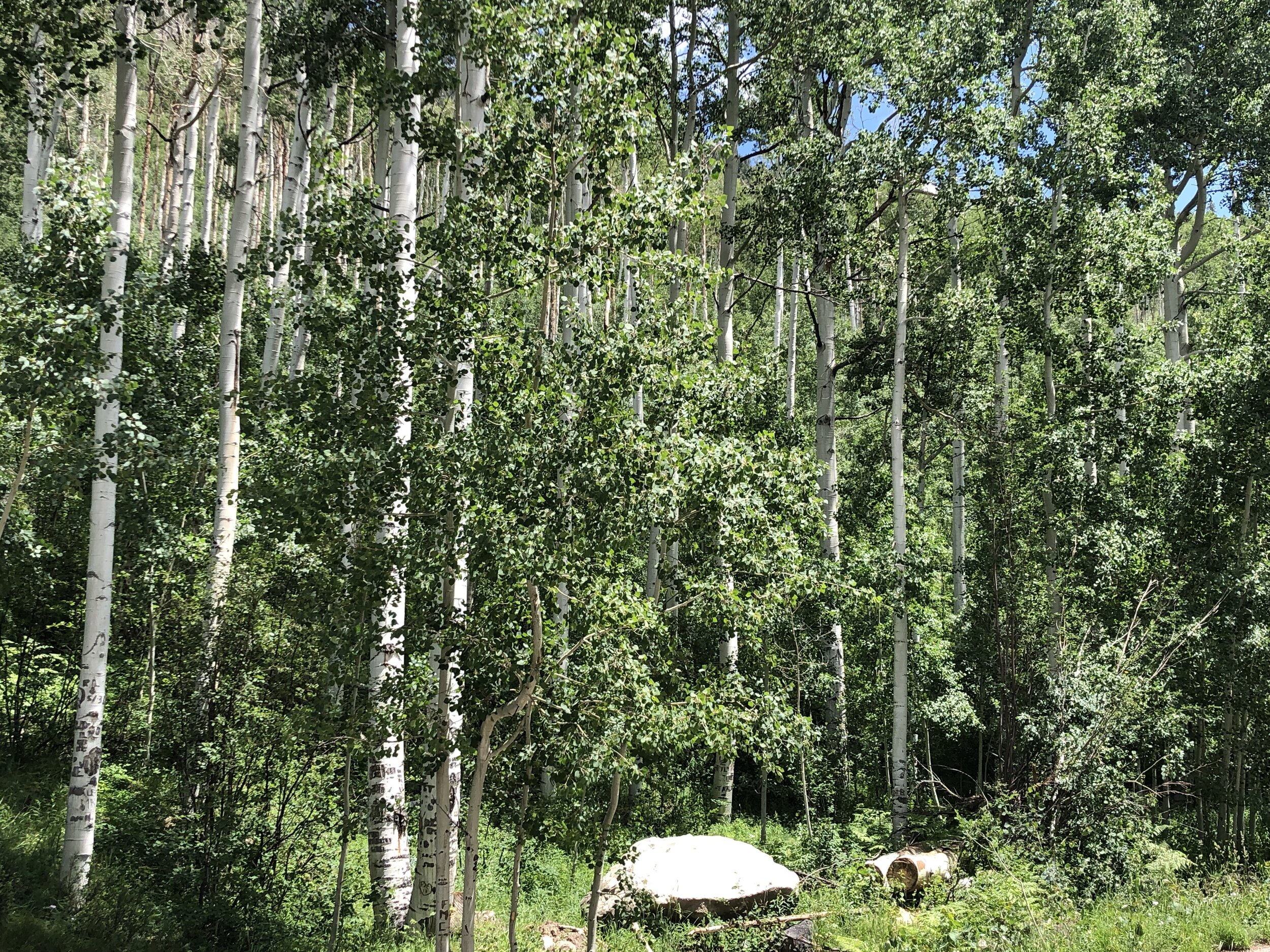
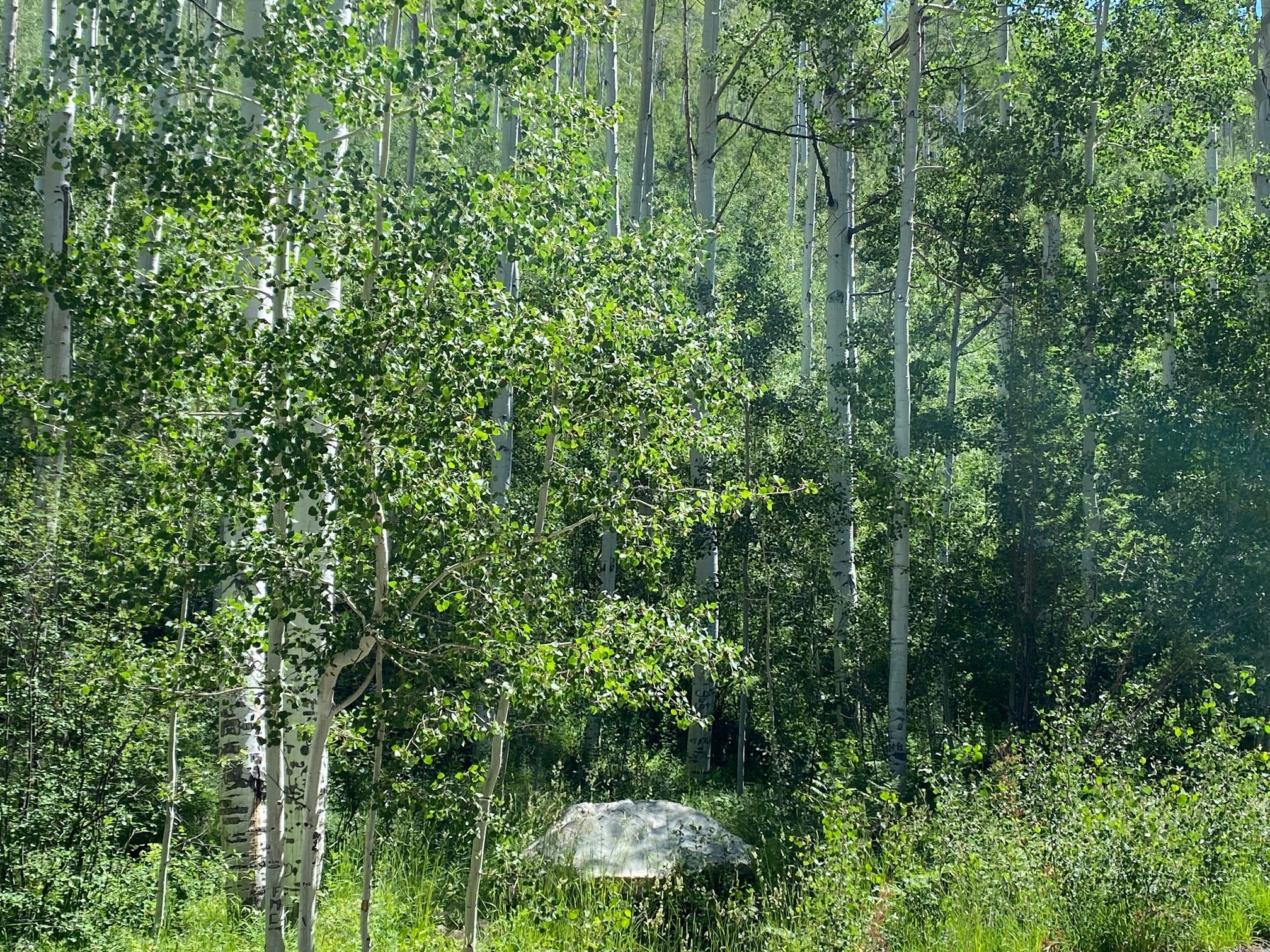
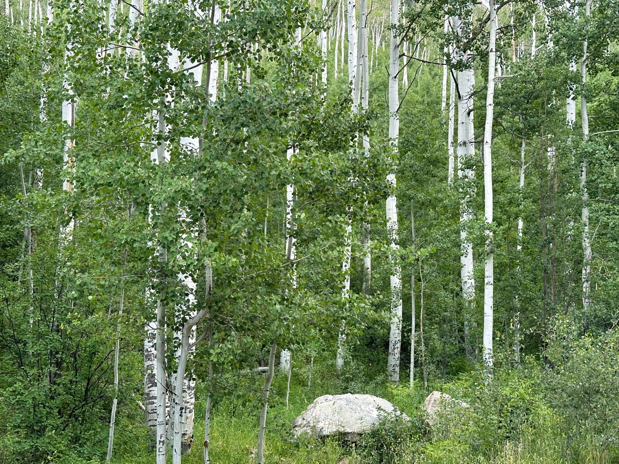
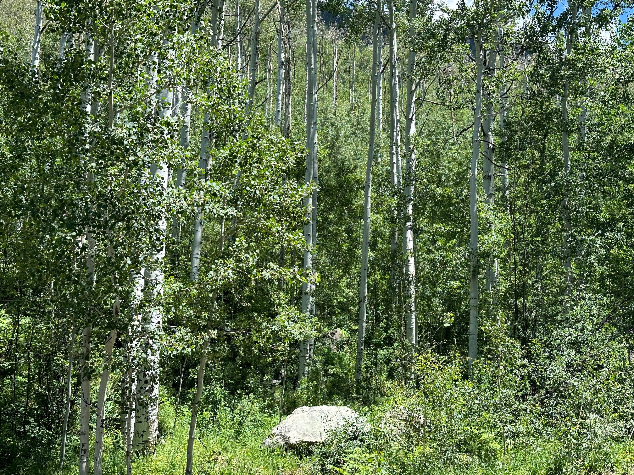
Aspen groves
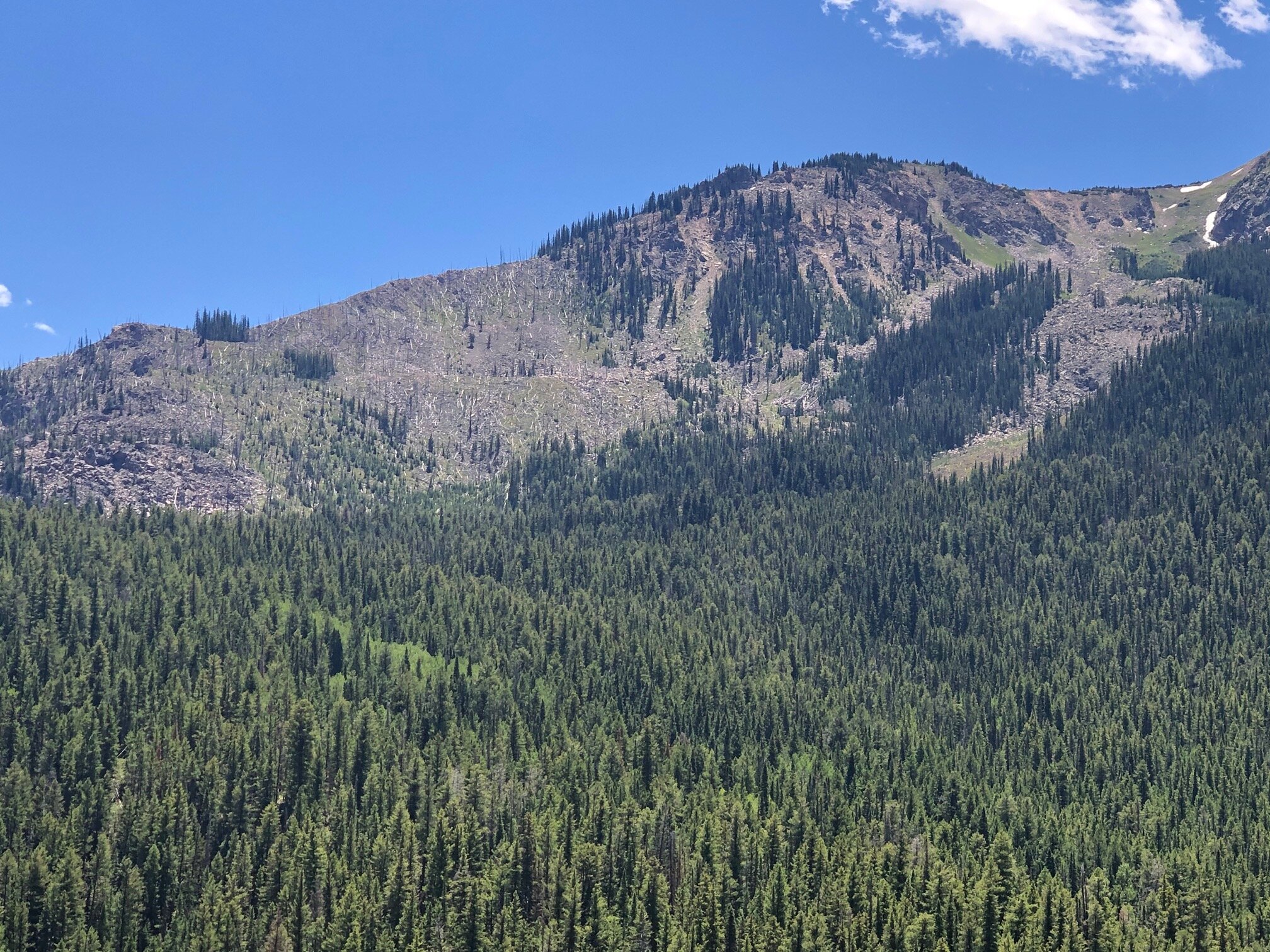
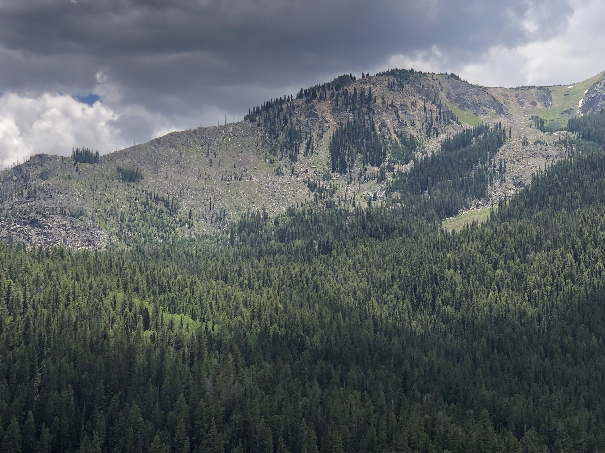
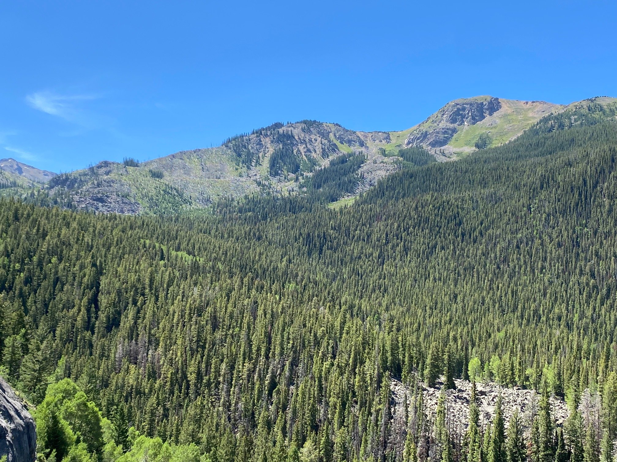
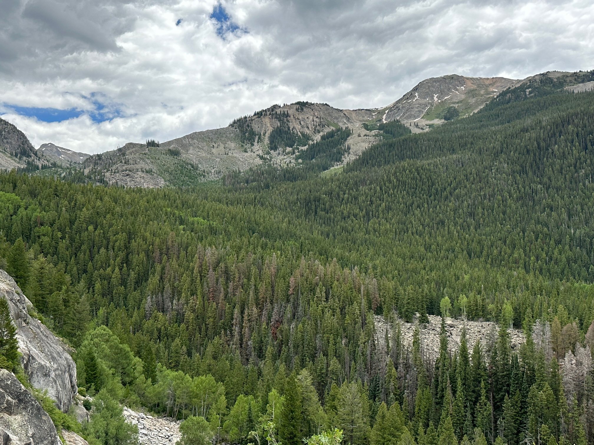
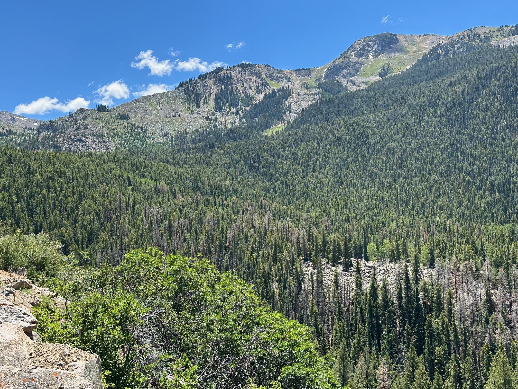
Difficult & Richmond Ridges & Shimer burn
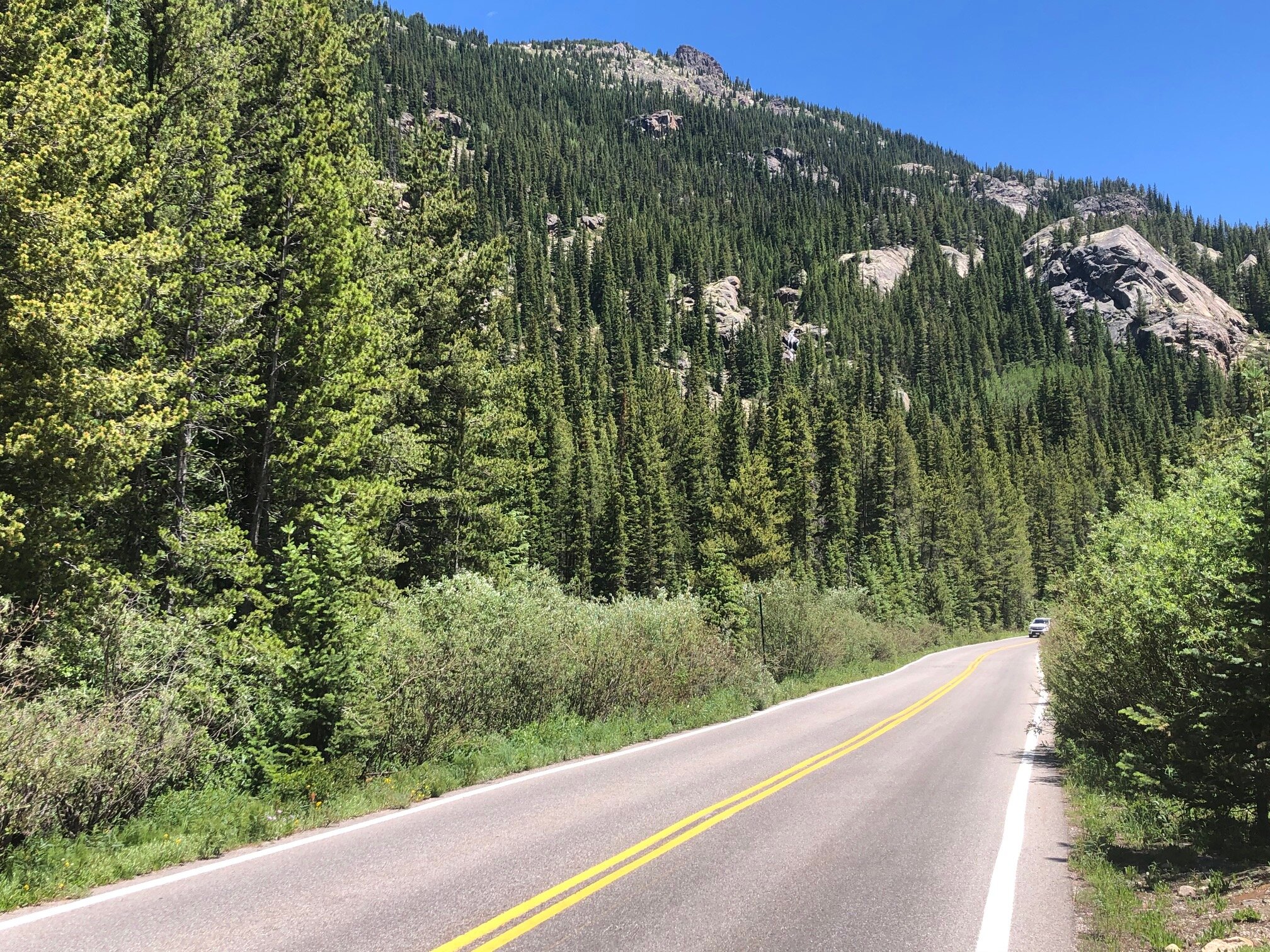
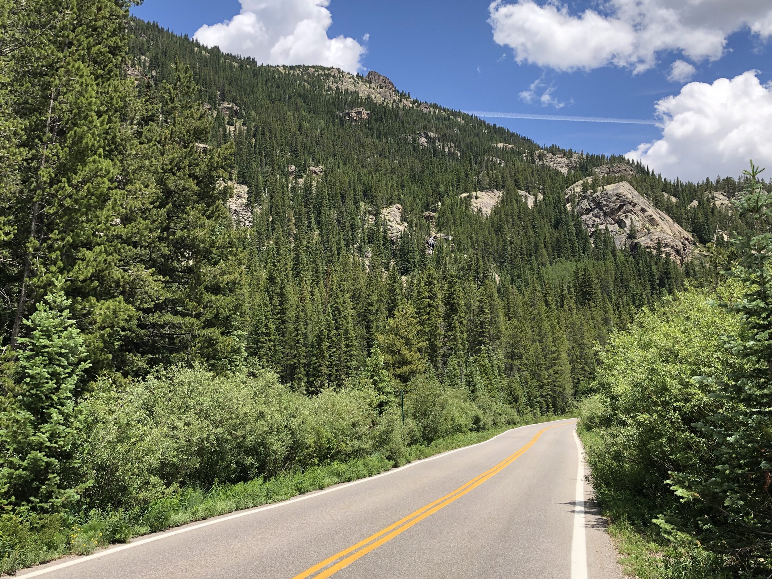
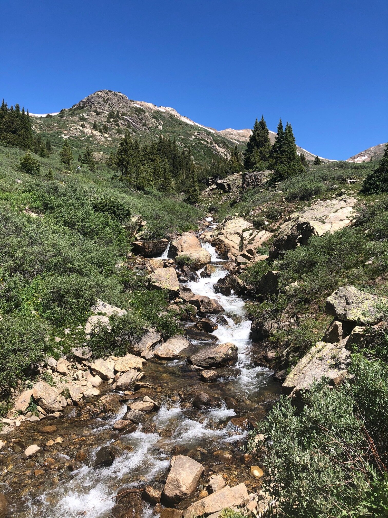
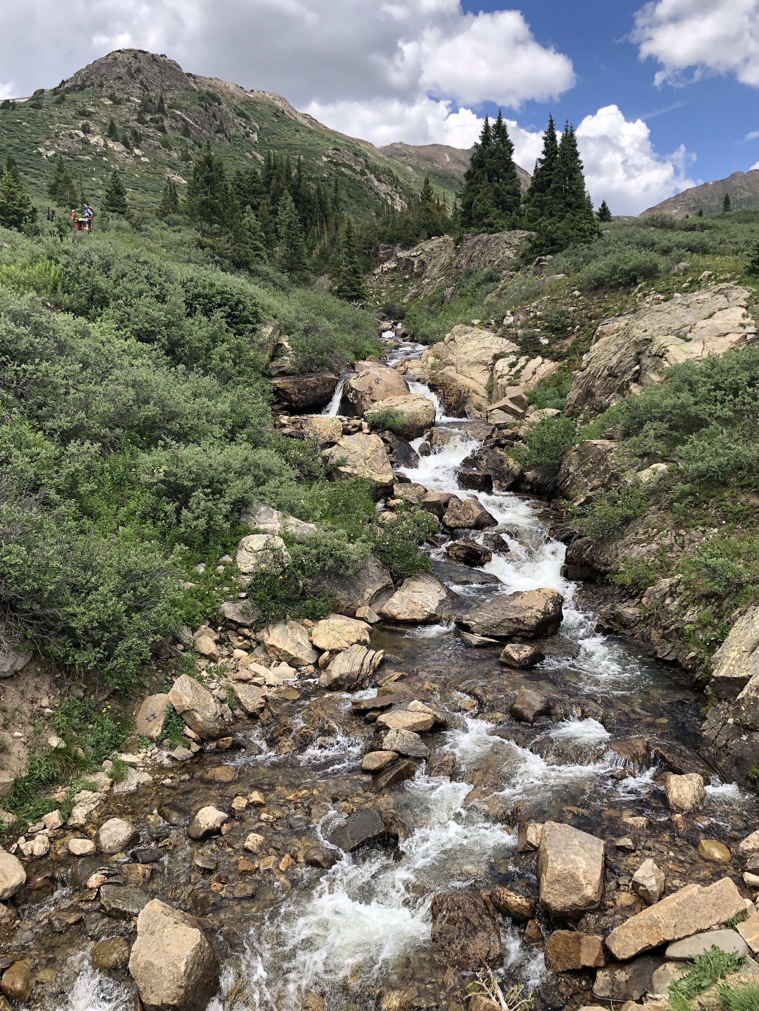
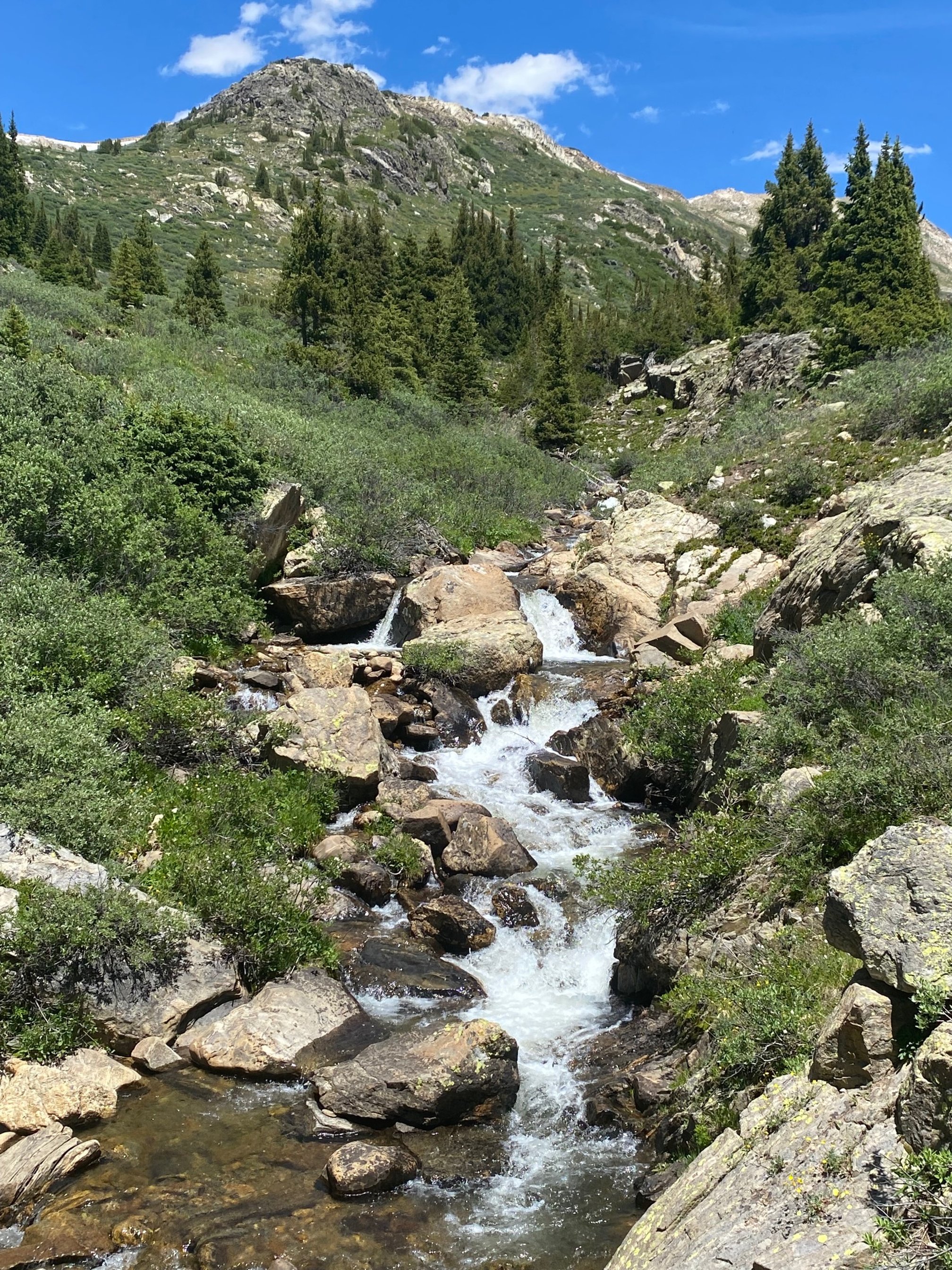
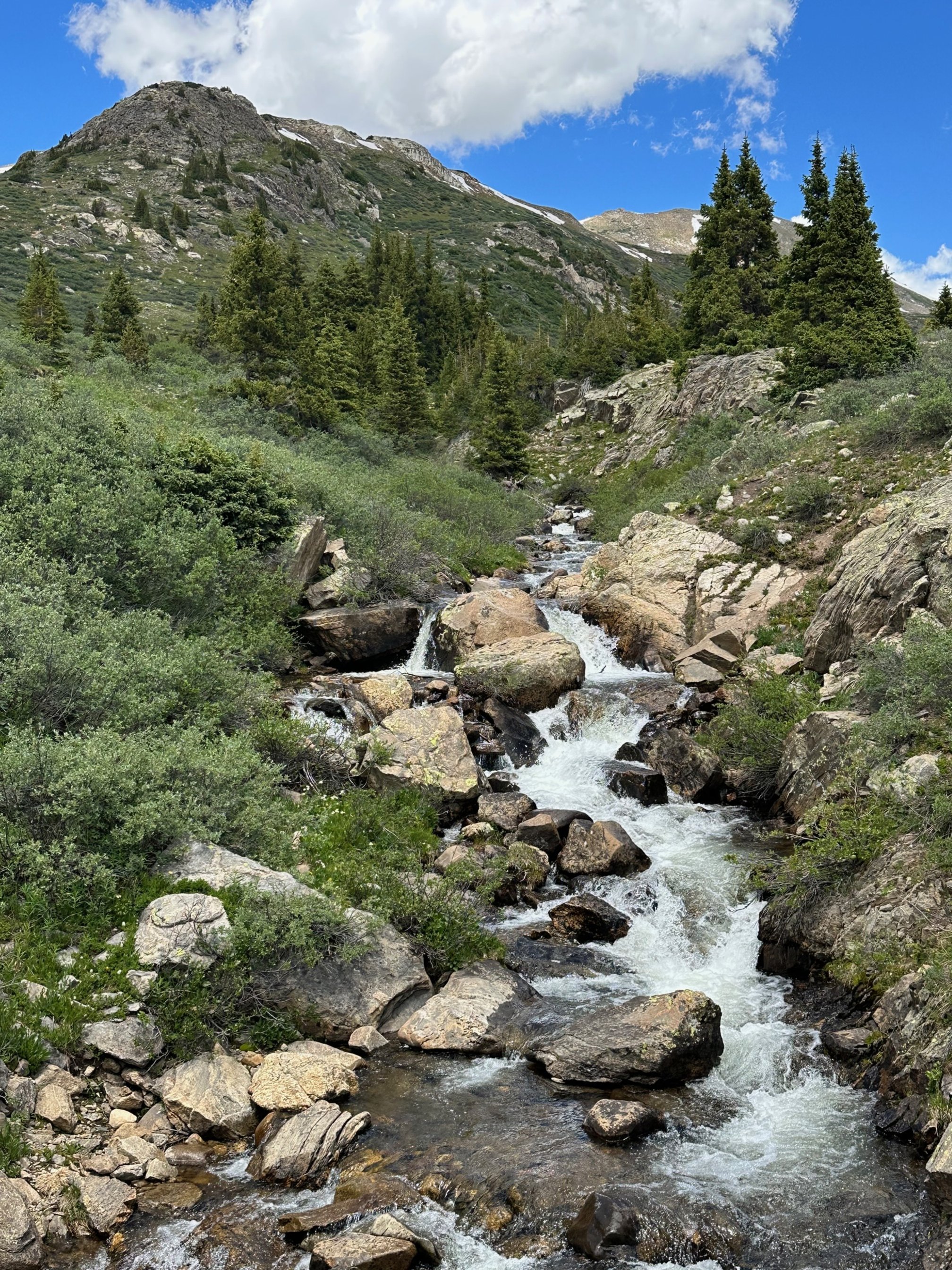
Roadside vegetation & waterfall
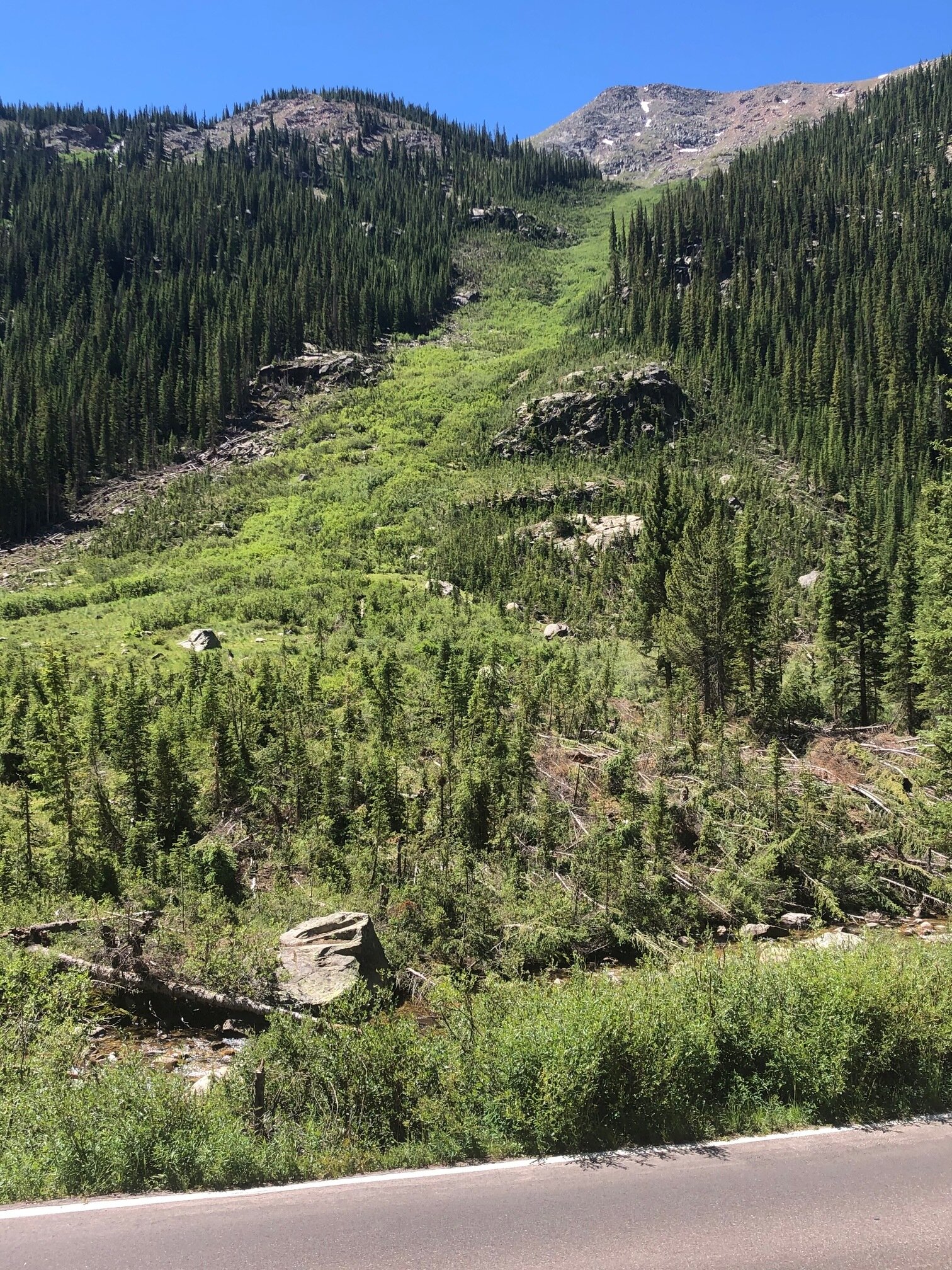
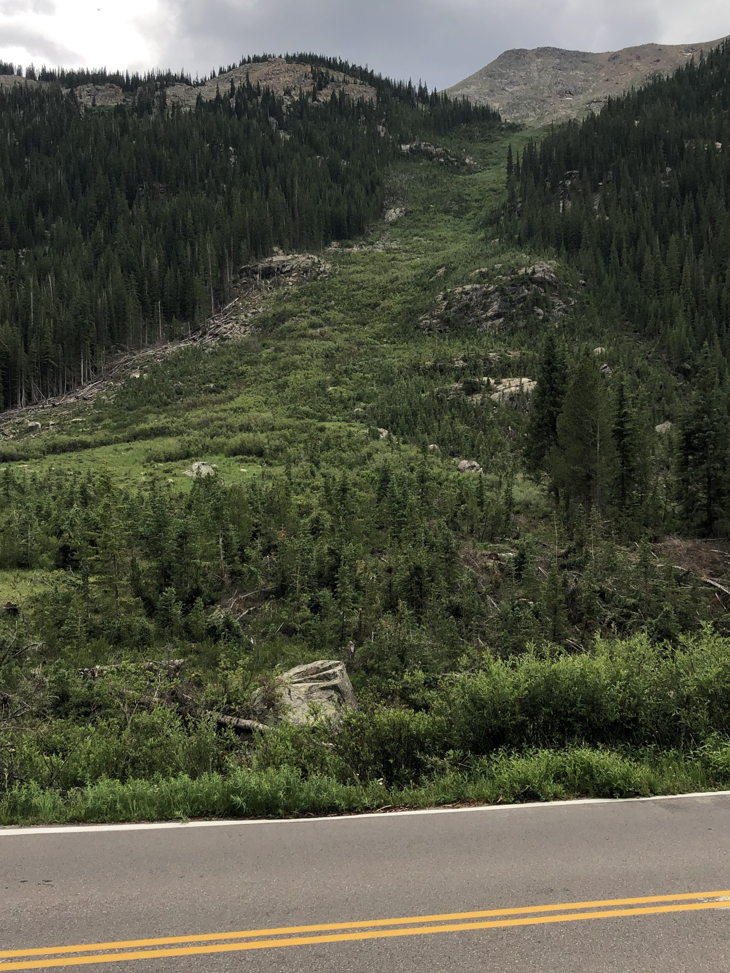
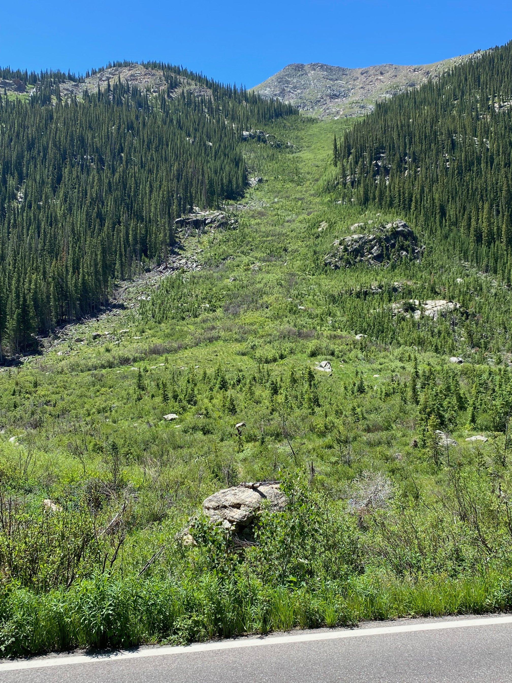
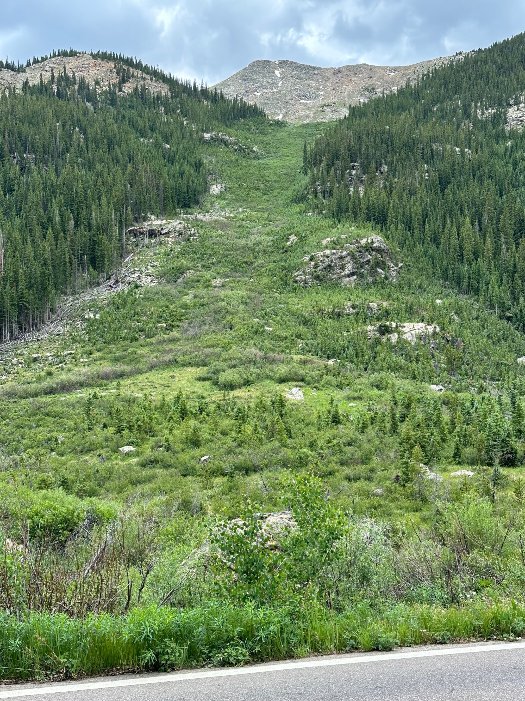
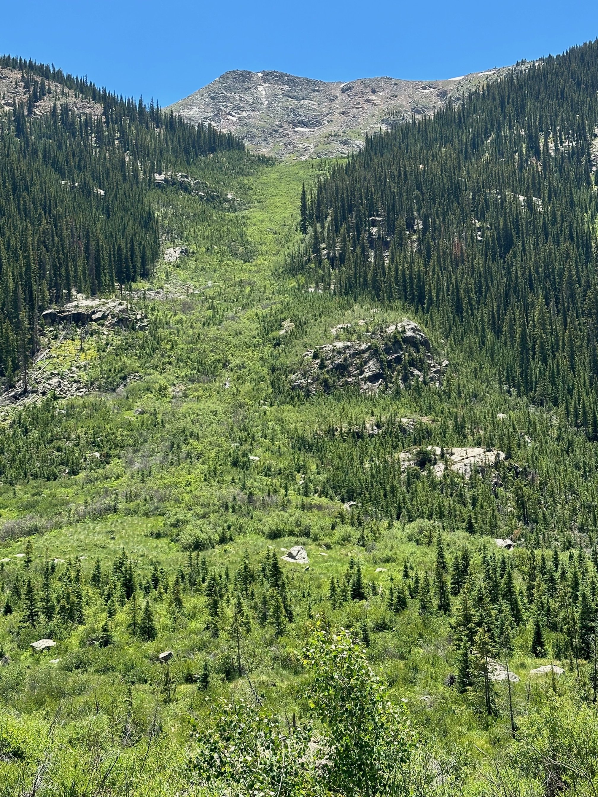
Green Mountain avalanche
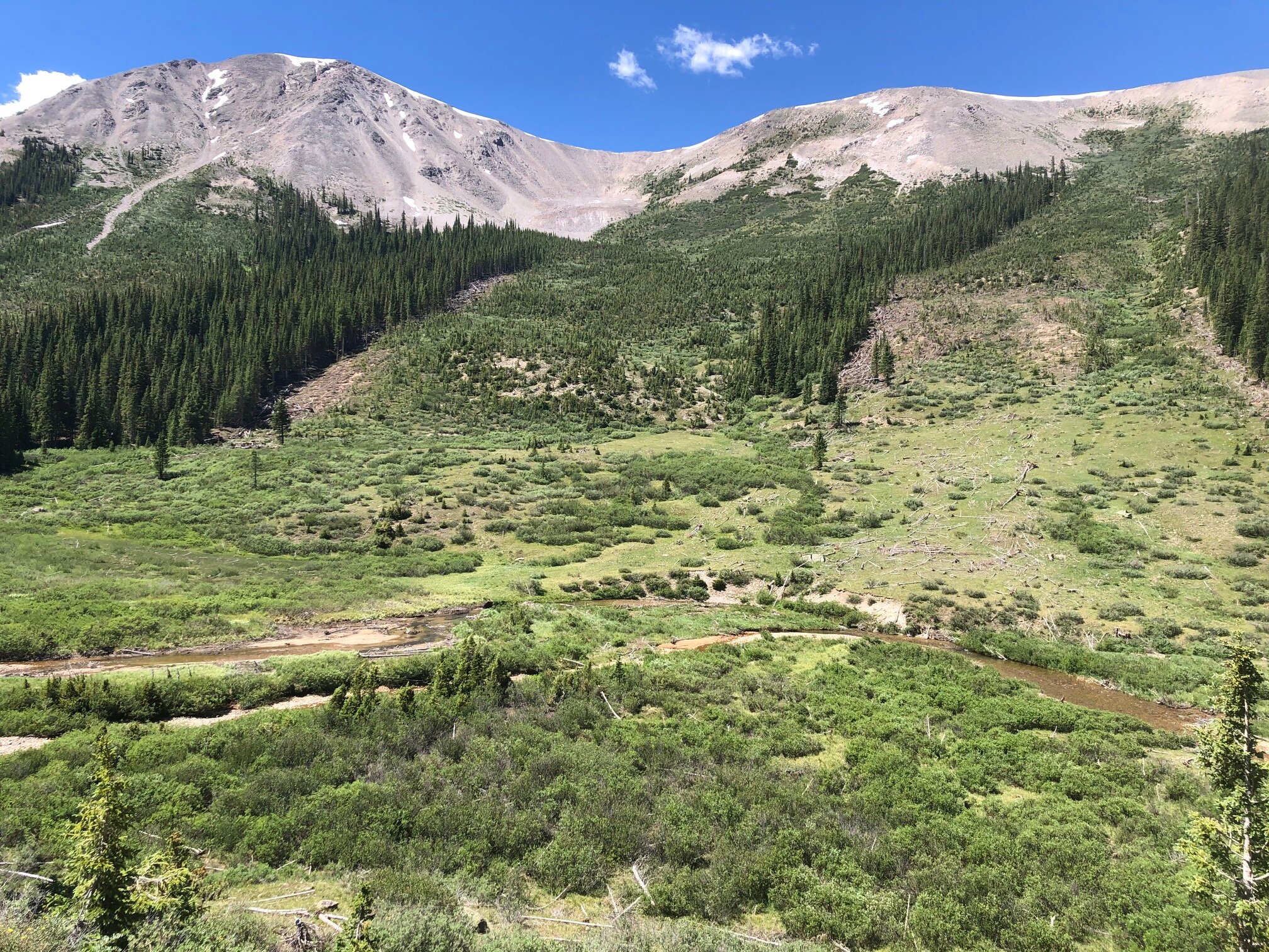
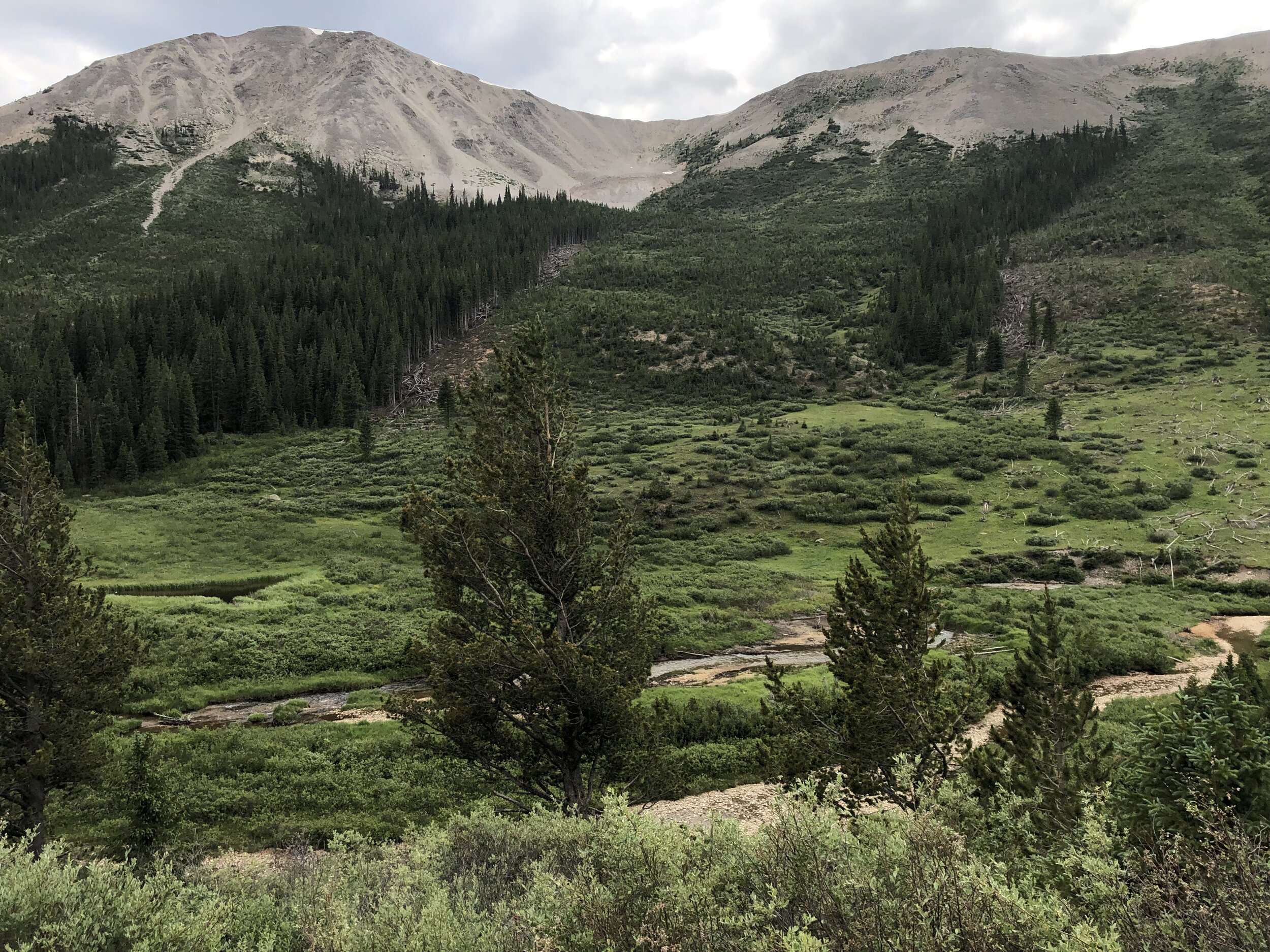
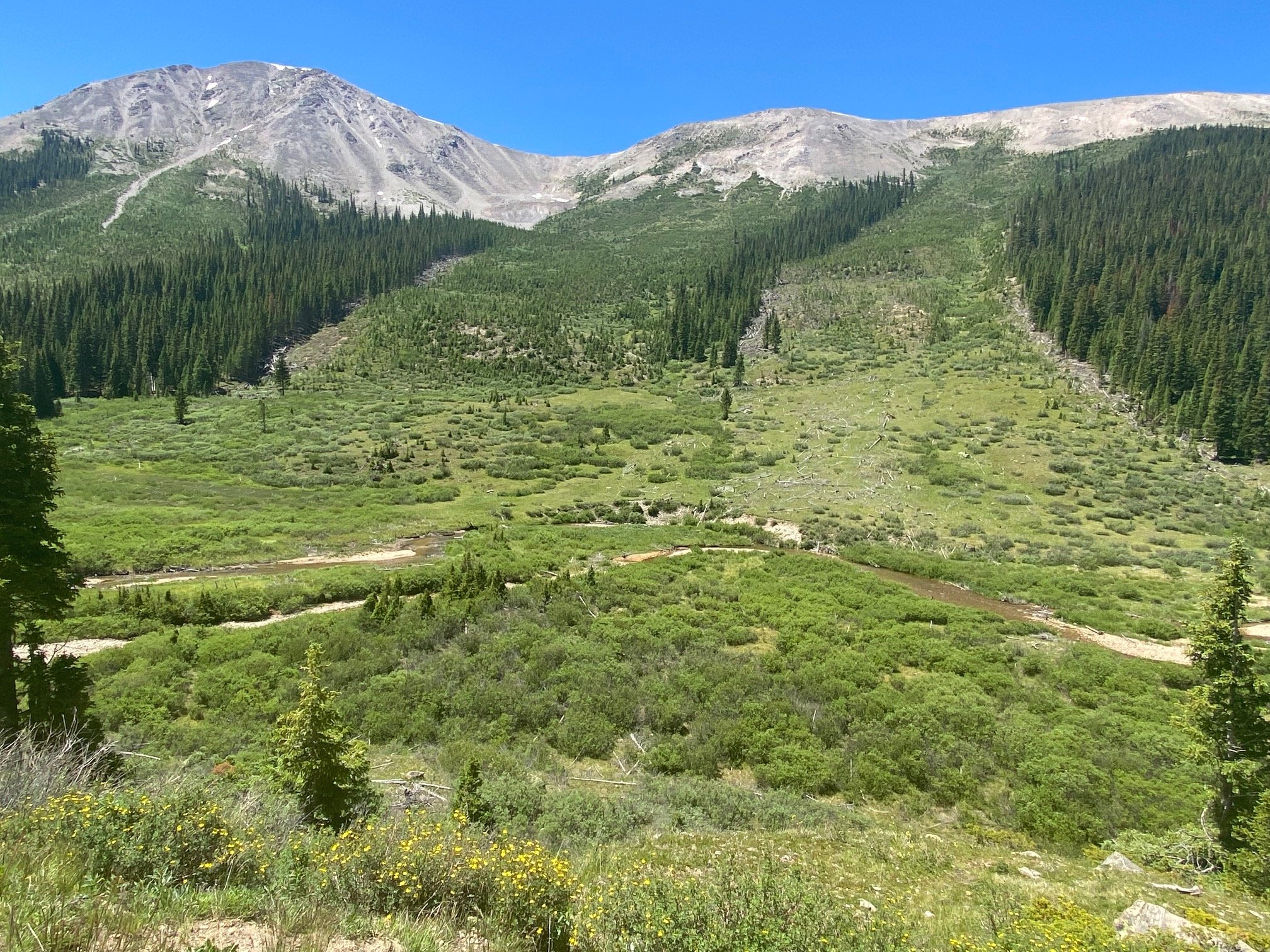
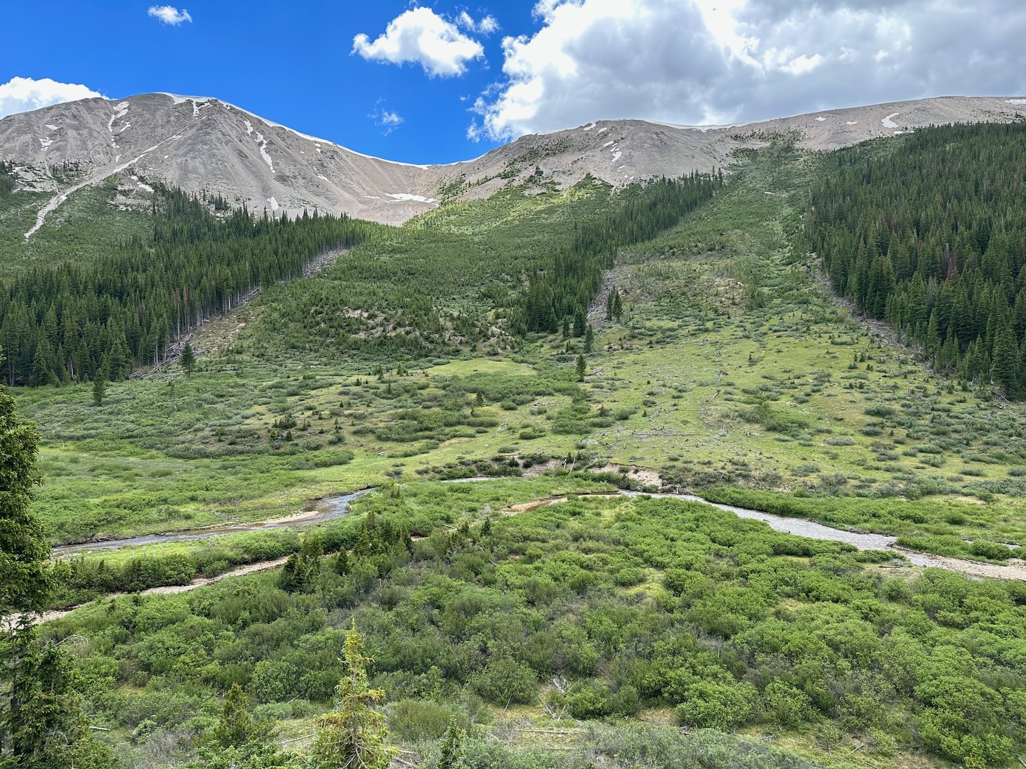
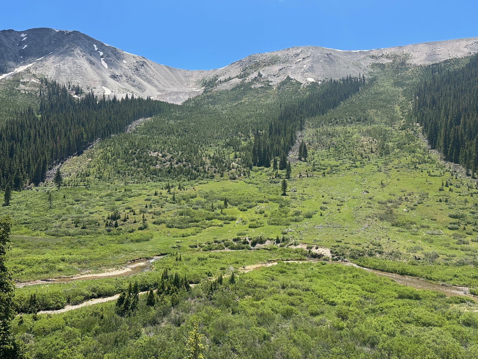
Lower ghost town avalanche & meander
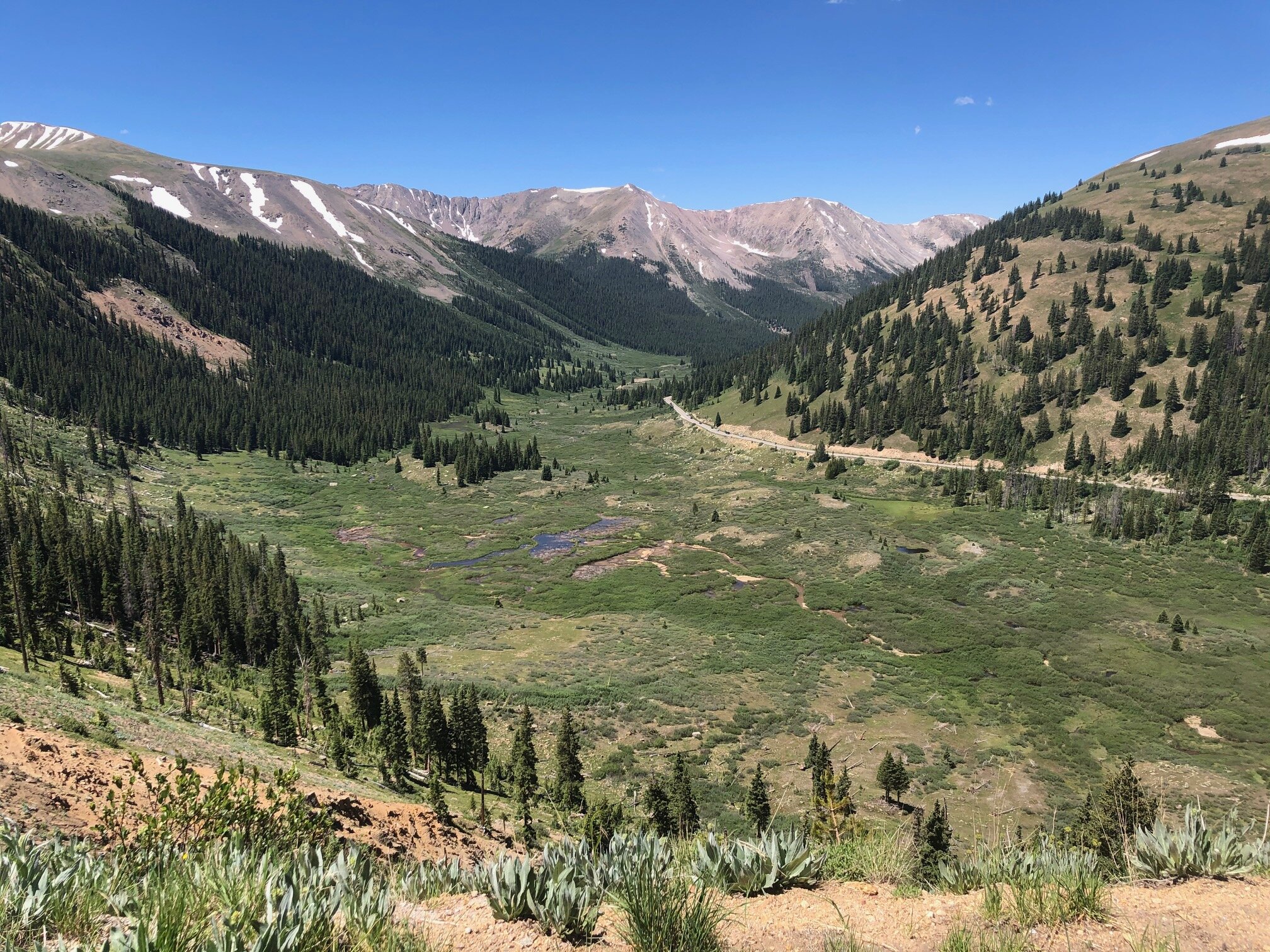
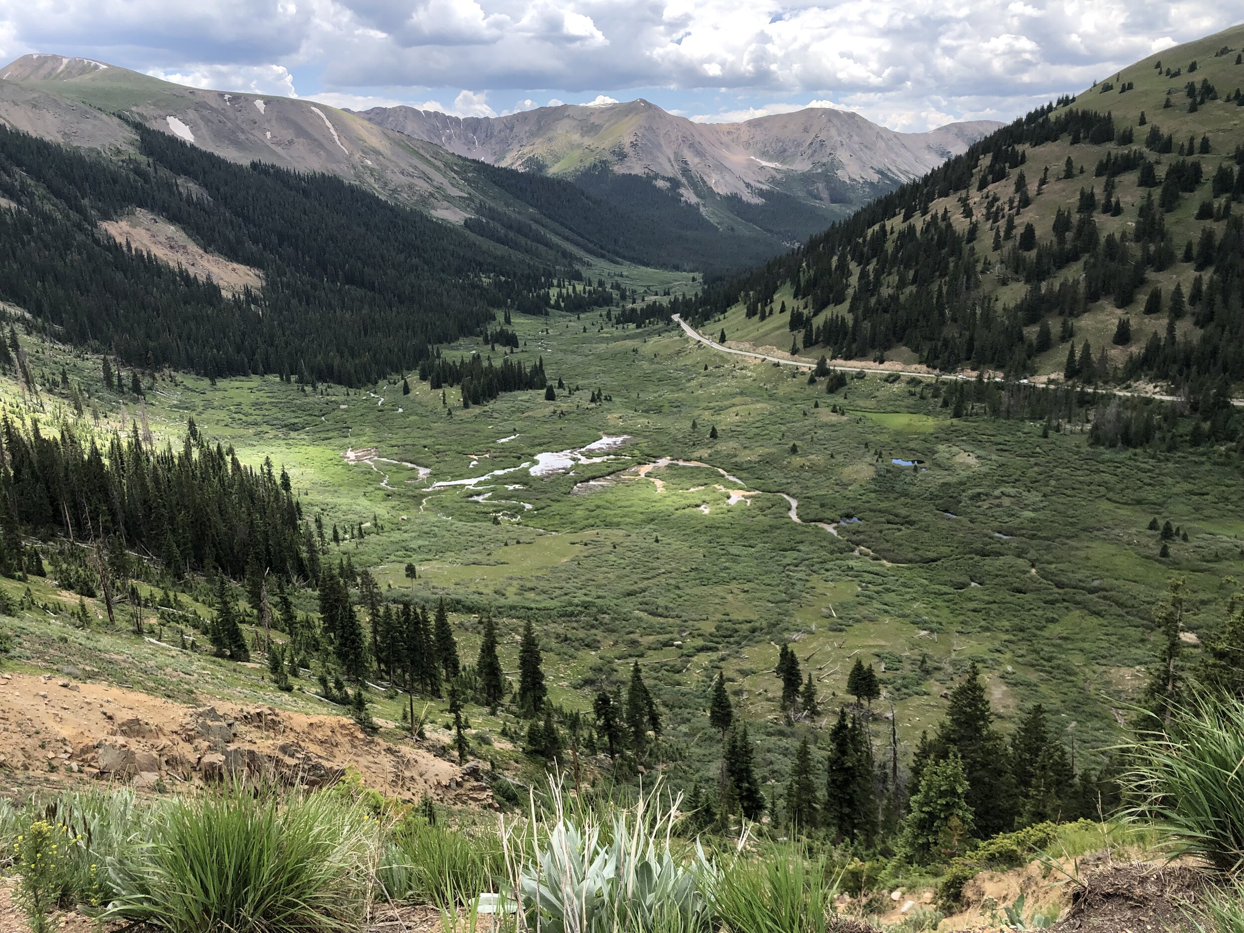
Top Cut
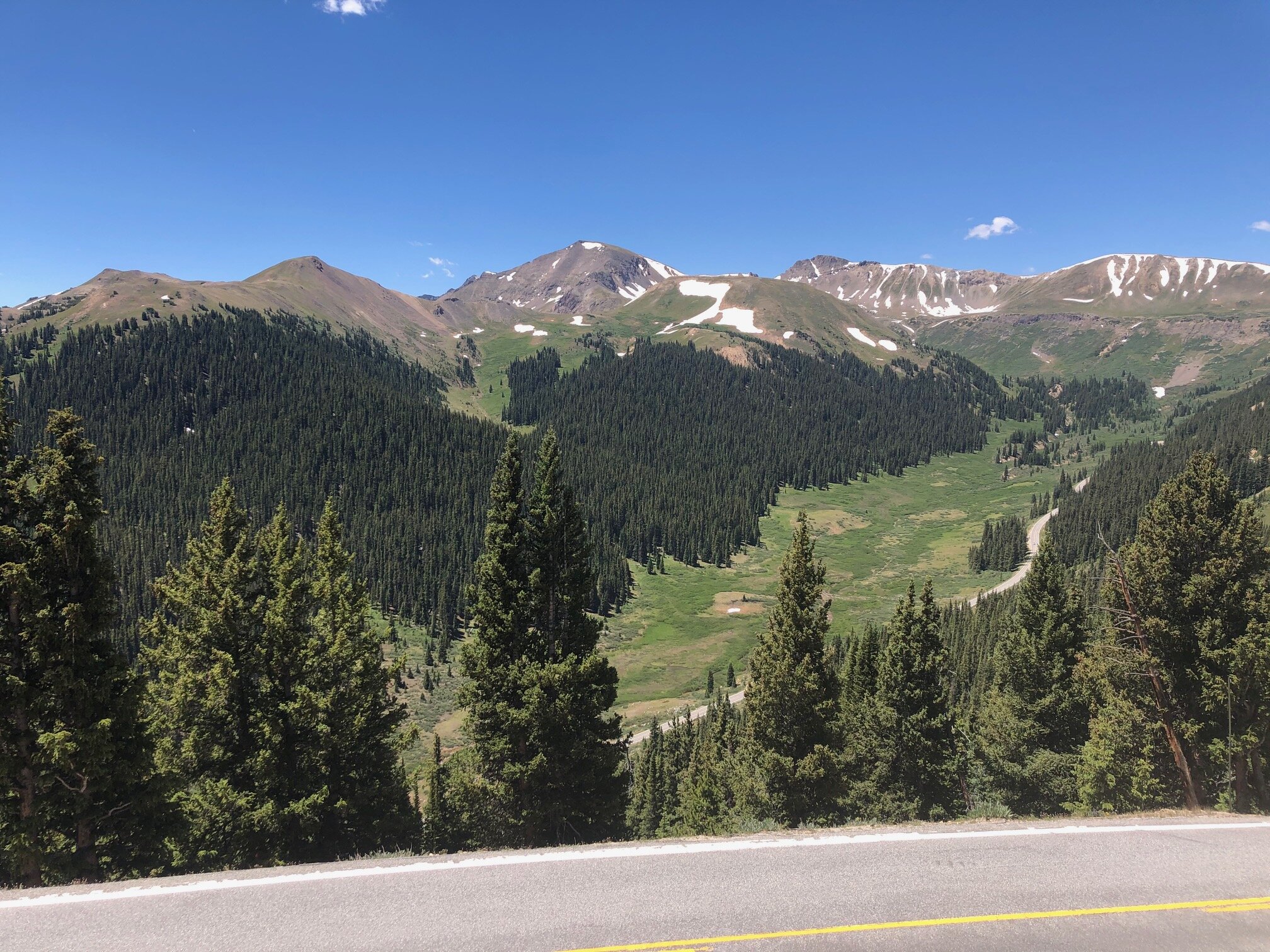
Roaring Fork River
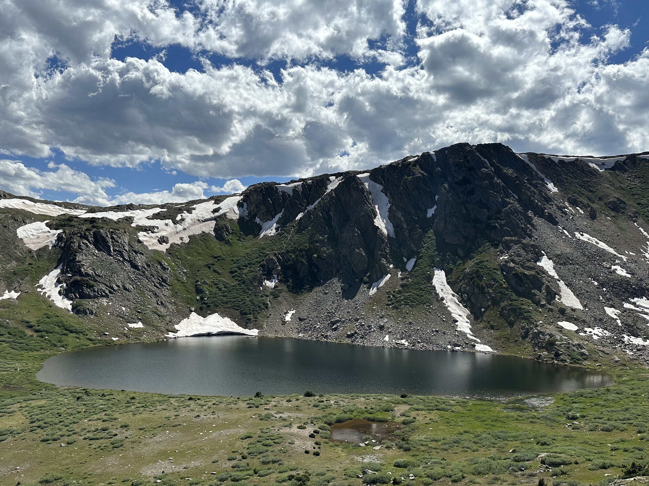
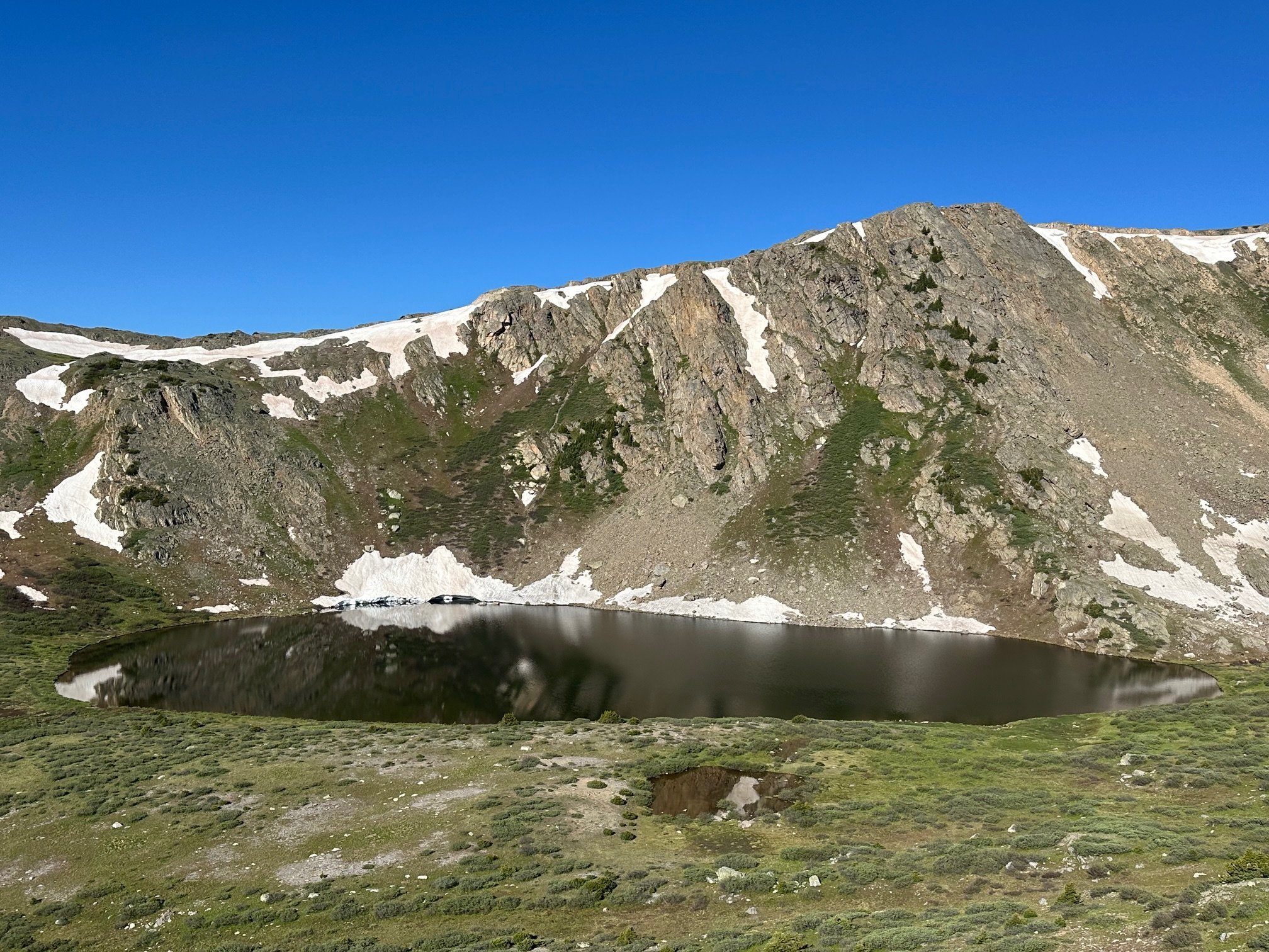
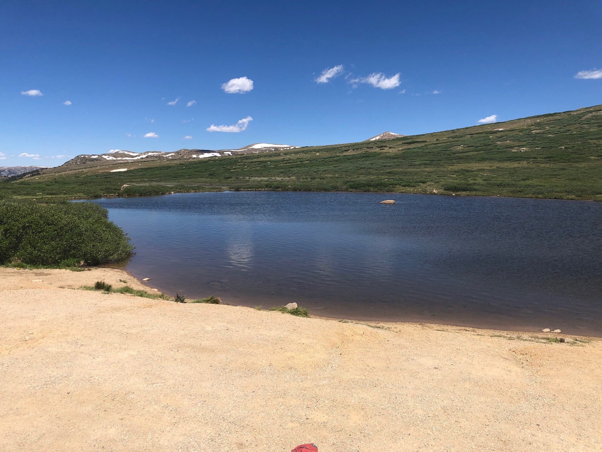
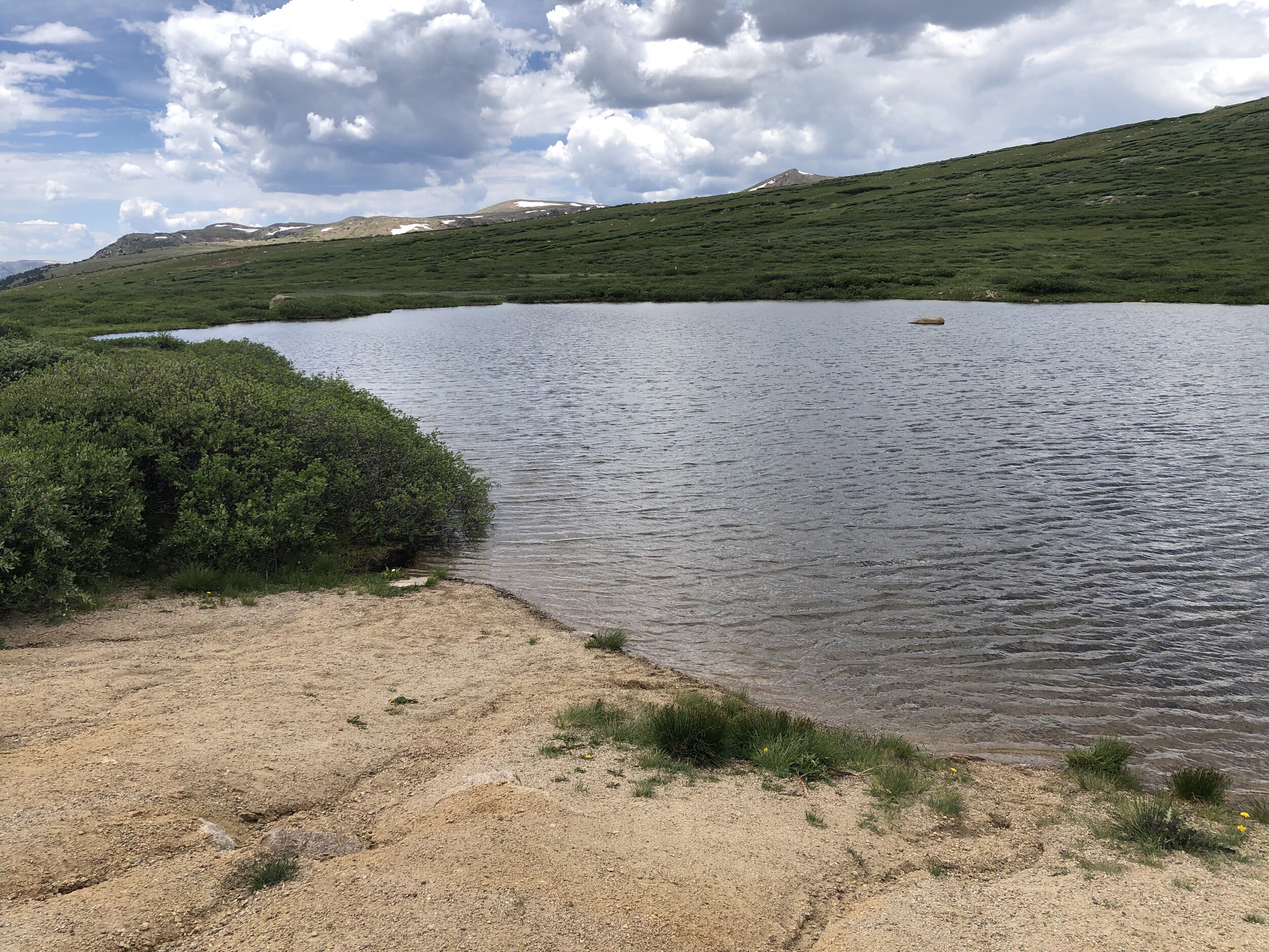
Linkins Lake
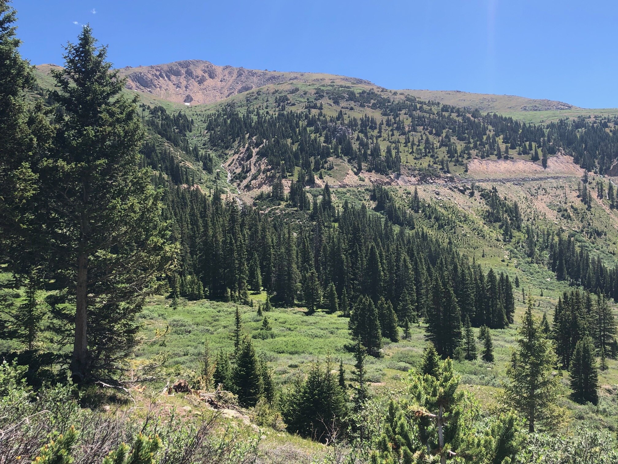
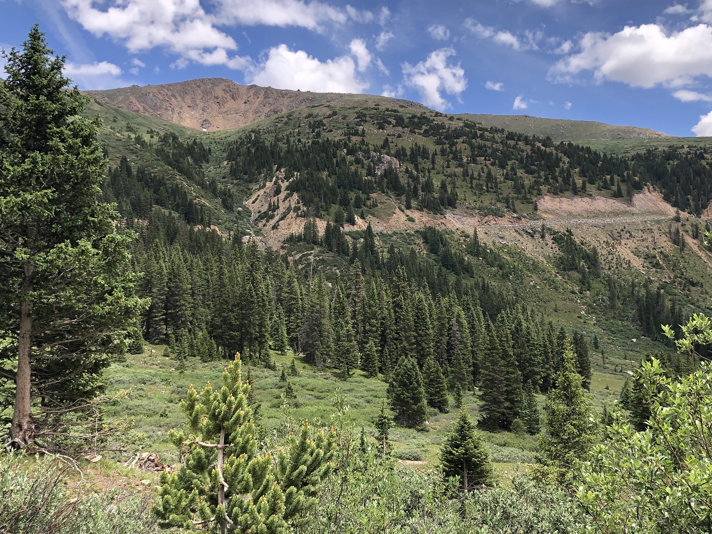
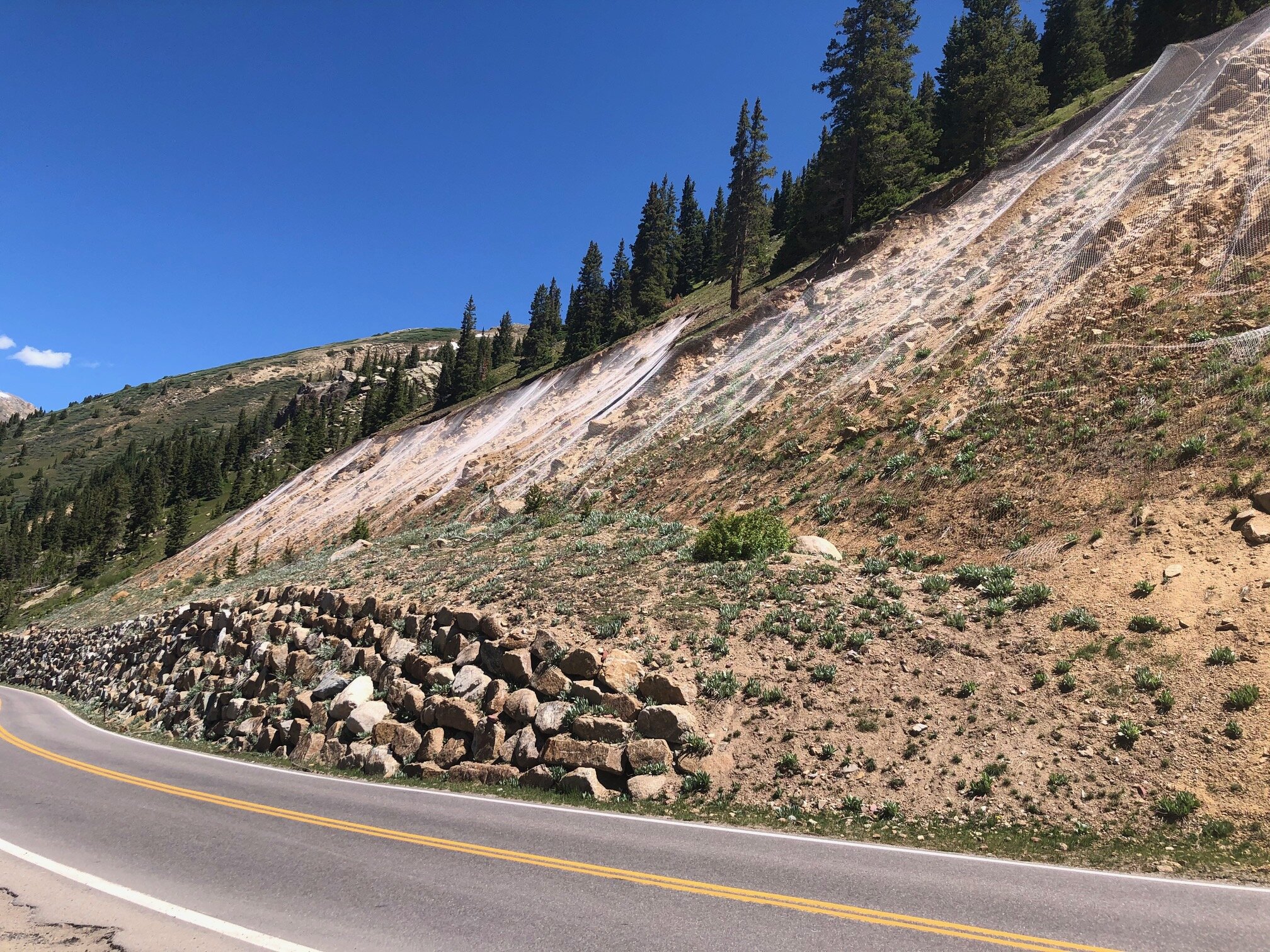
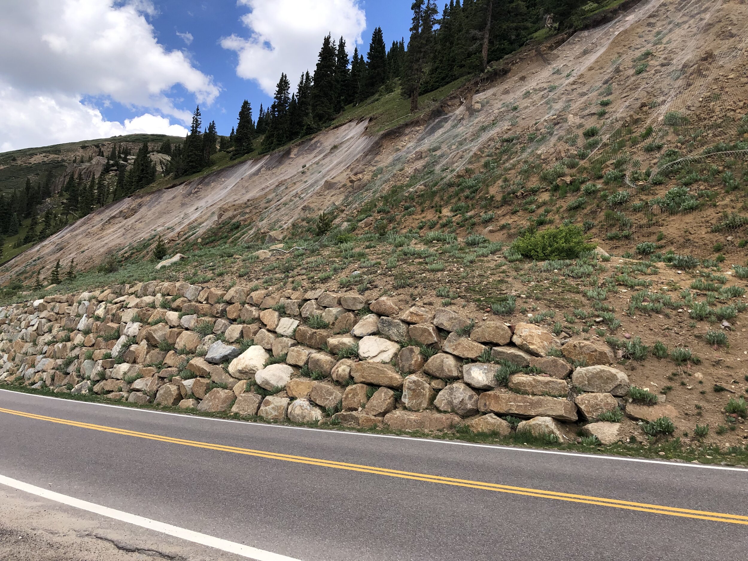
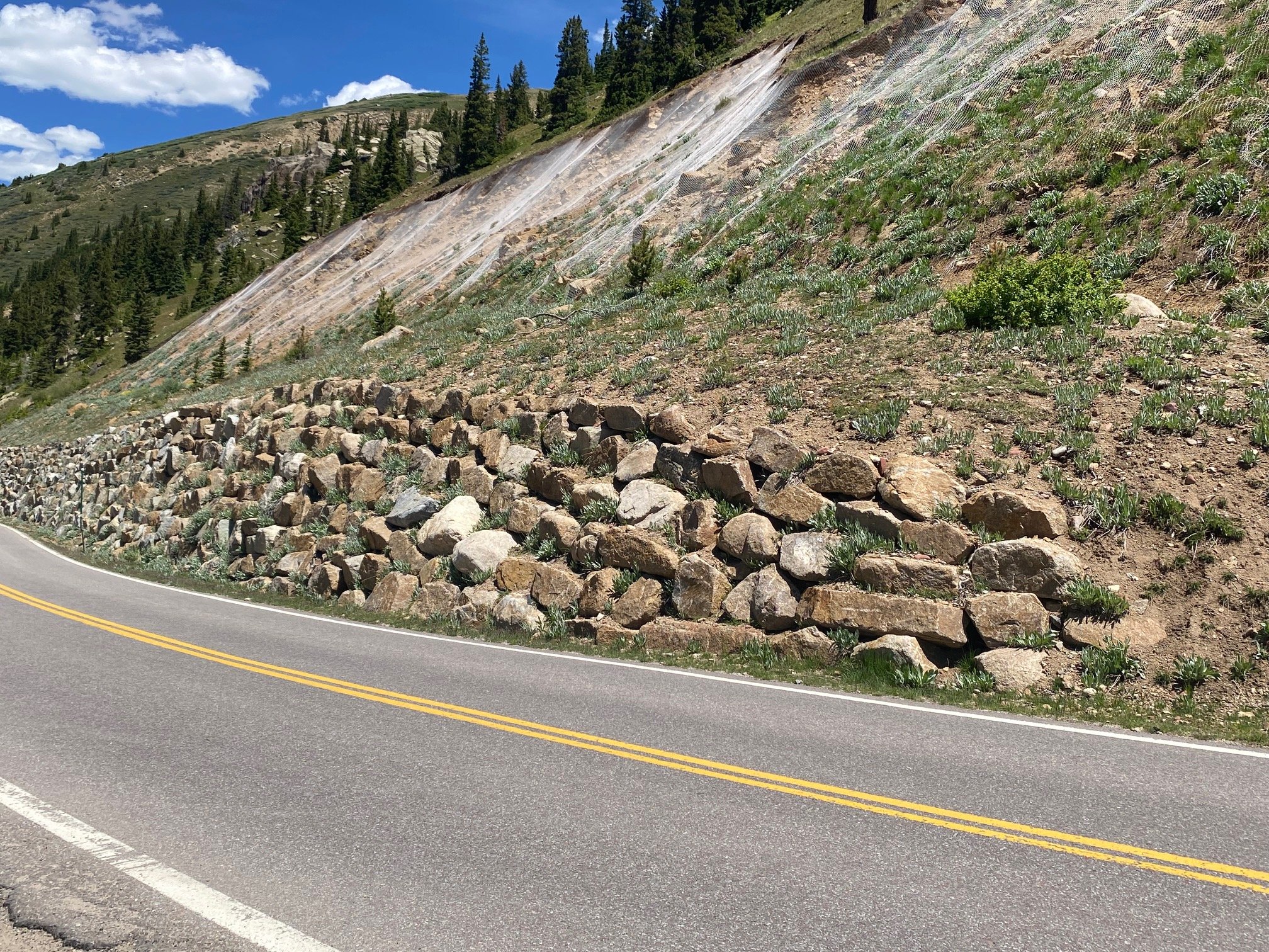
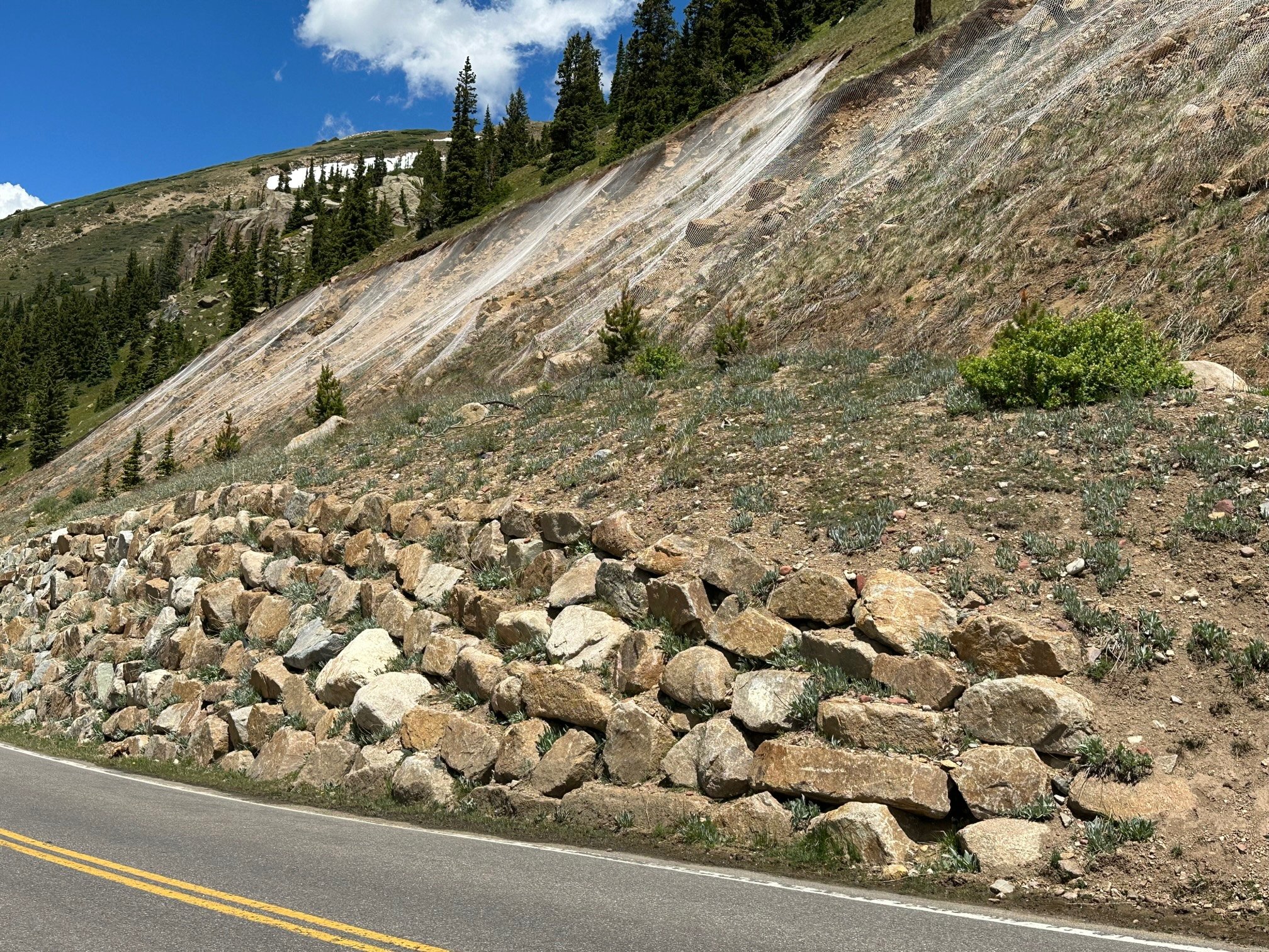
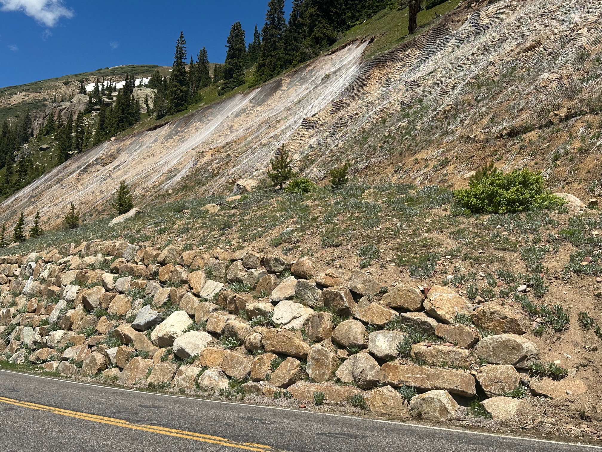
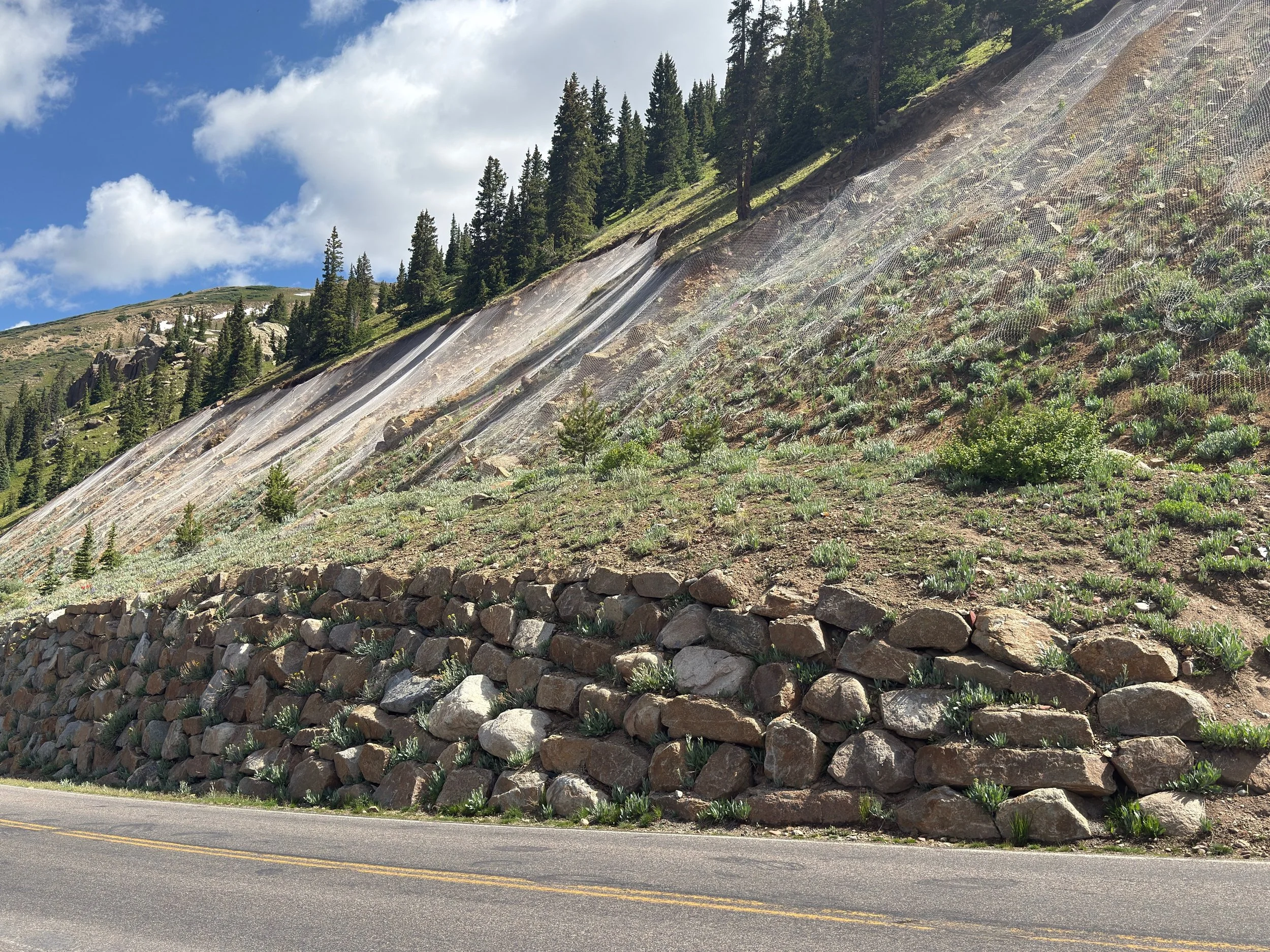
Independence Ridge & Roaring Fork River meander & rock wall & metal netting
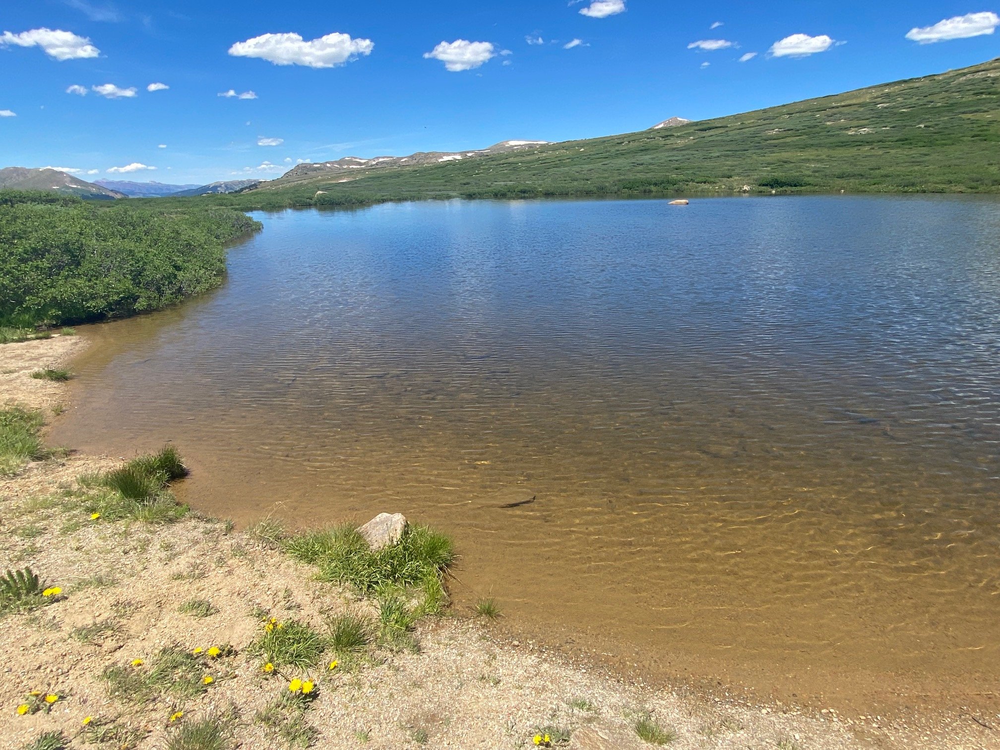
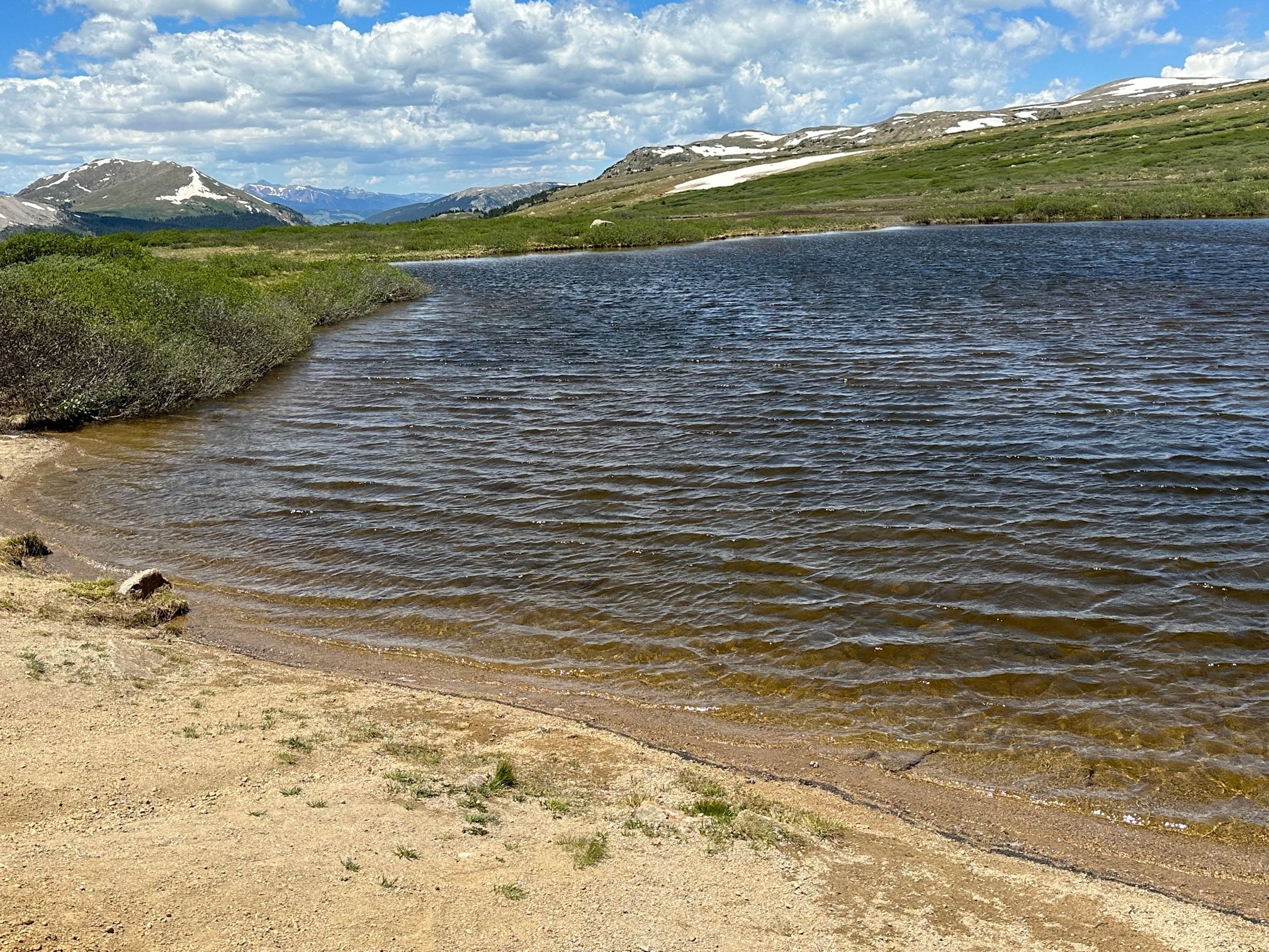
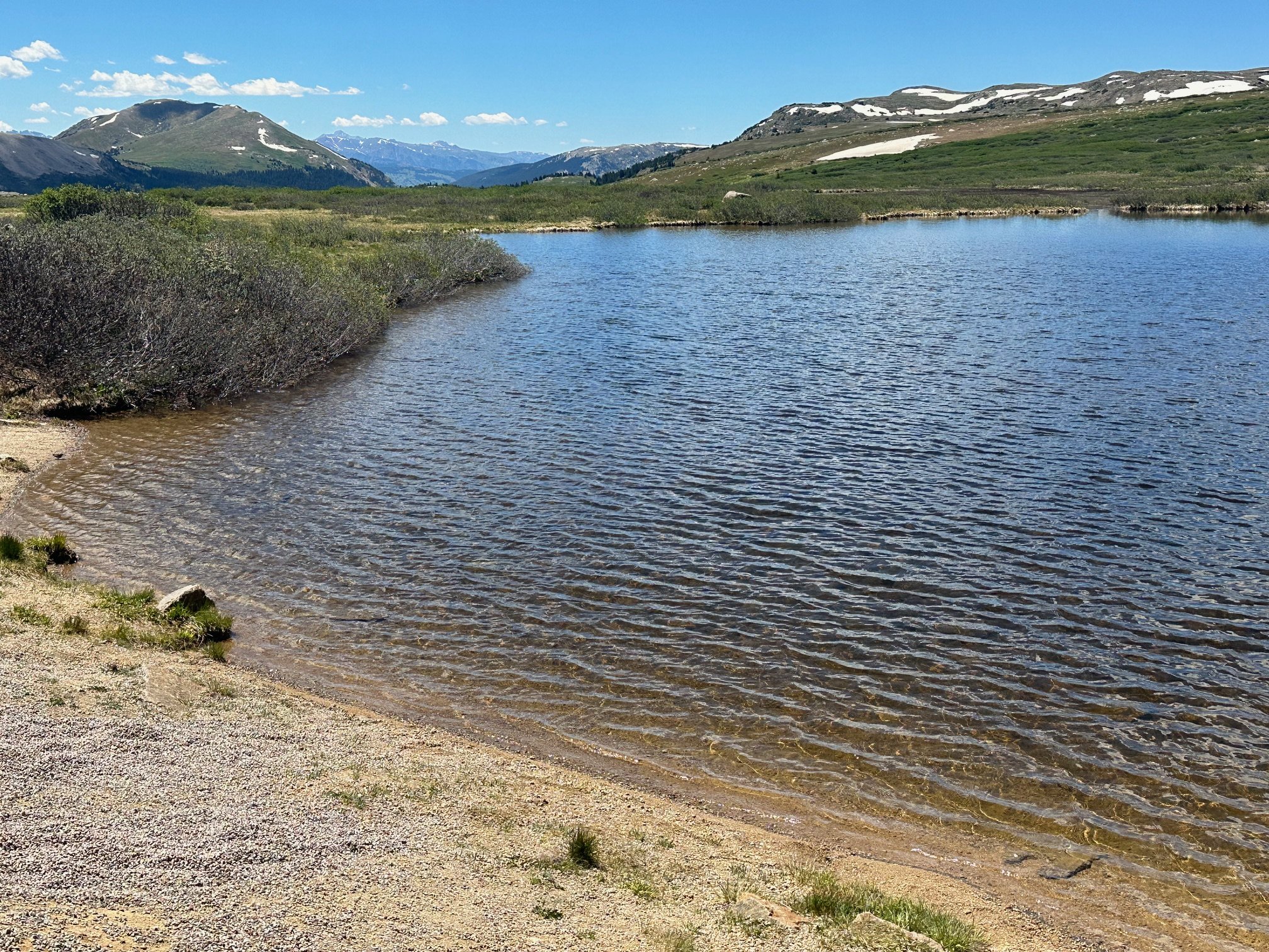
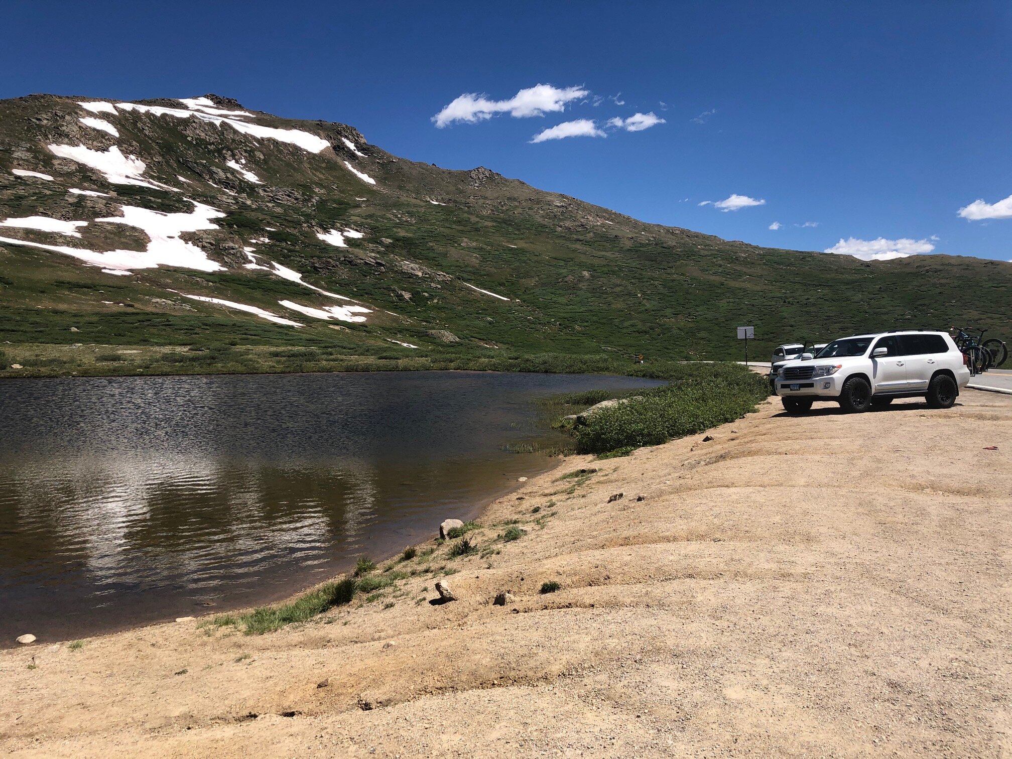
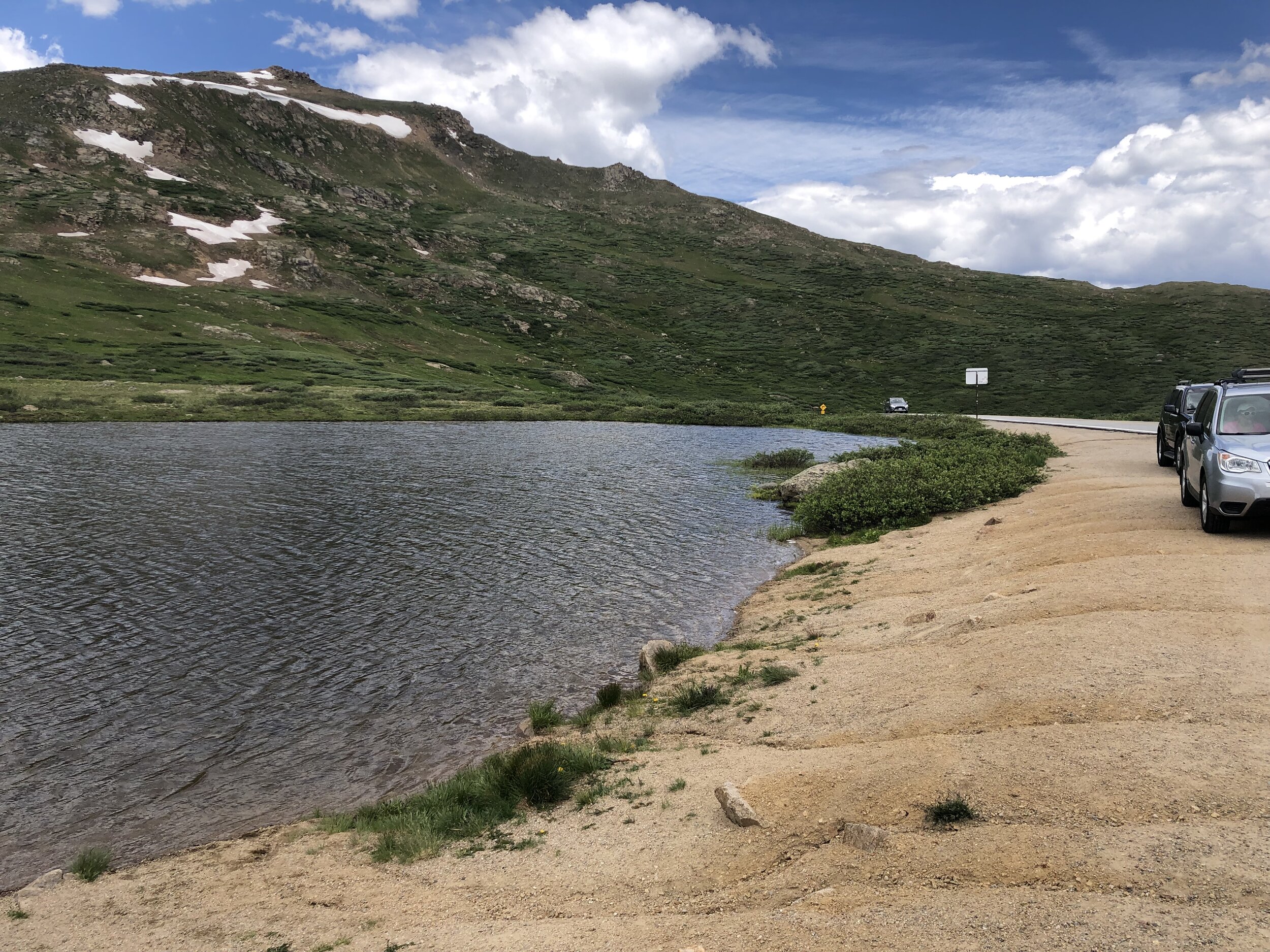
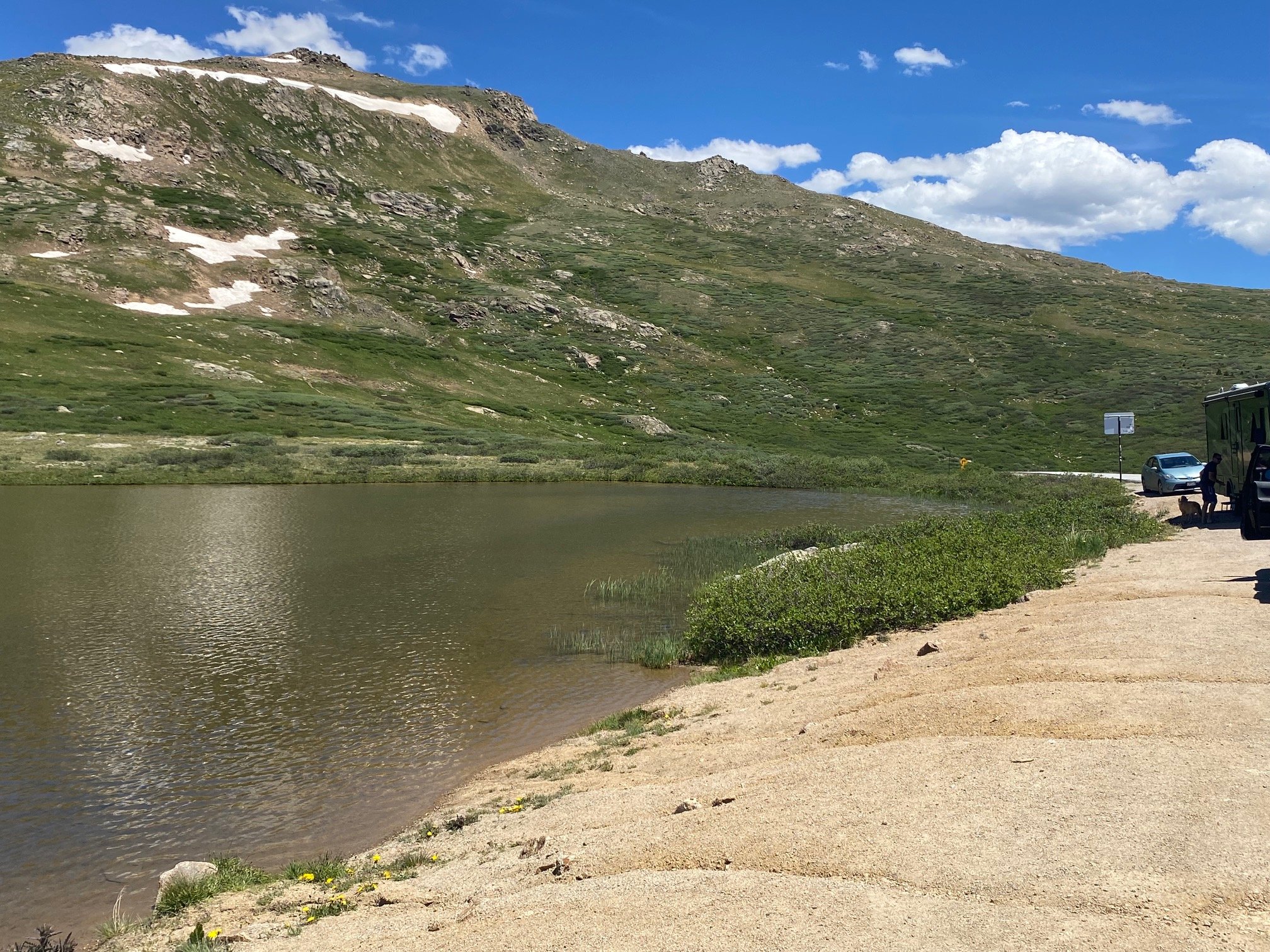
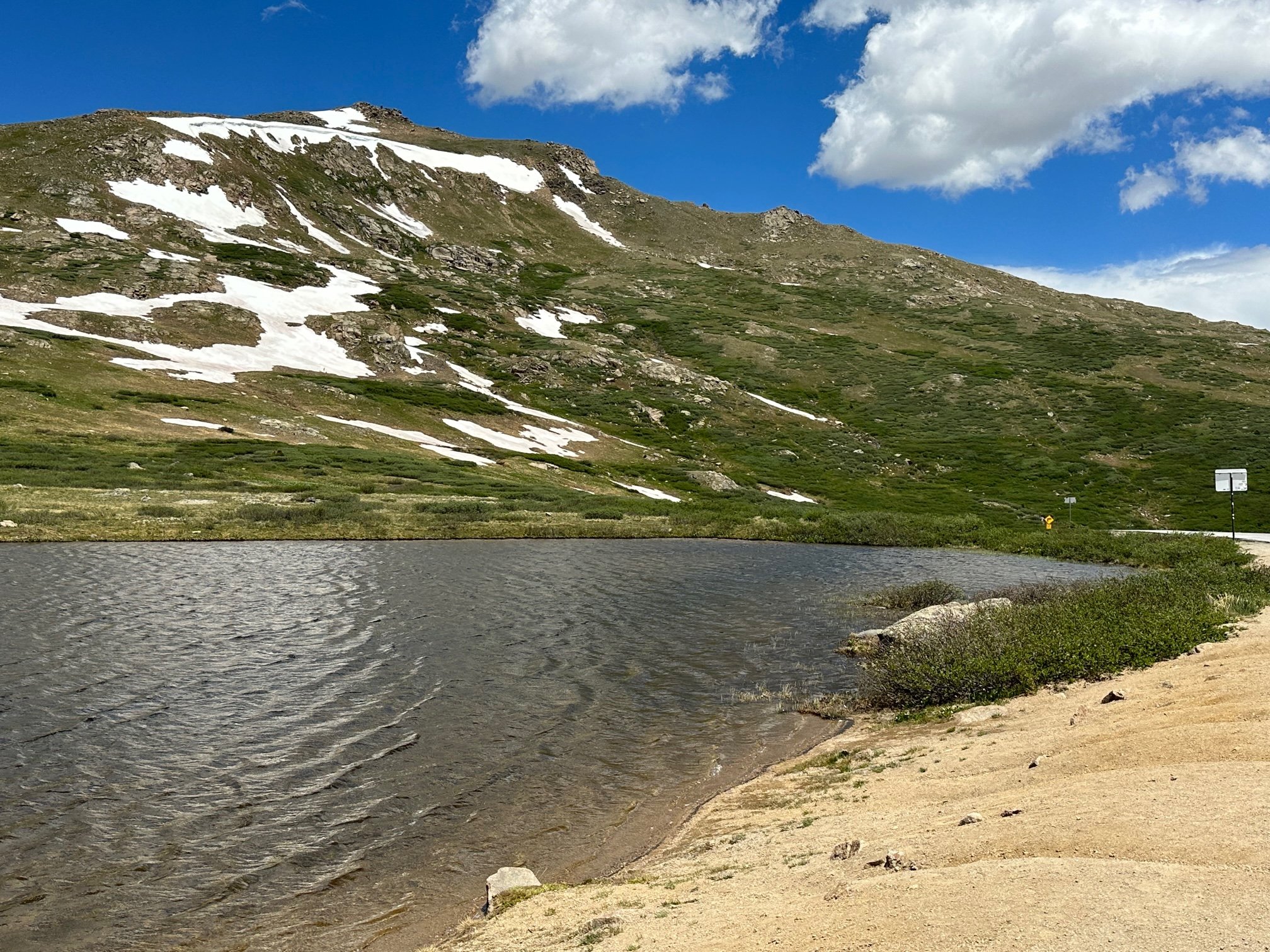
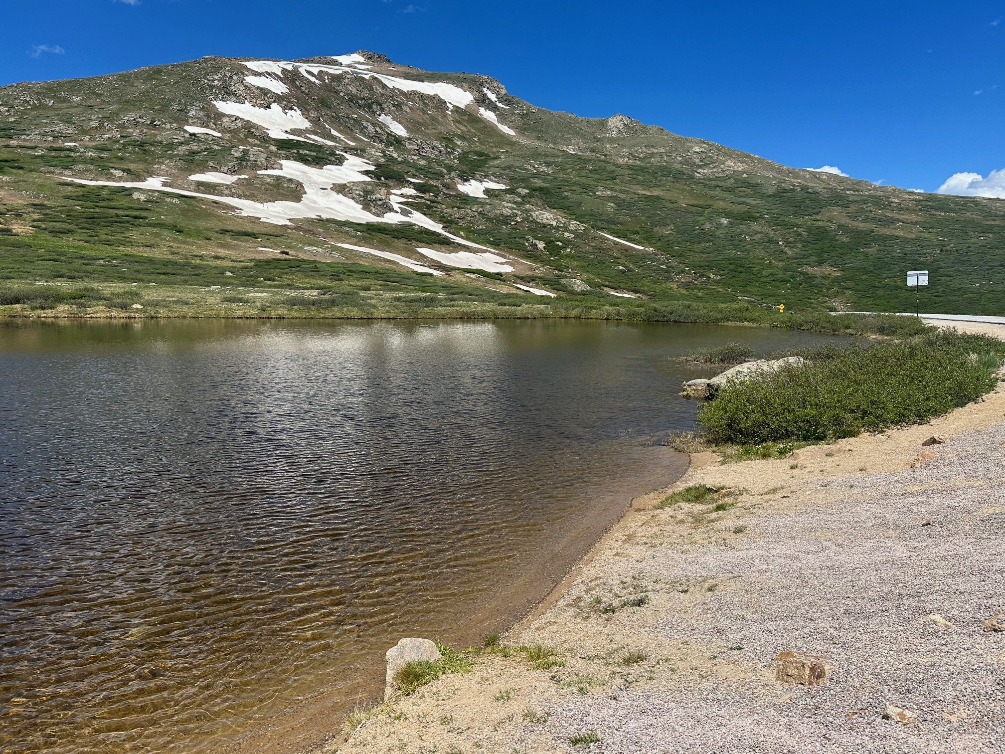
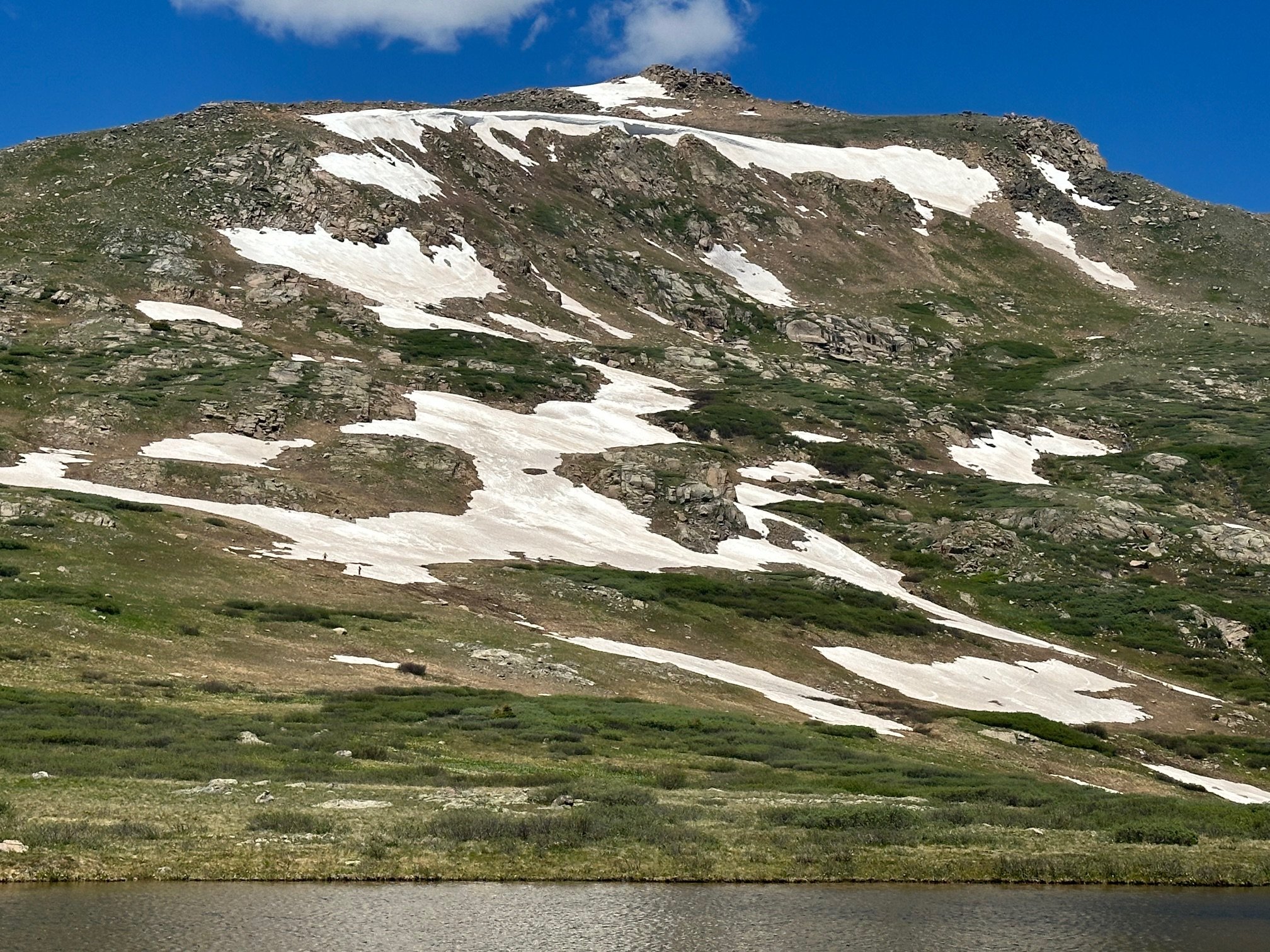
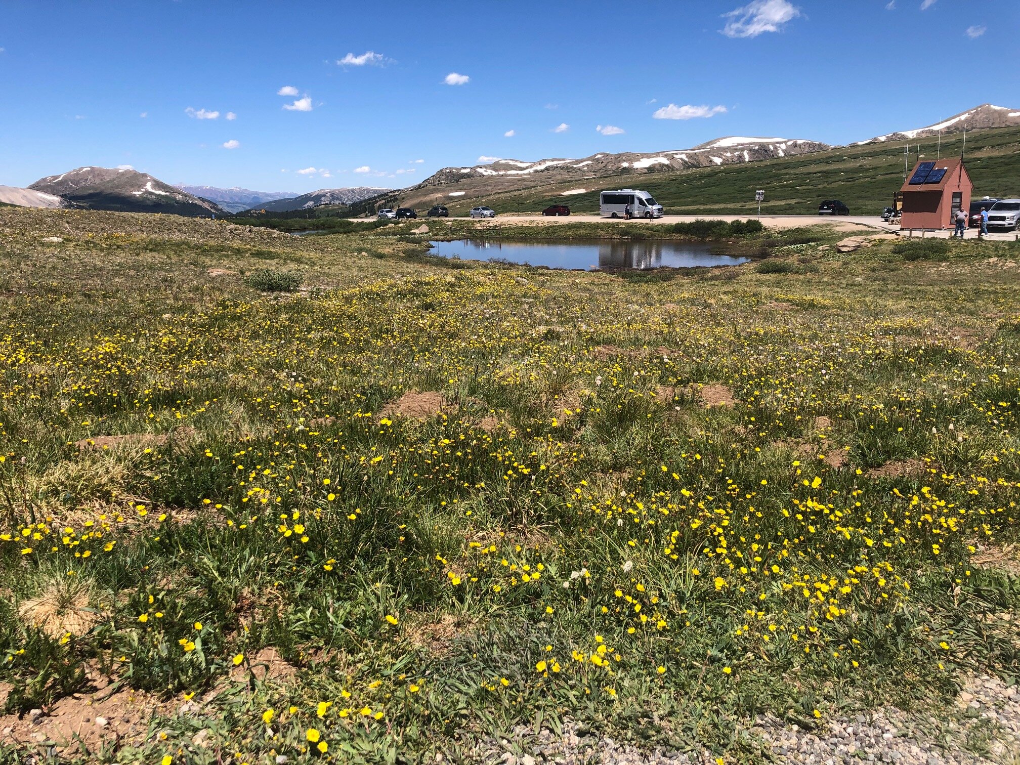
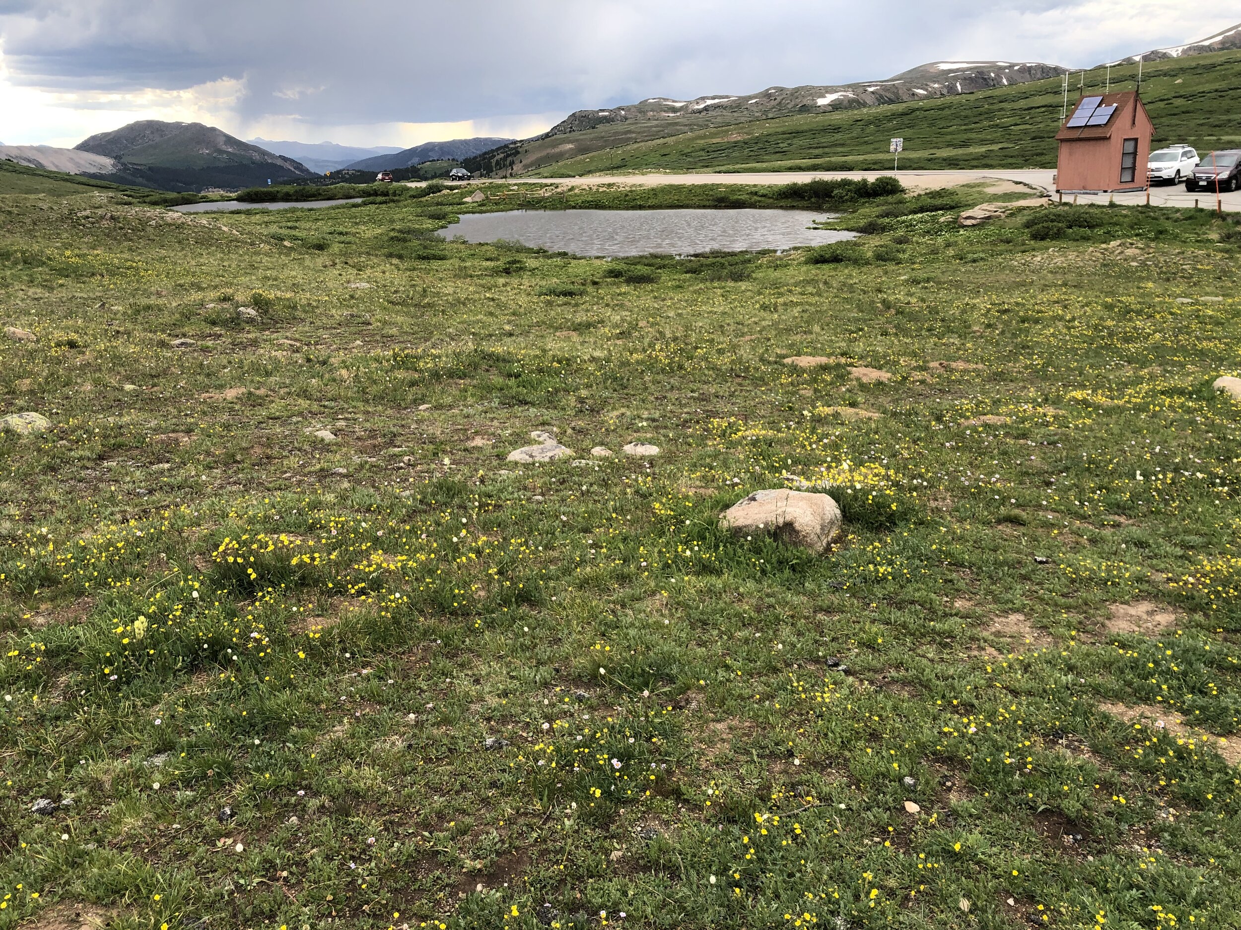
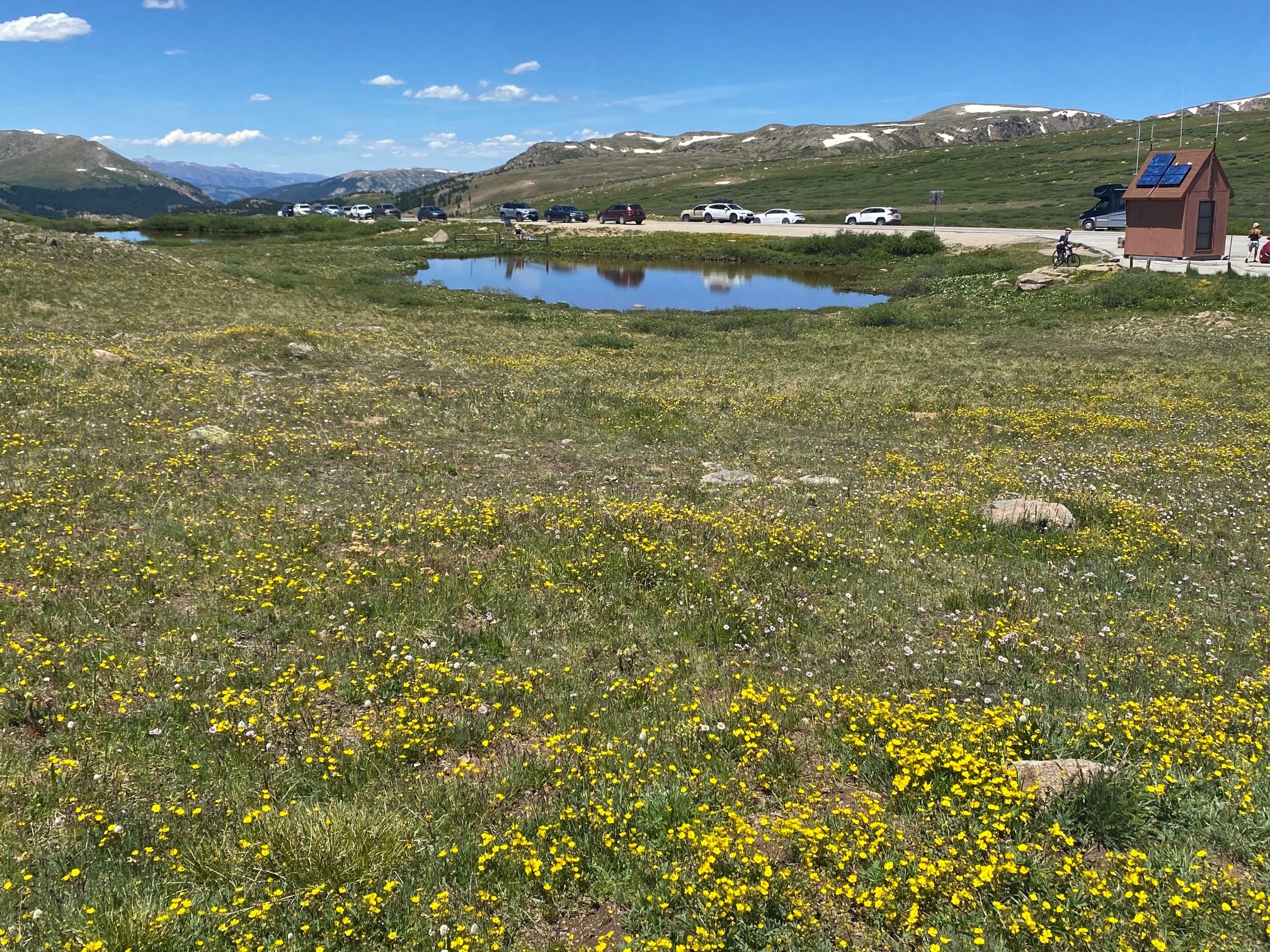
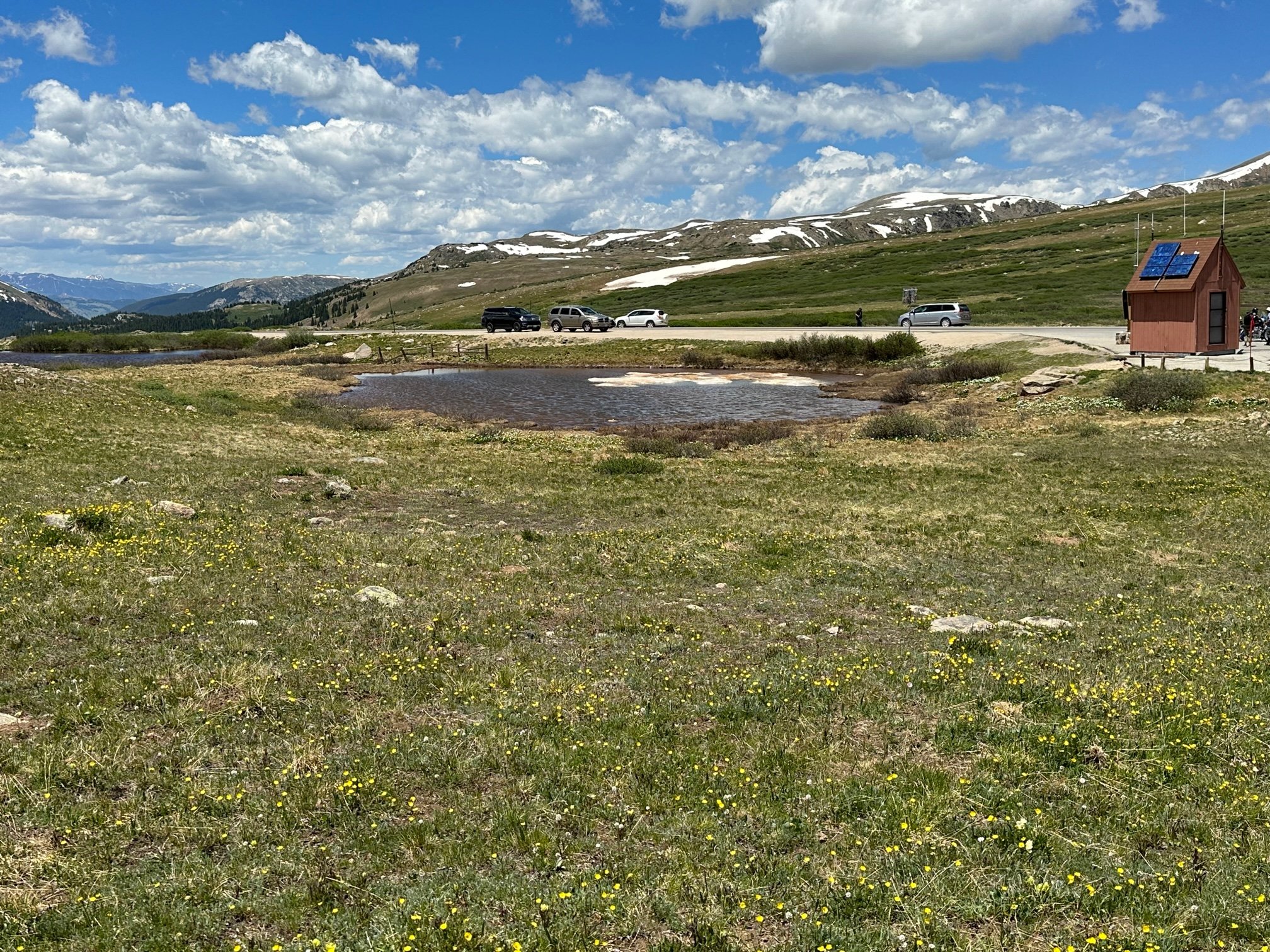
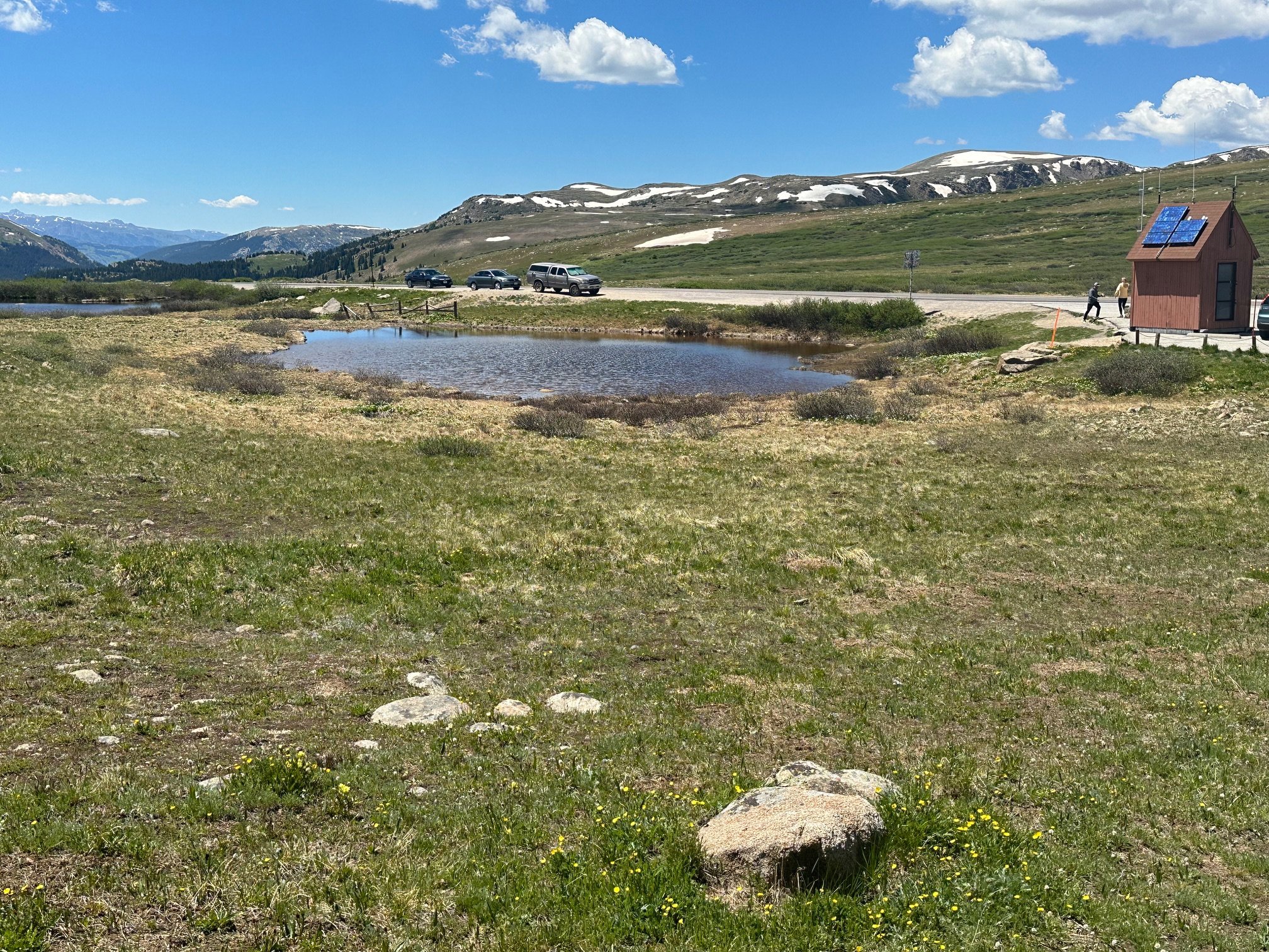
Summit tarn
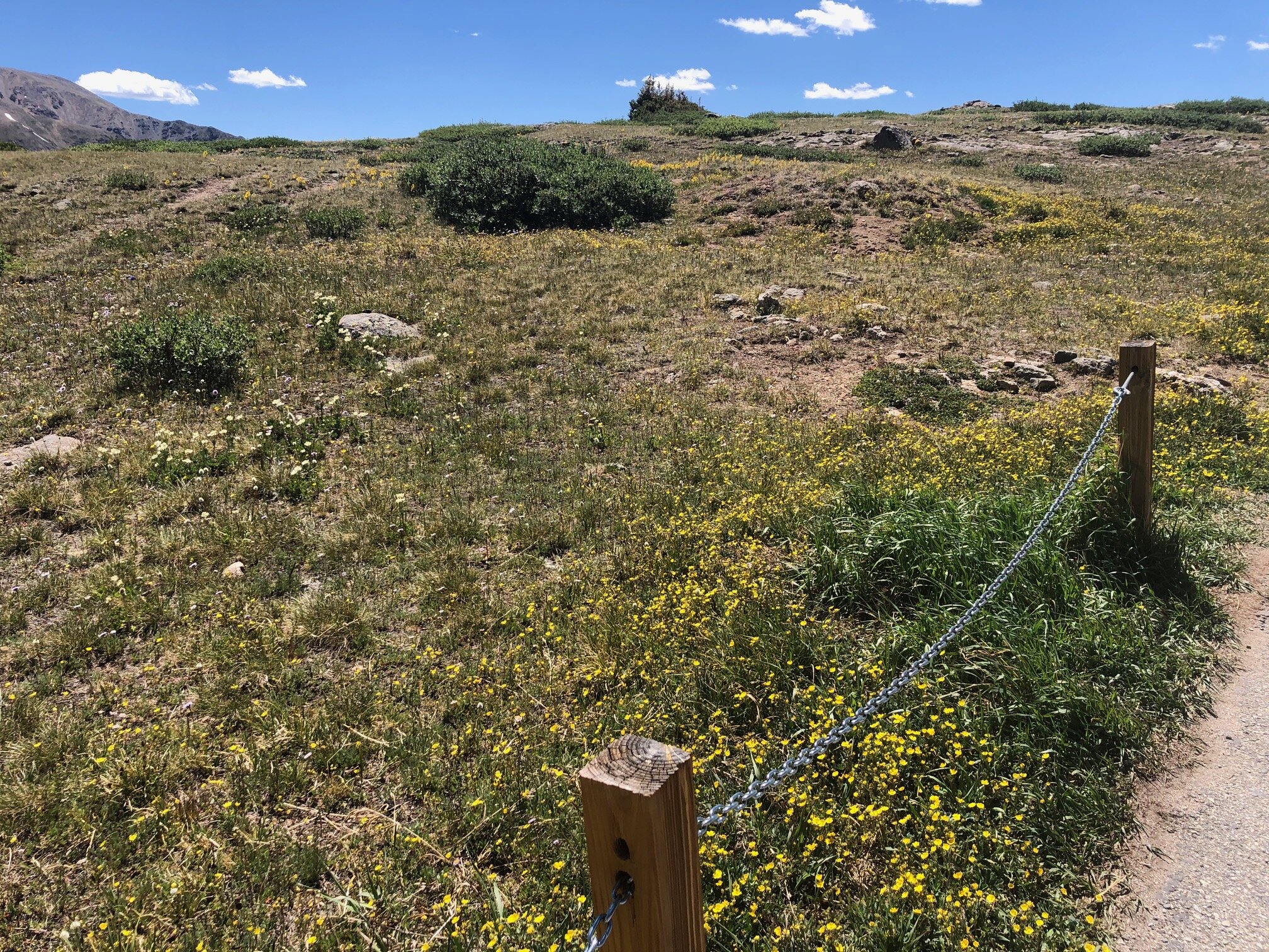
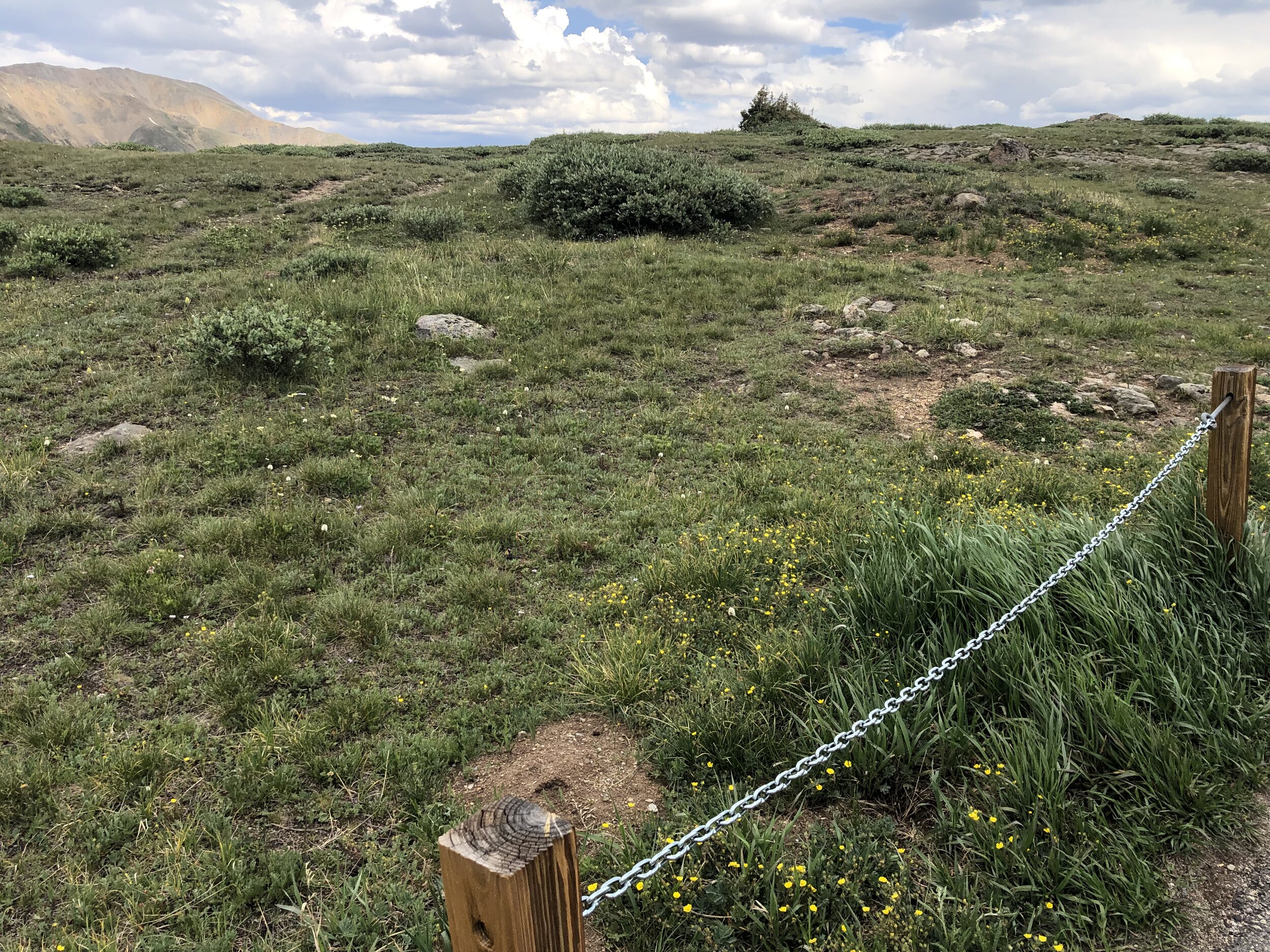
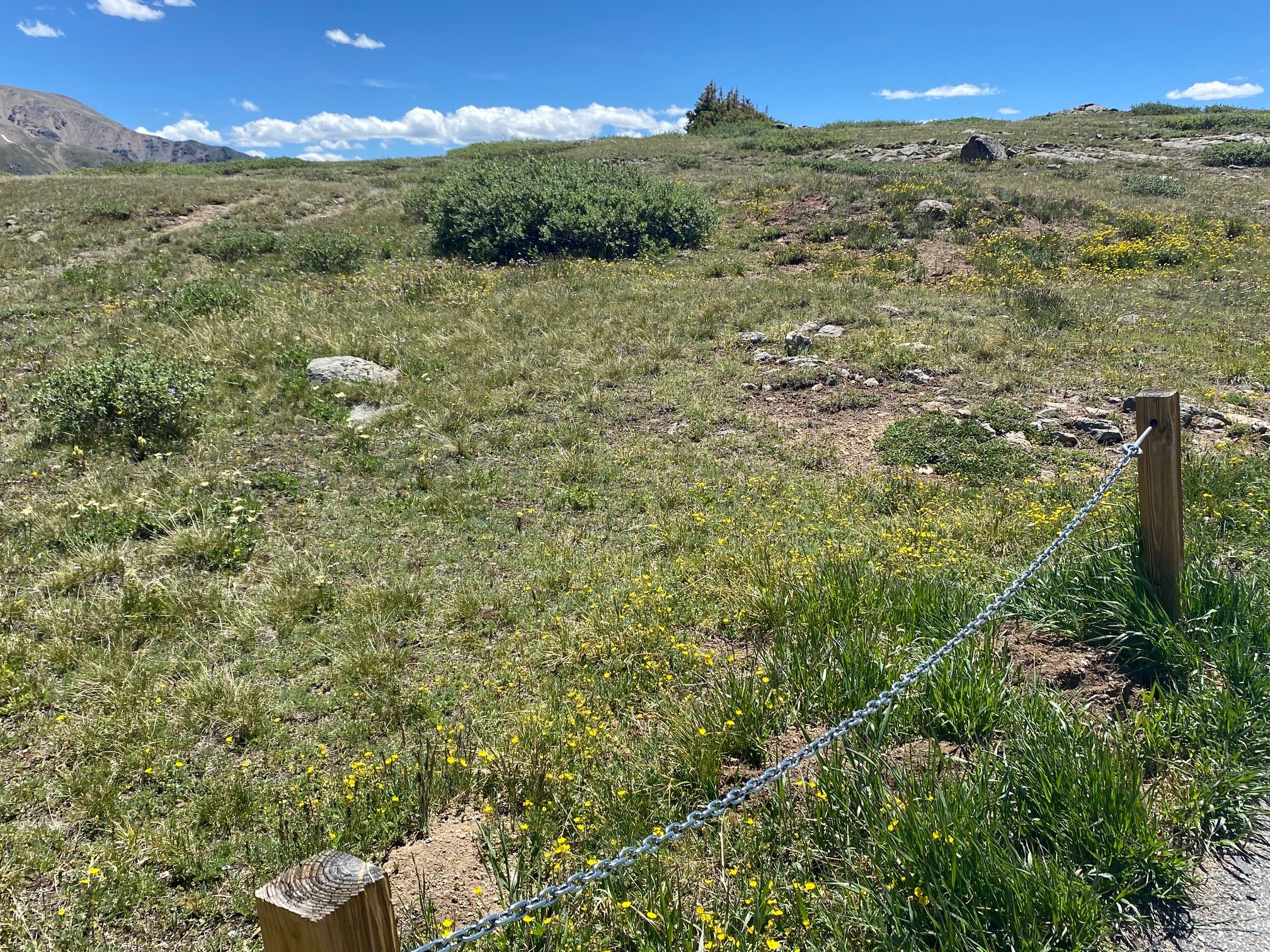
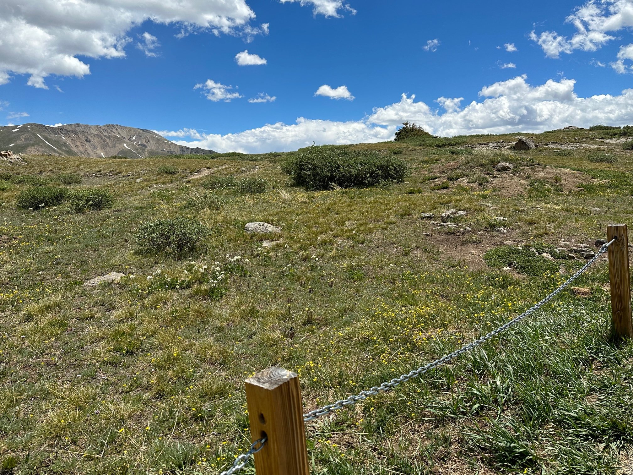
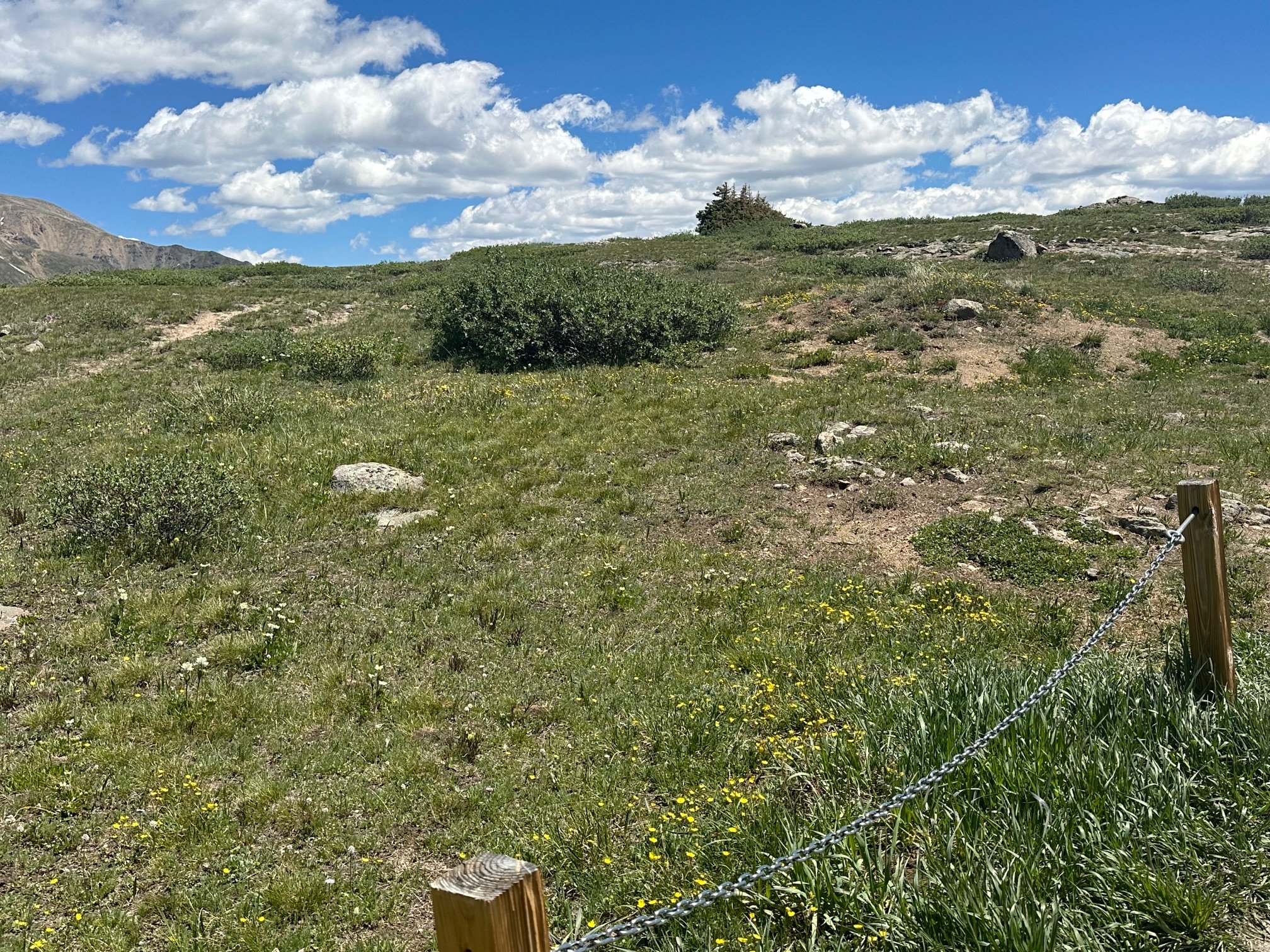
Summit wildflowers
Mountain Boy
La Plata, peaks & North Fork Lake Creek meander
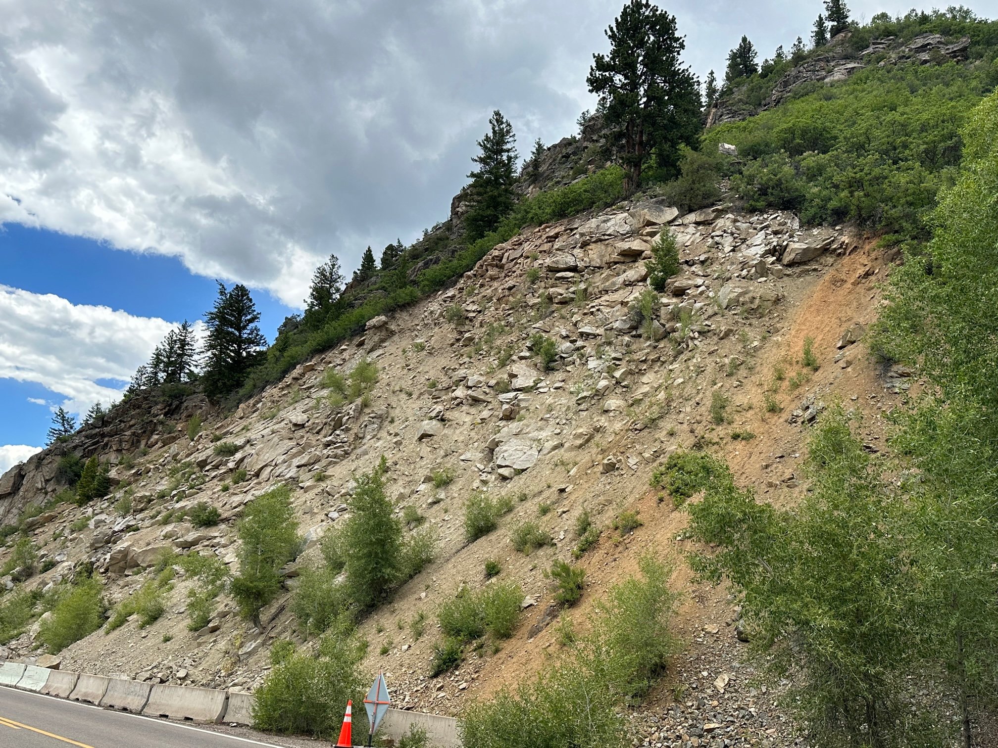
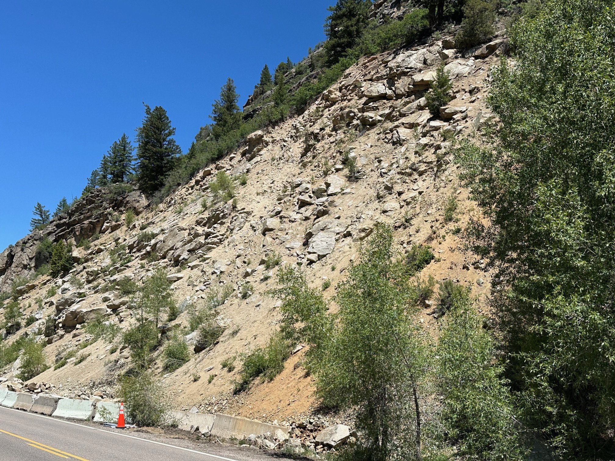
1. Tagert Cut


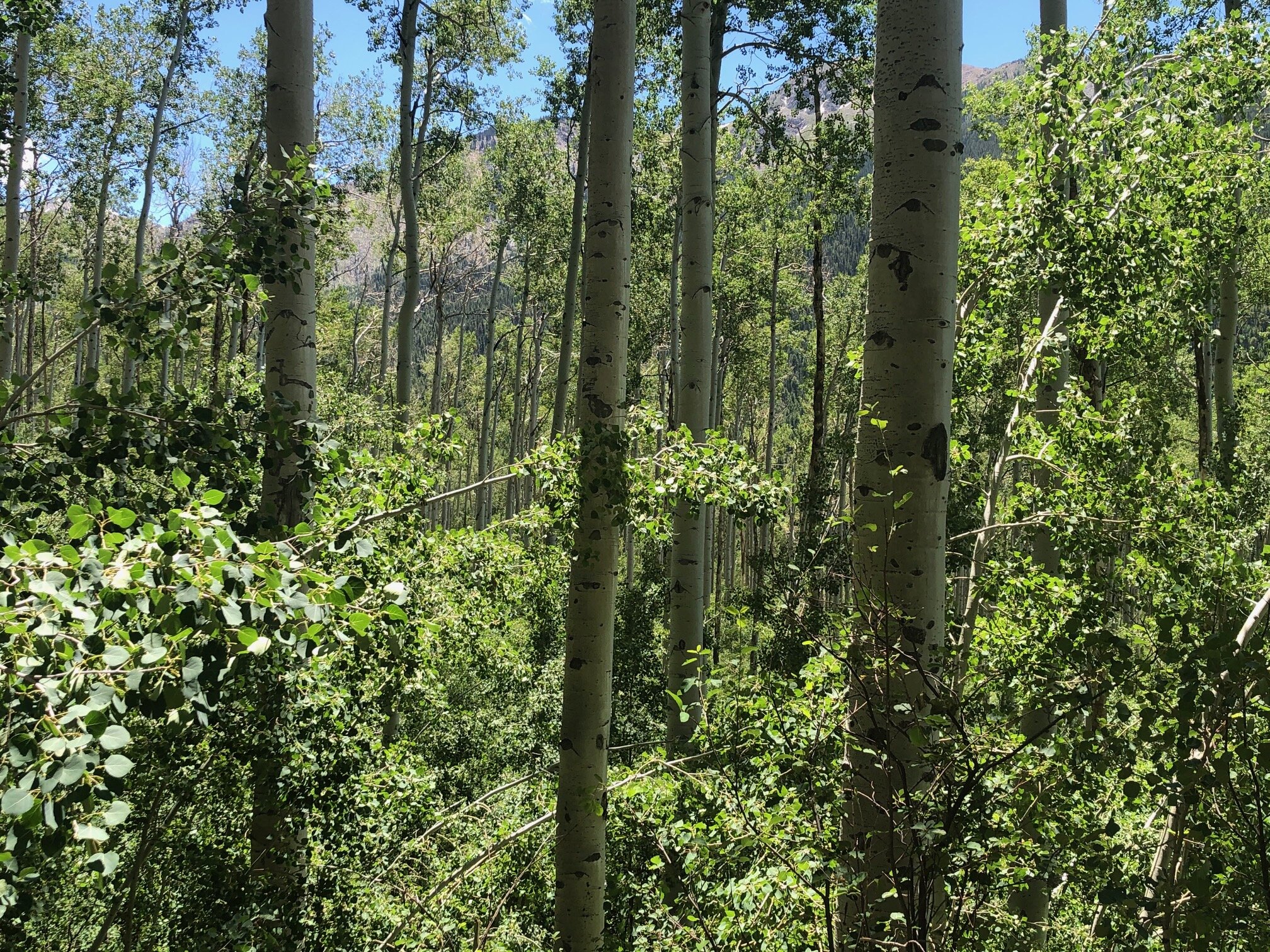
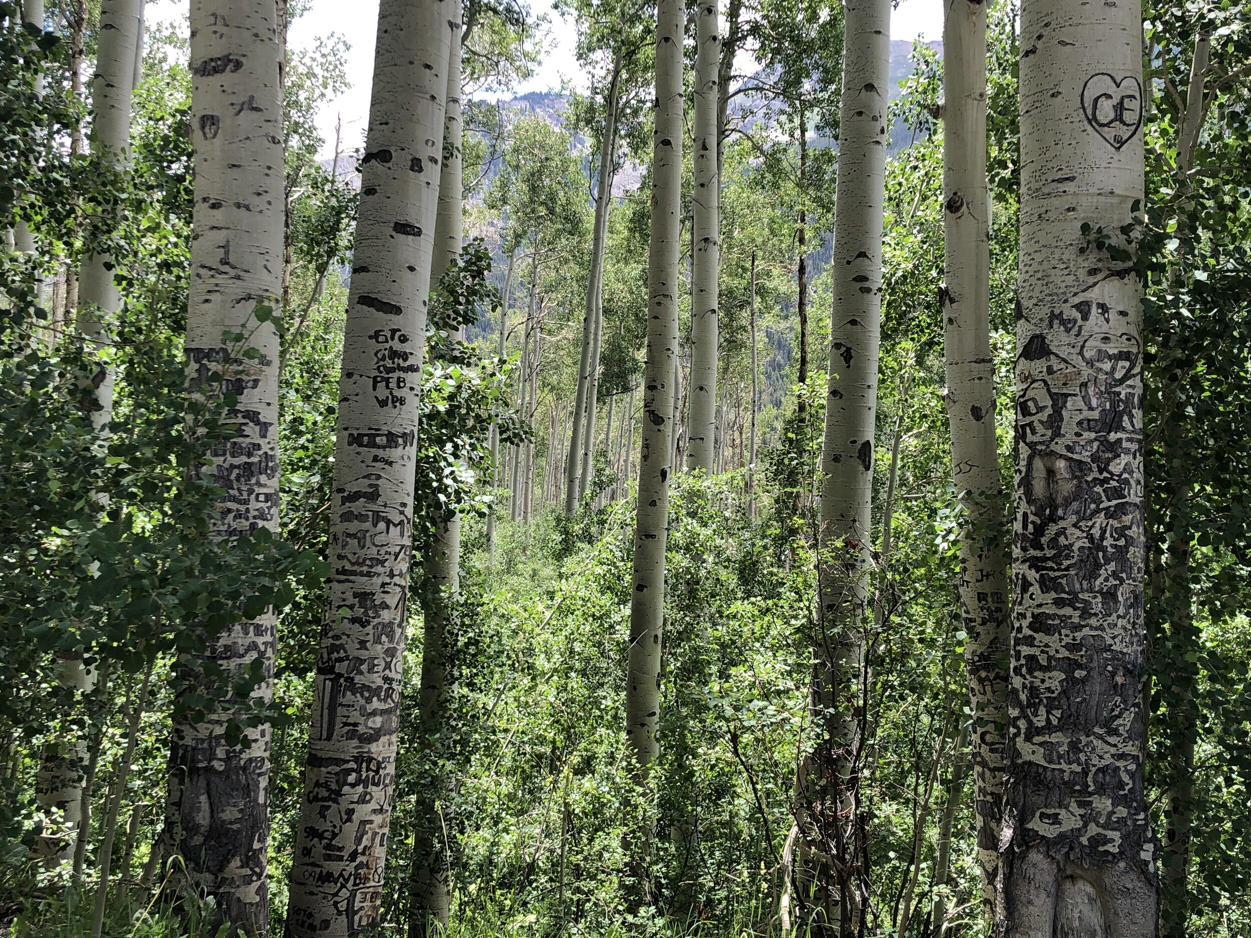
2. Aspen groves
Two photos, a & b, one southeast of road, one northeast across road, from very large pullout on right side of road before Weller curve, with “Road narrows 15mph” sign, from at upper end of pullout.


3. Difficult & Richmond Ridges & Shimer burn
Two photos, a & b, from small, guard-railed pullout just before narrows of Weller curve, photo of Shimer telephotoed.
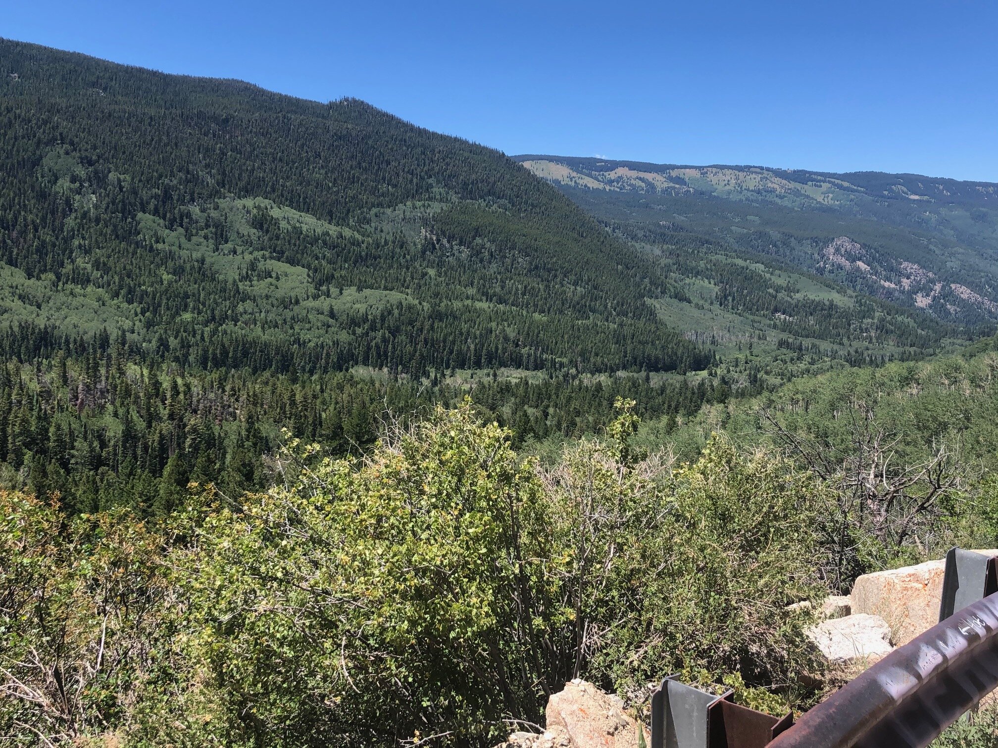
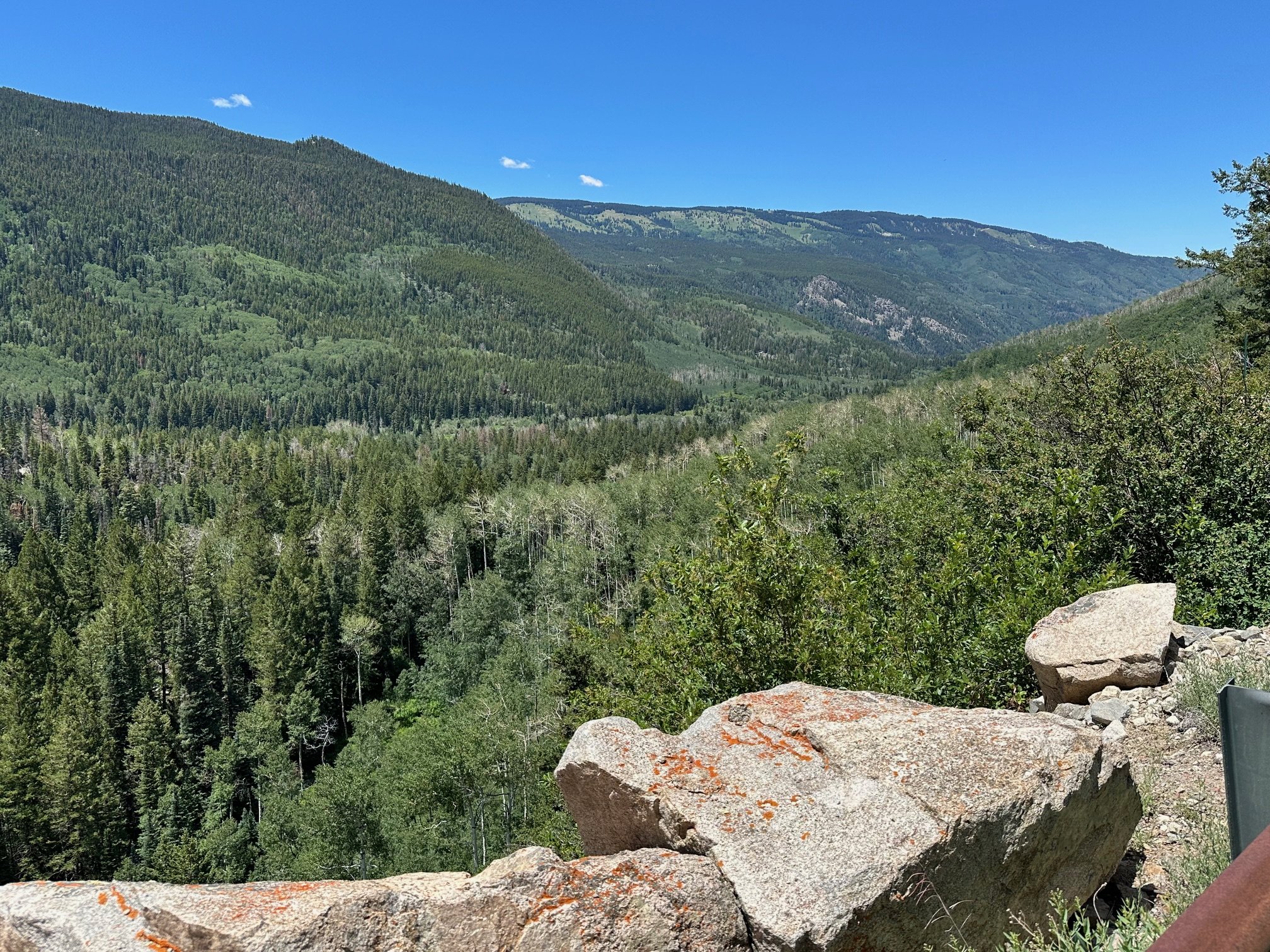


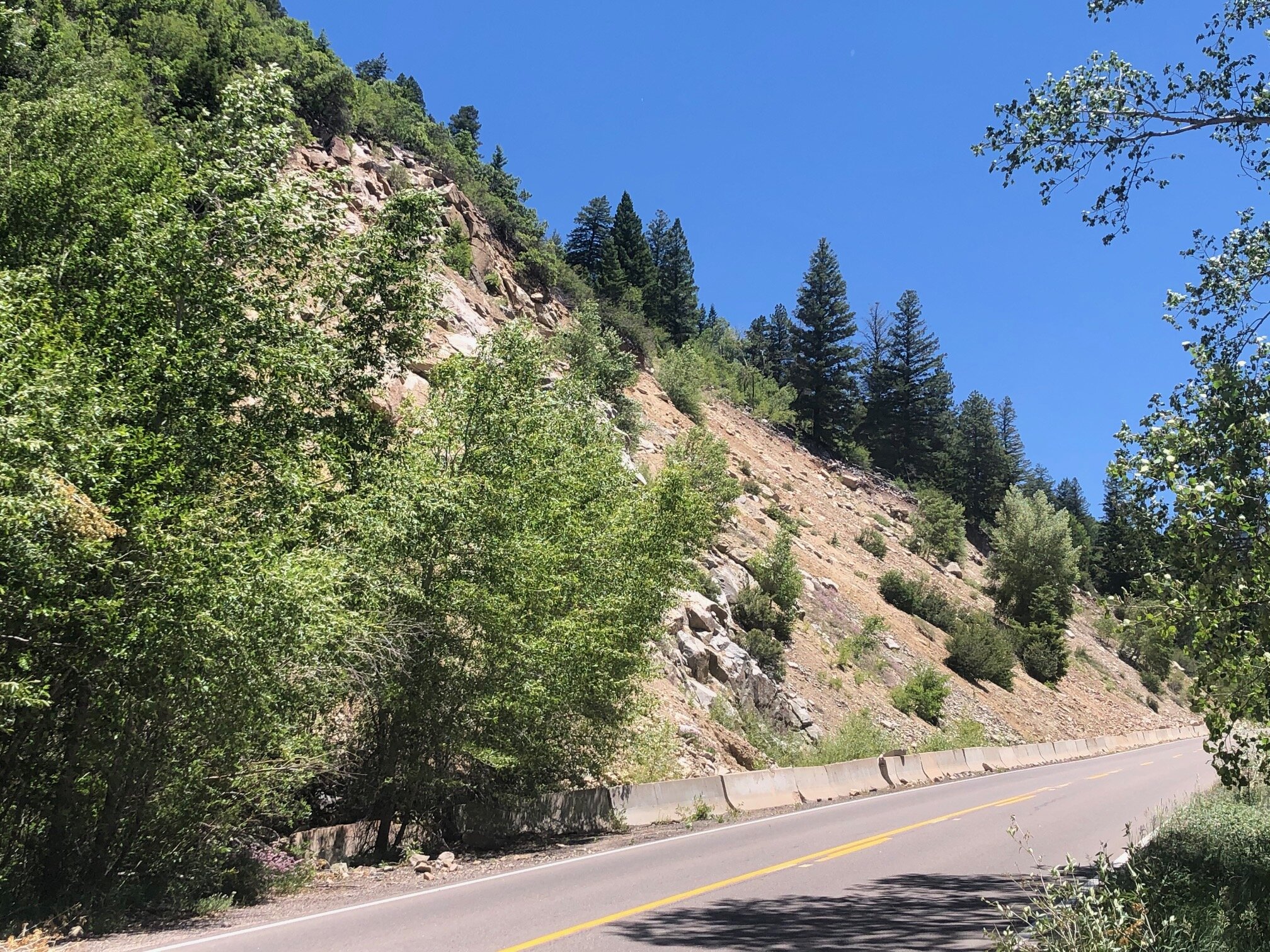
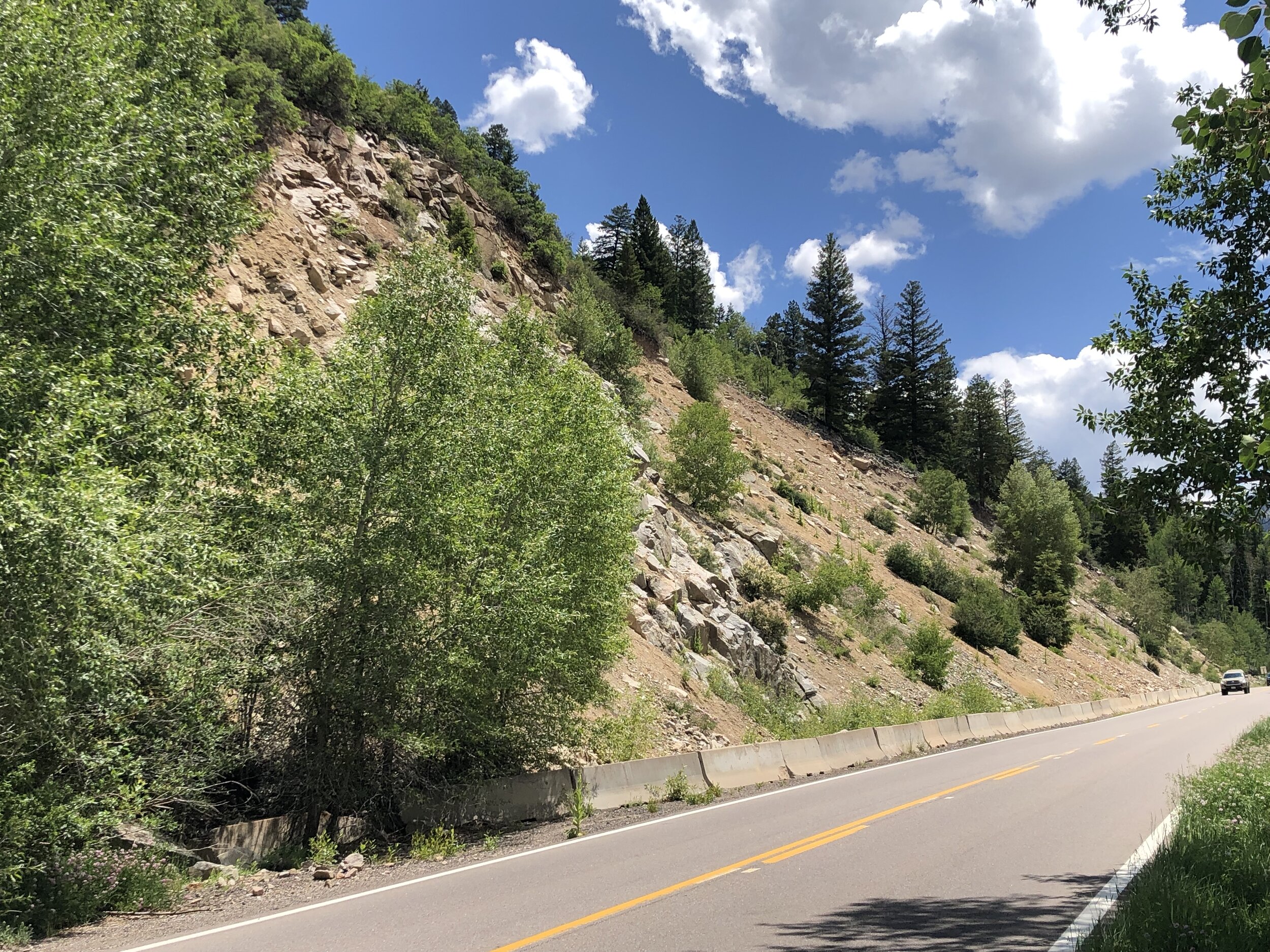
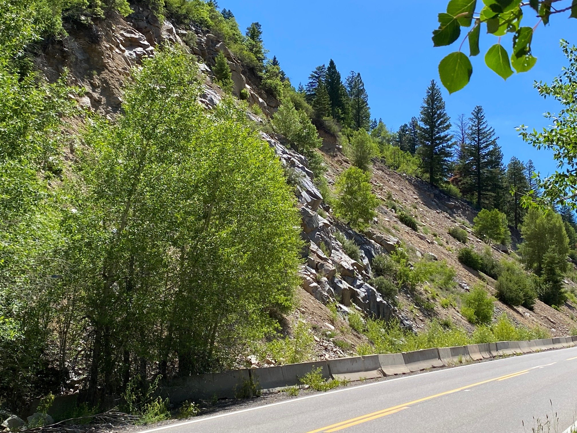
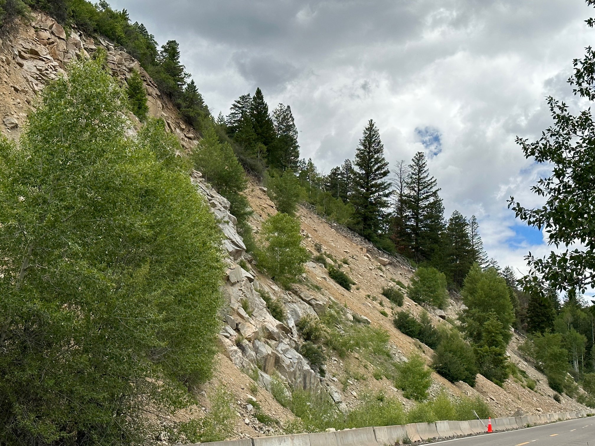
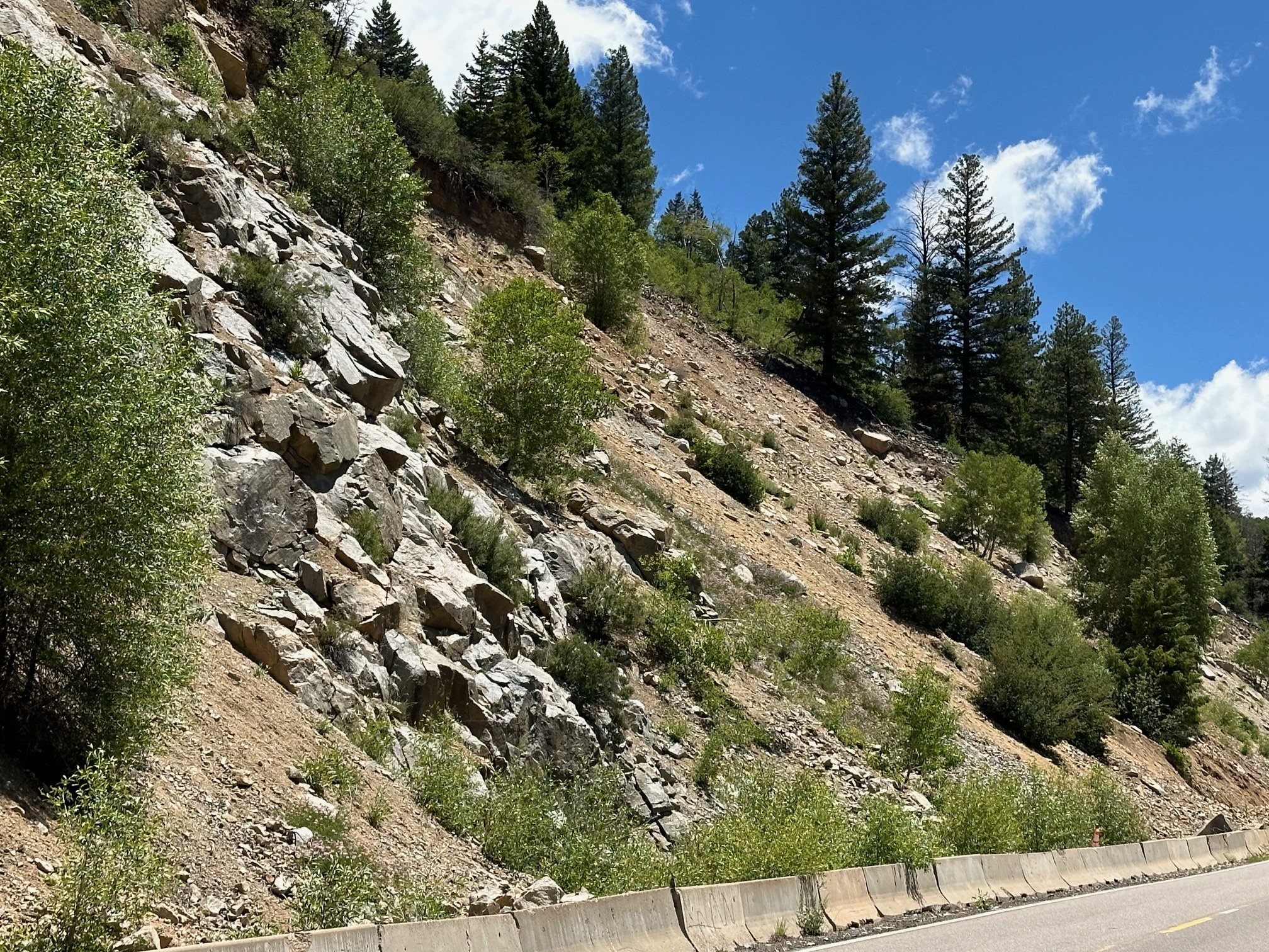
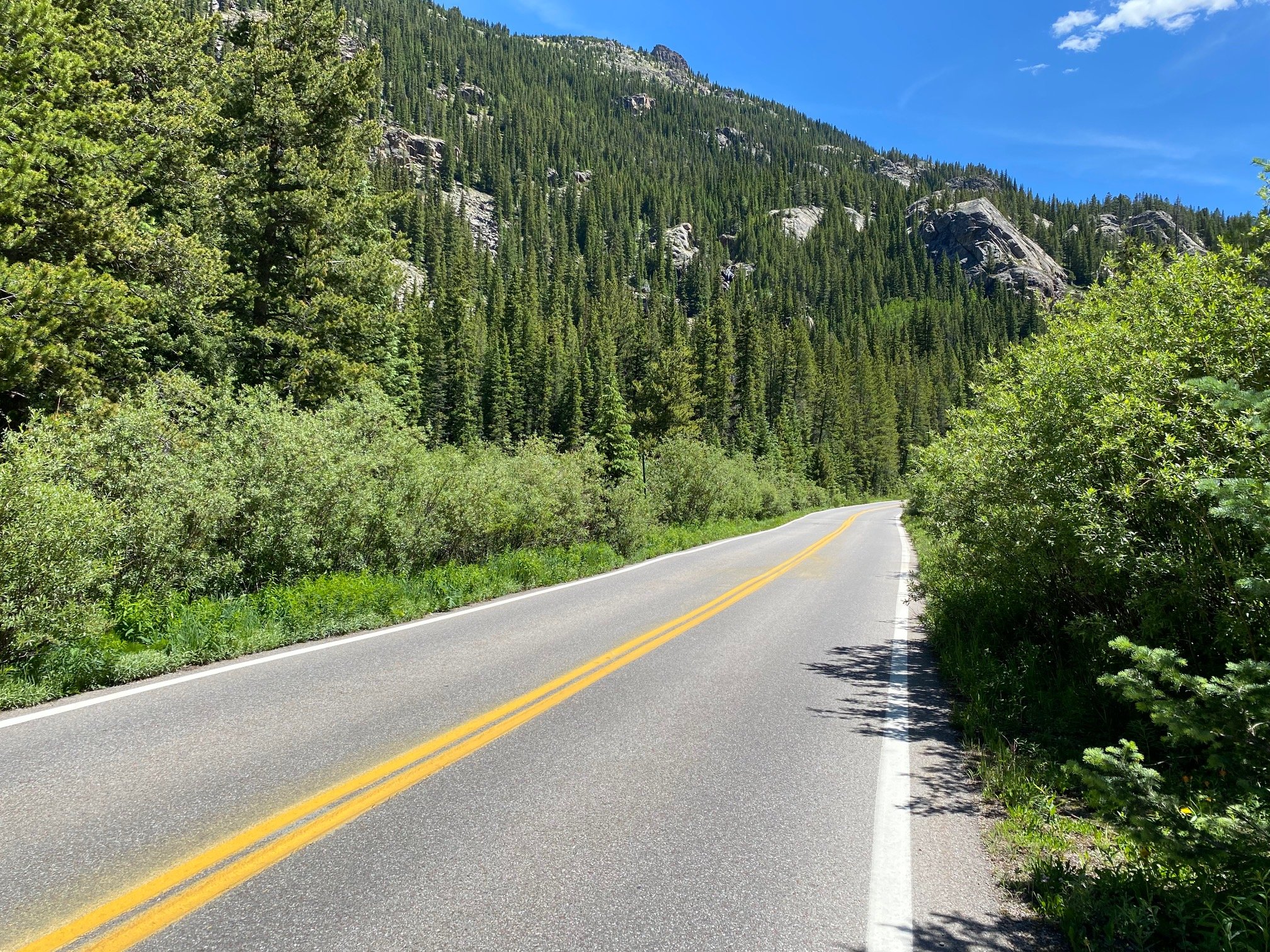
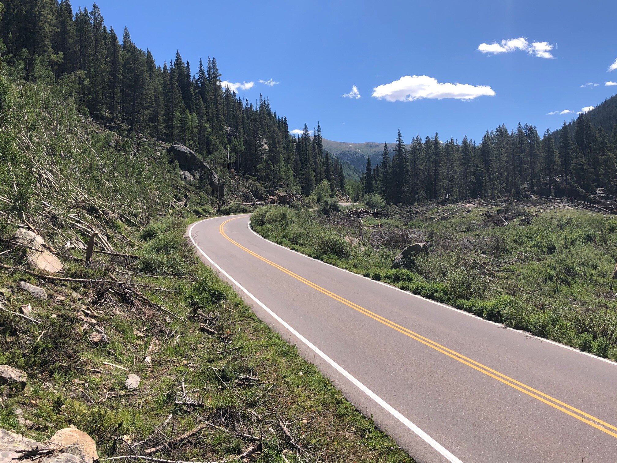
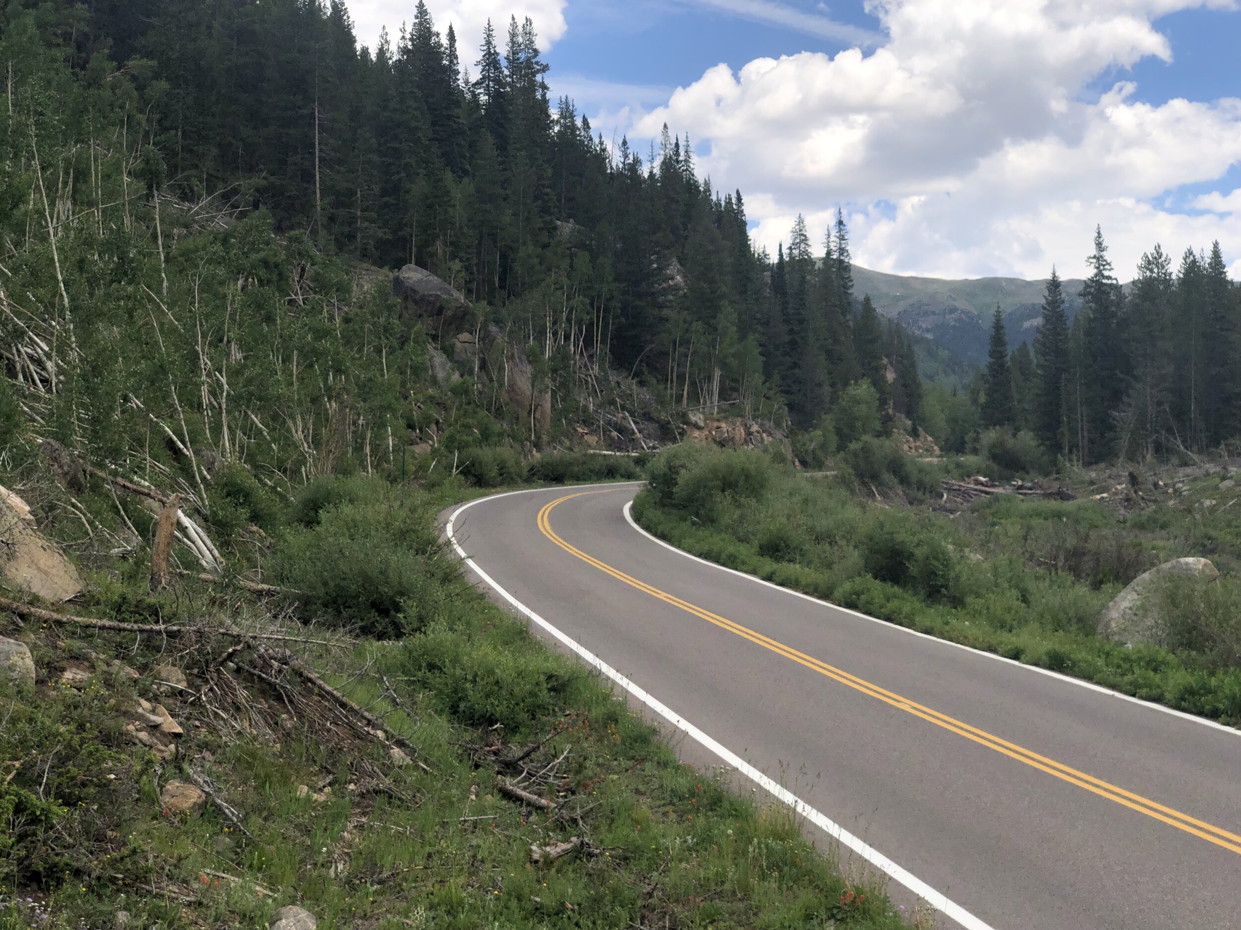
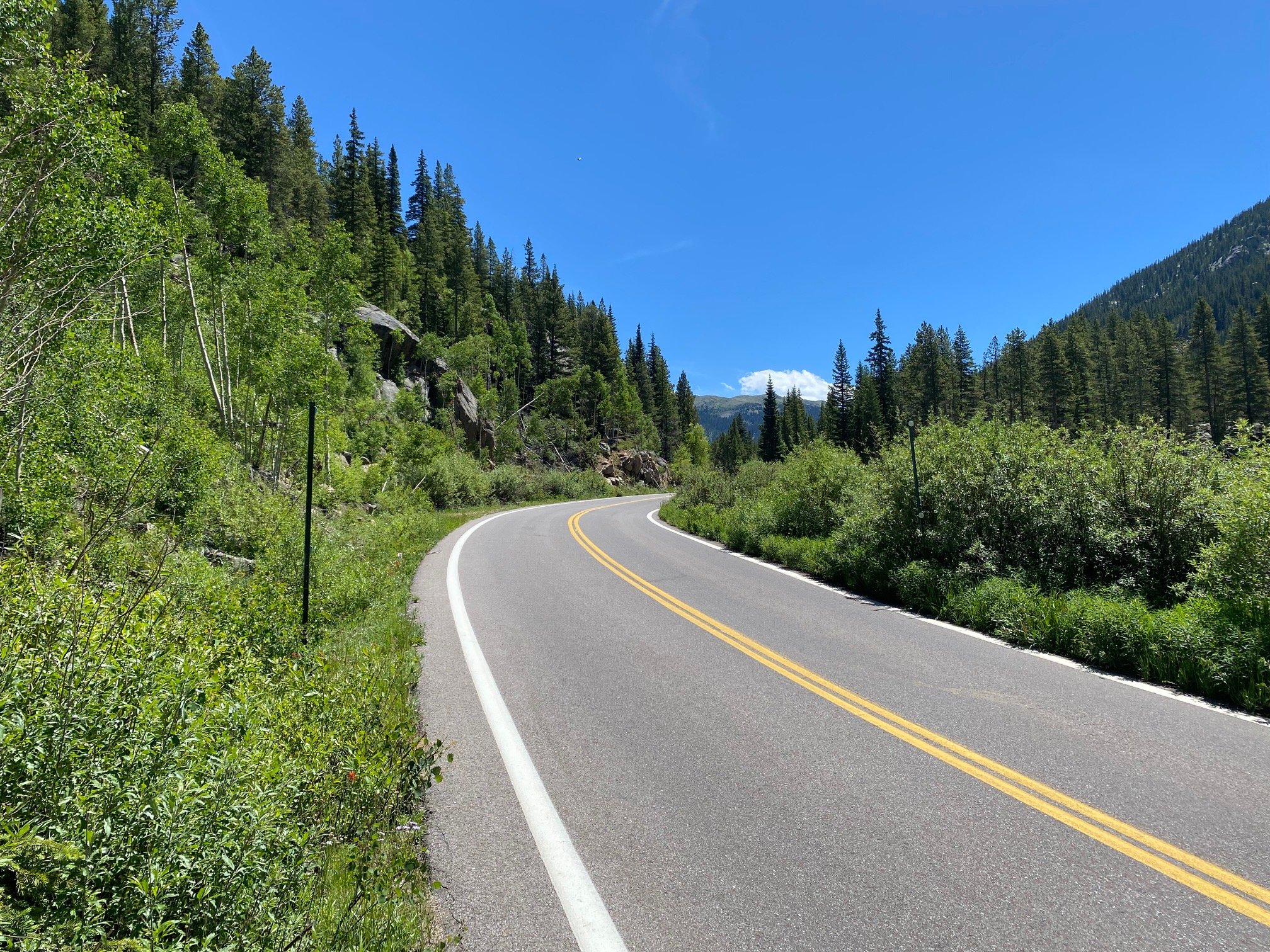
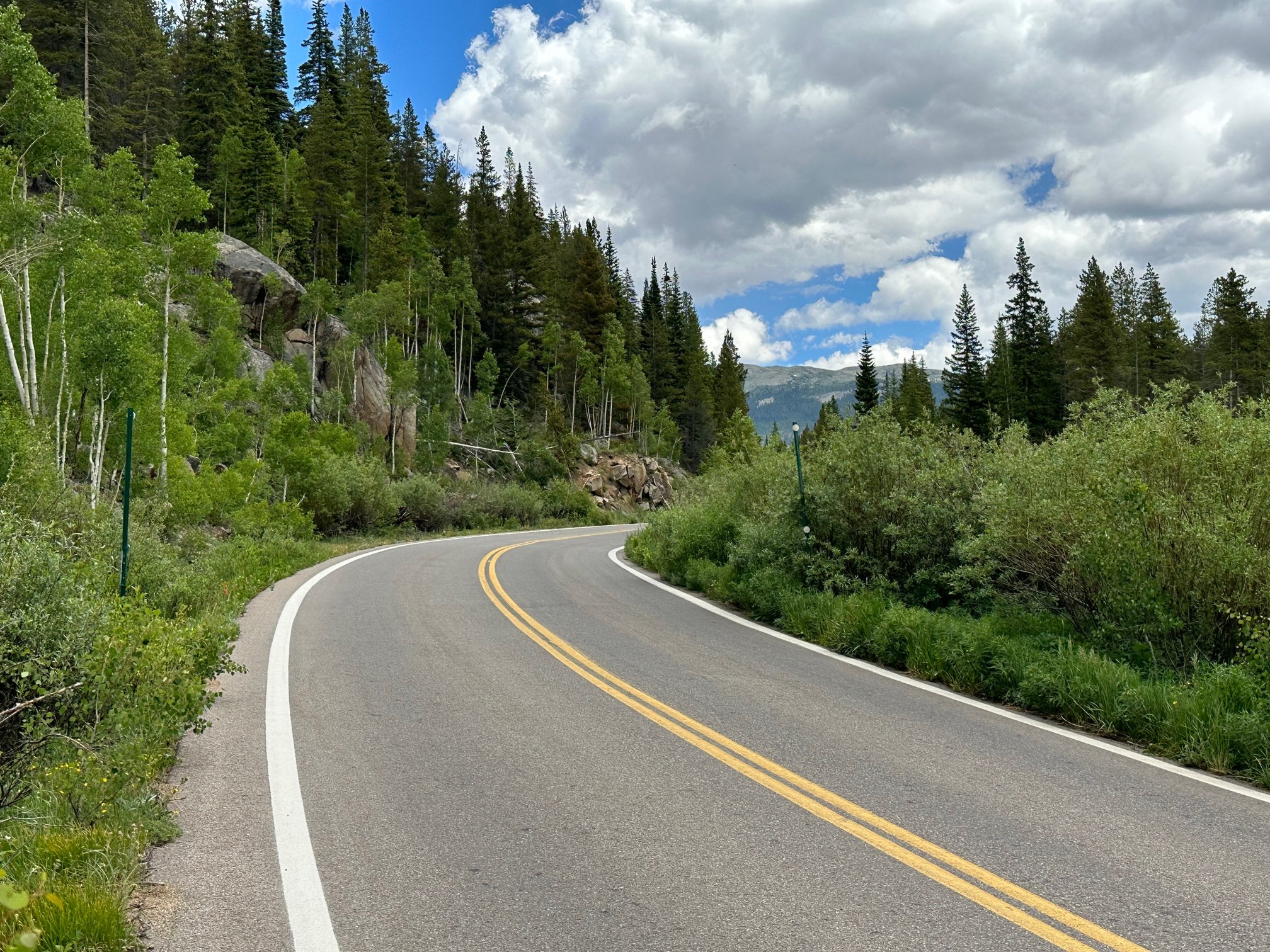
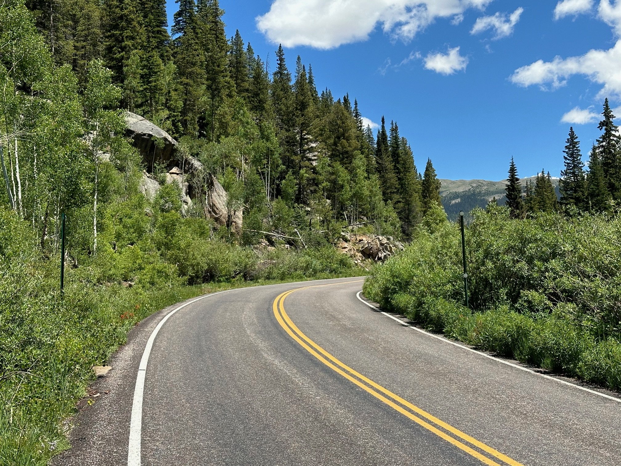
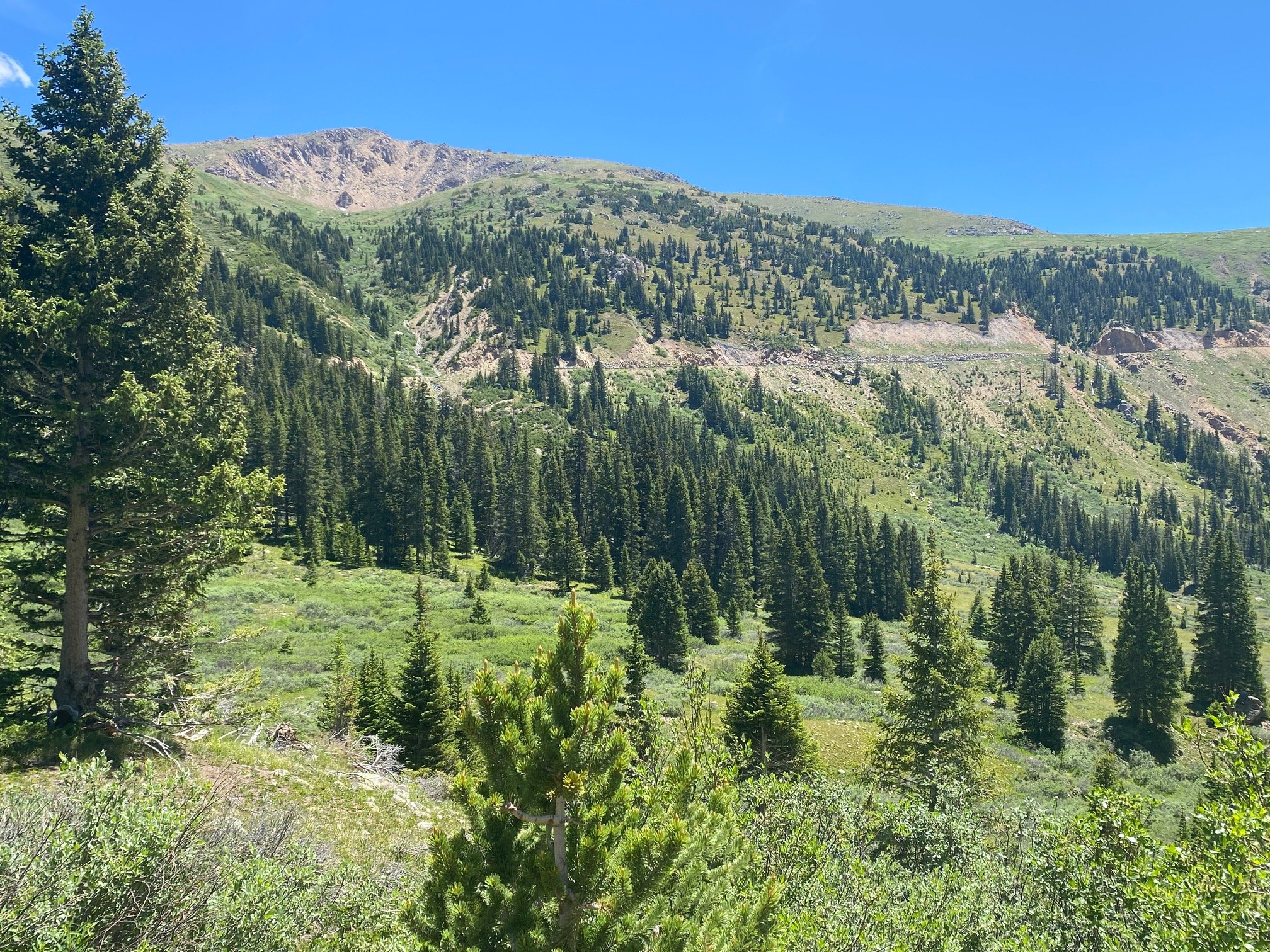
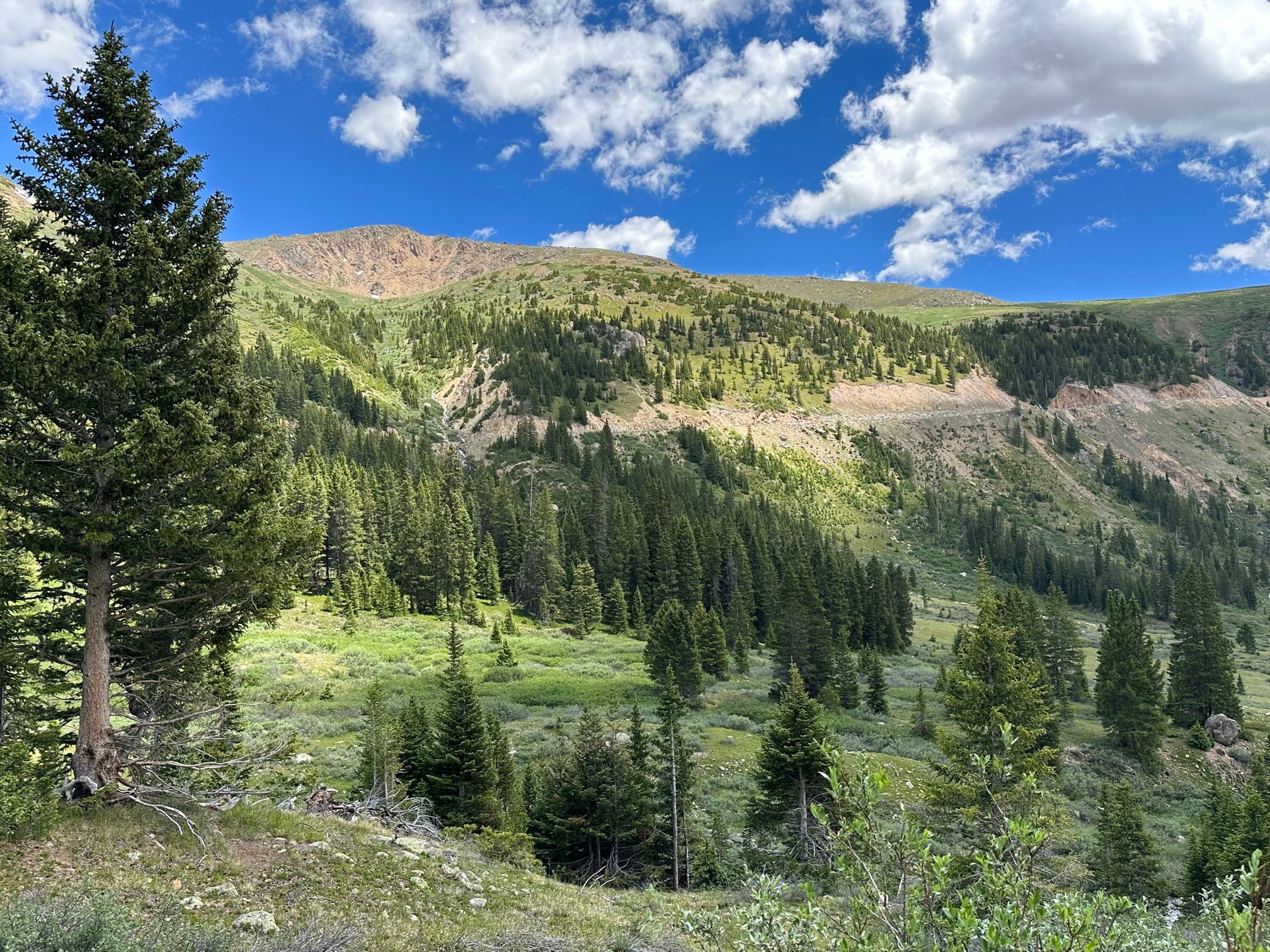
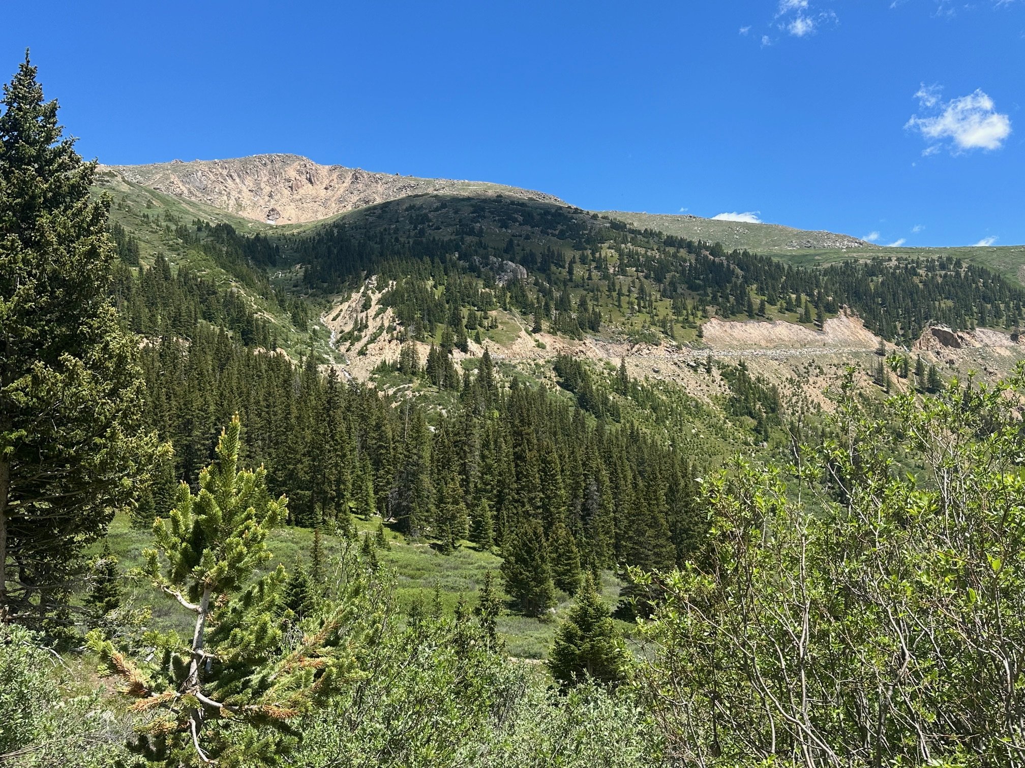
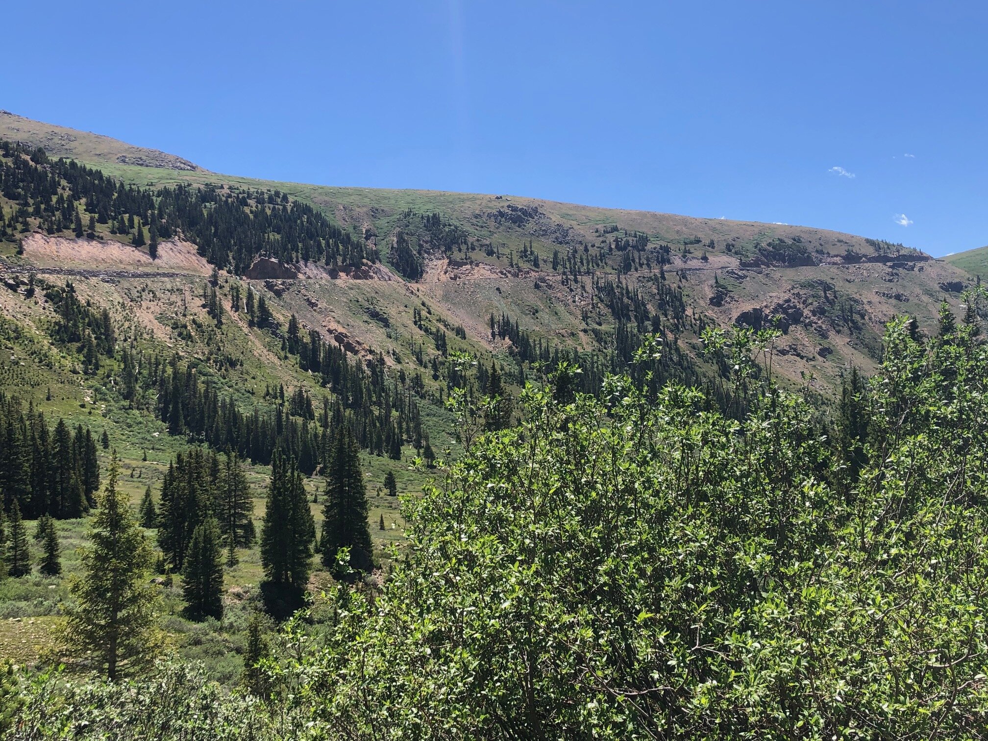
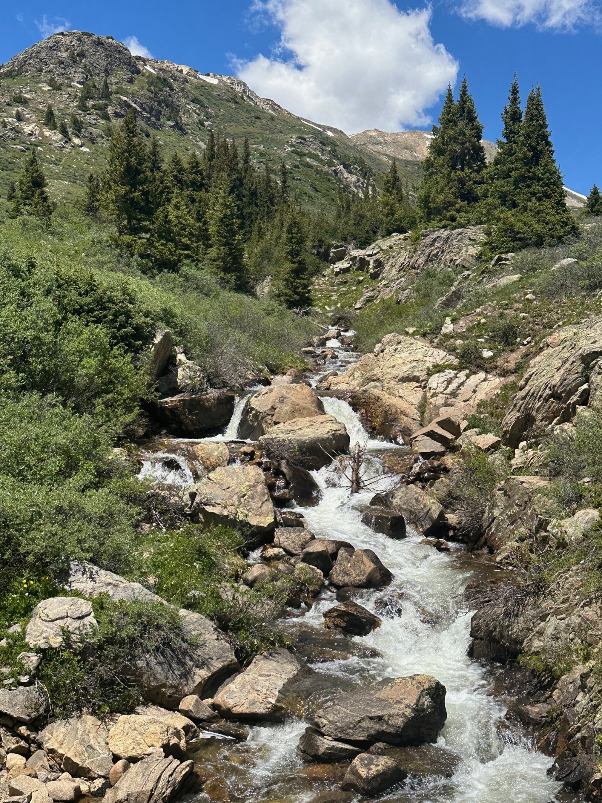
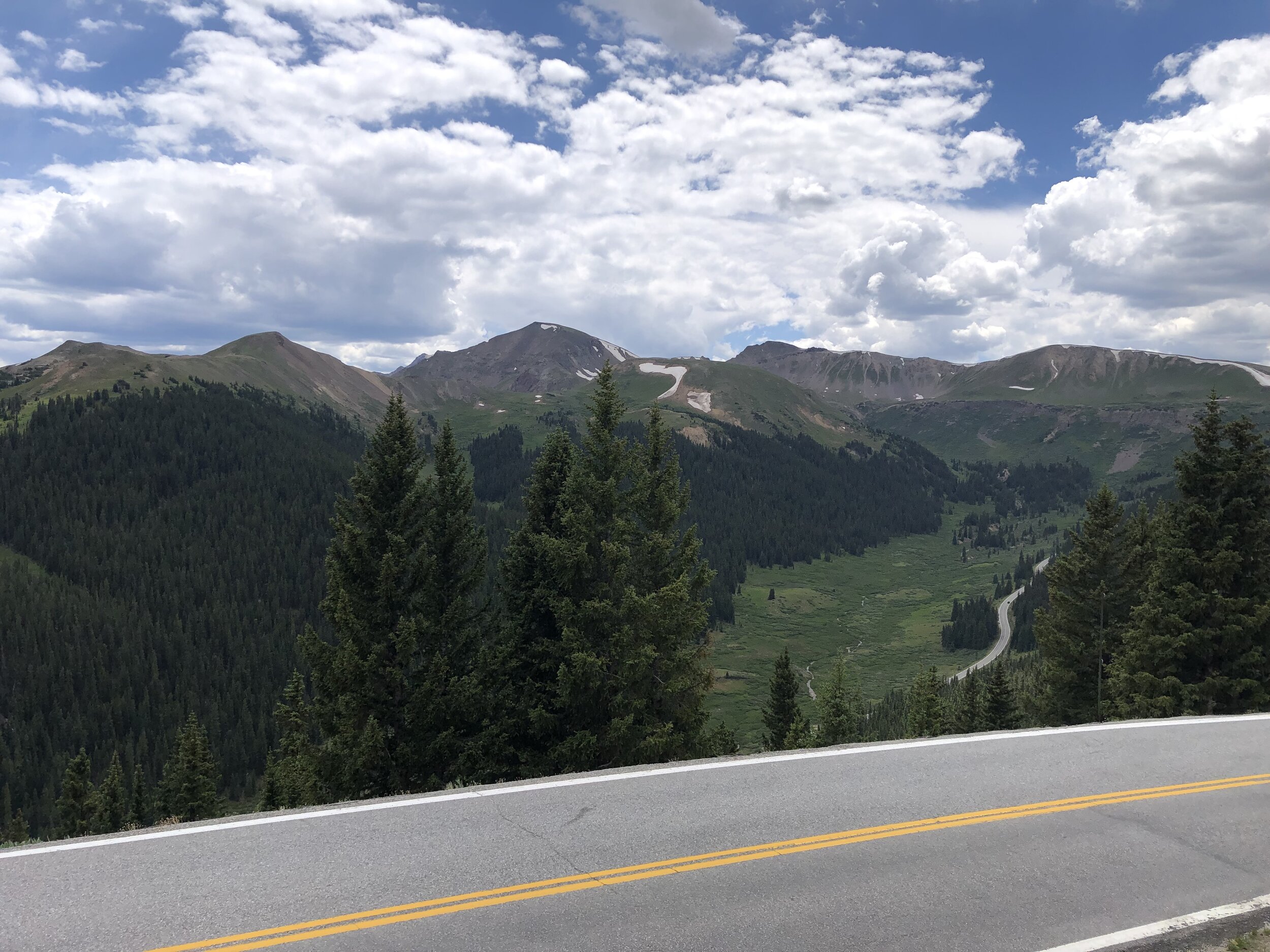
4. Roadside vegetation & waterfall
From pullout on right side of road between MM 52-53, just after tight curve and before “35mph” sign, 50 yards up right side of road from pullout.
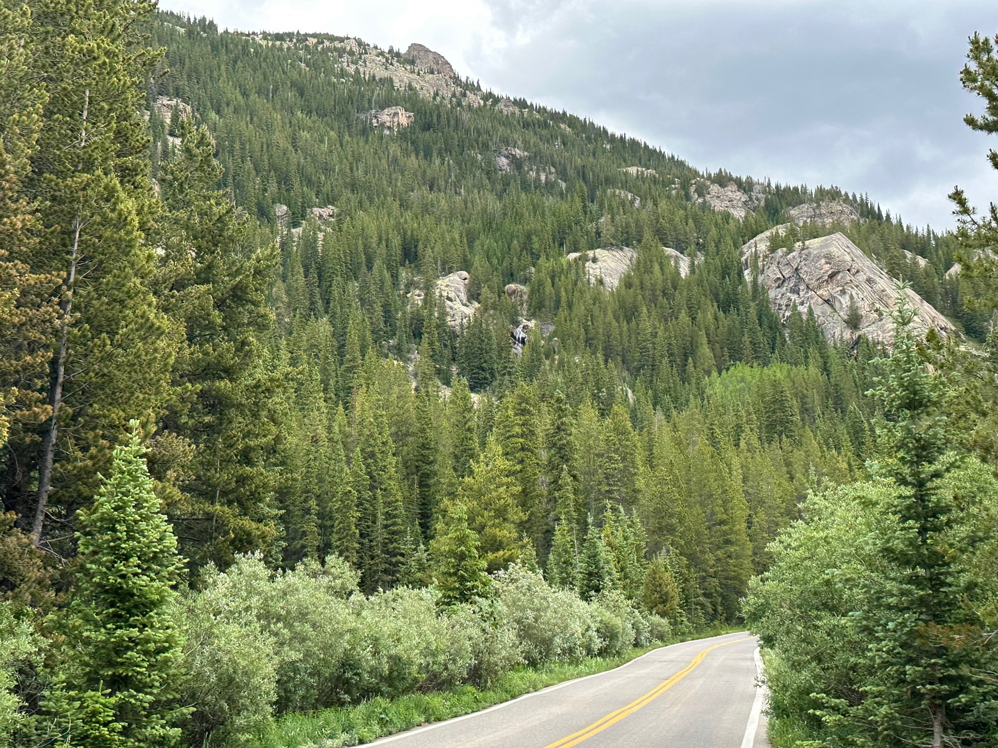

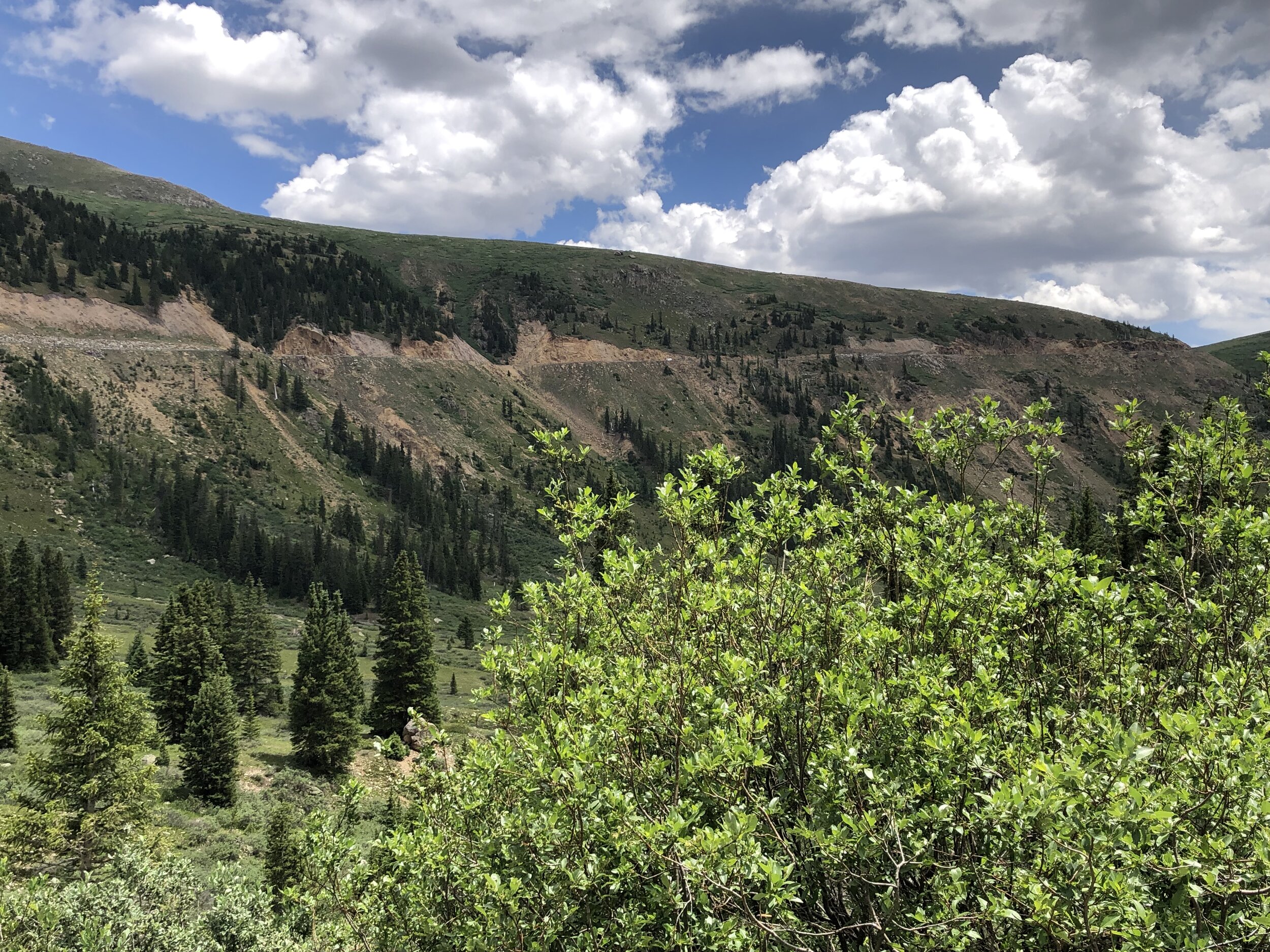
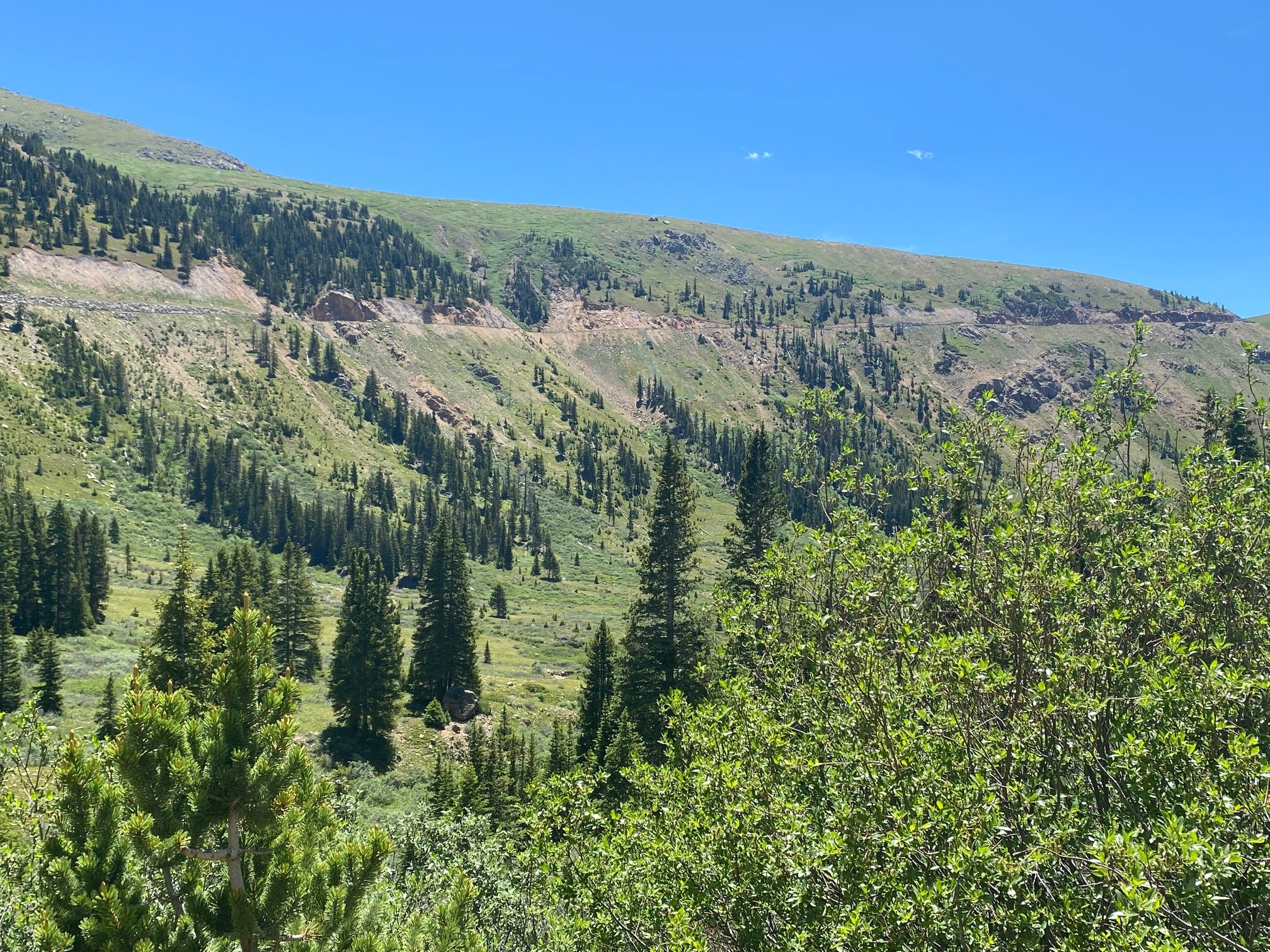
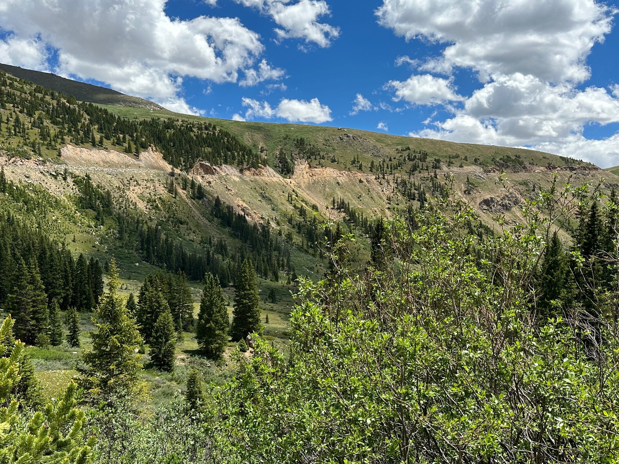
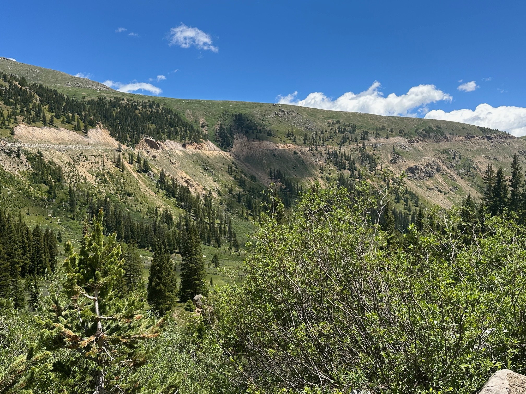
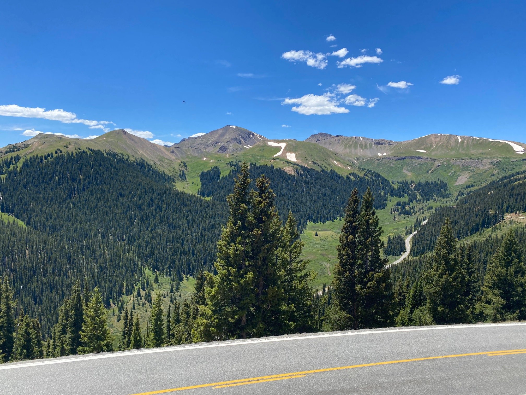
5. Green Mountain avalanche
Two photos, a & b, one of the avalanche path and the other of the debris on both sides of the road. From the pullout on right just before the avalanche, cross to other (north) side of road 25 yards up and stand on prominent rock


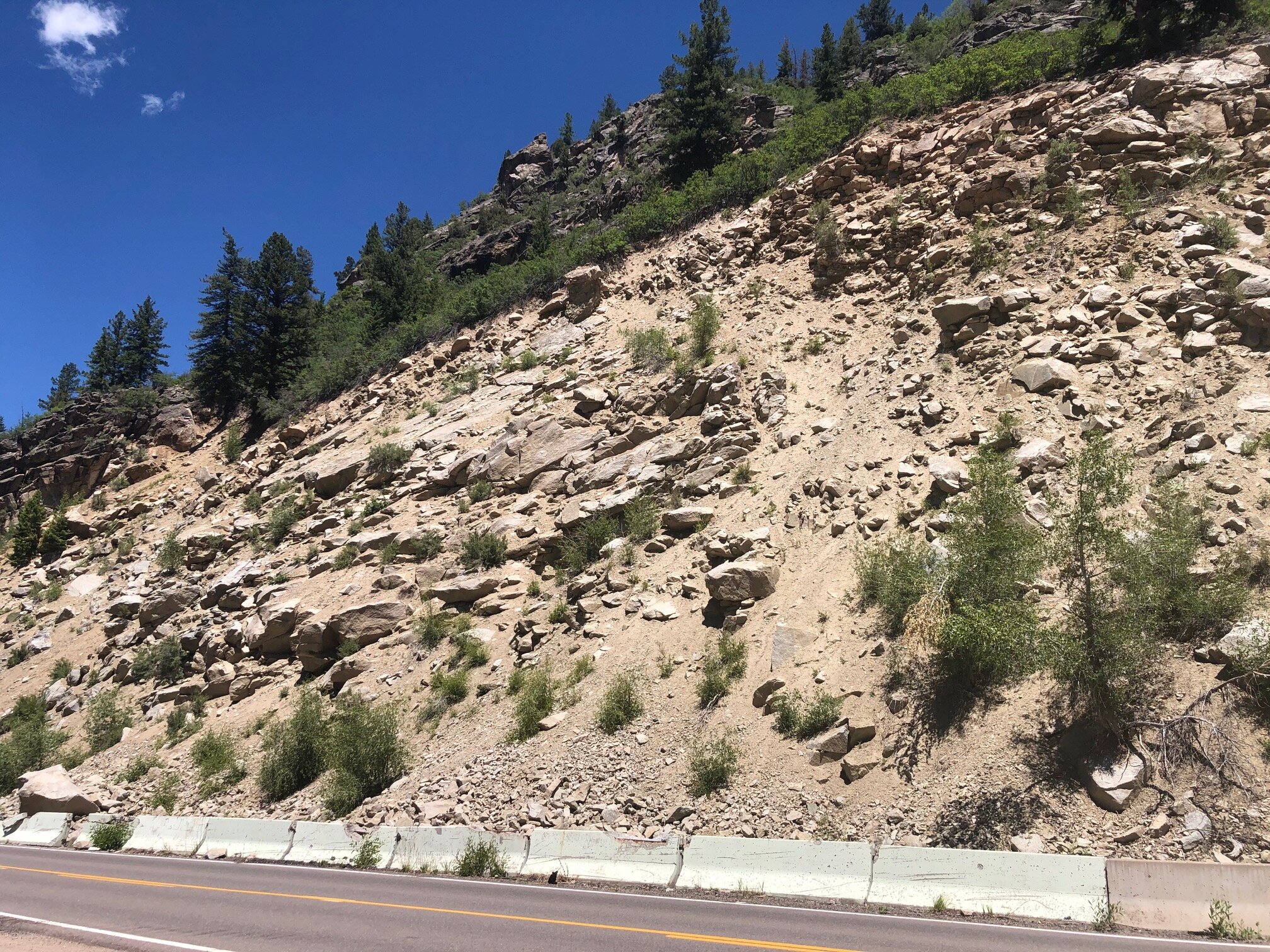
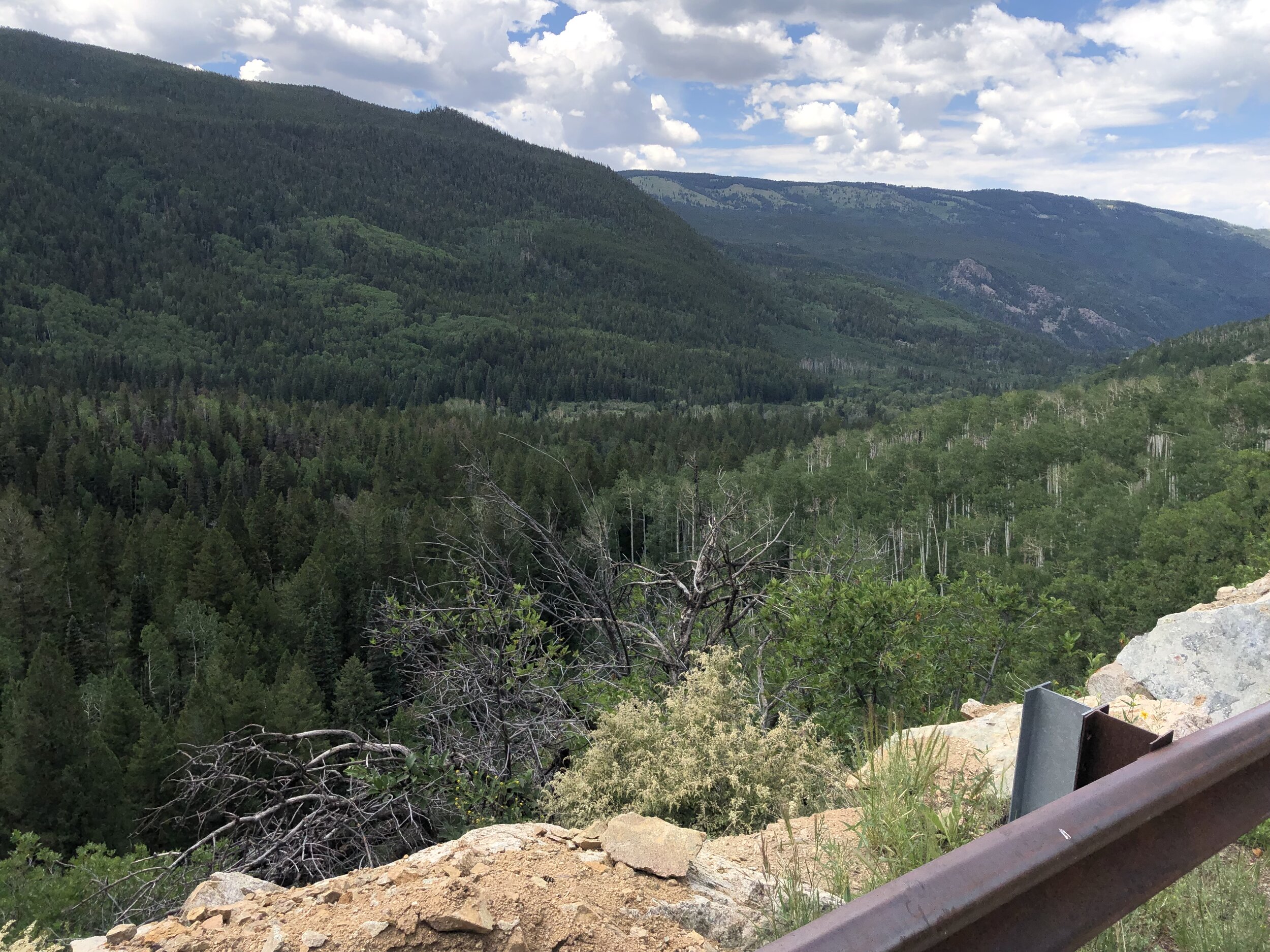
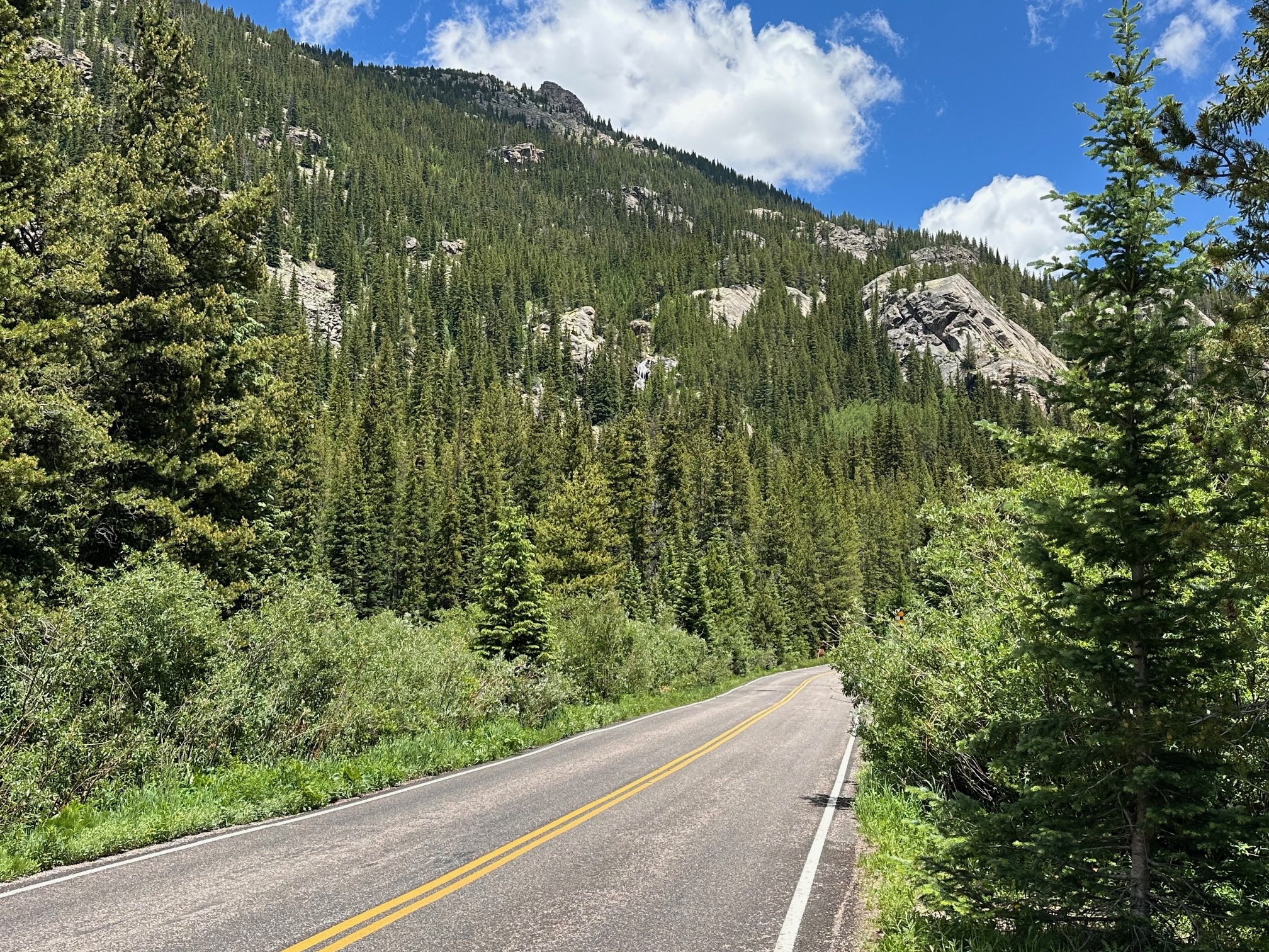
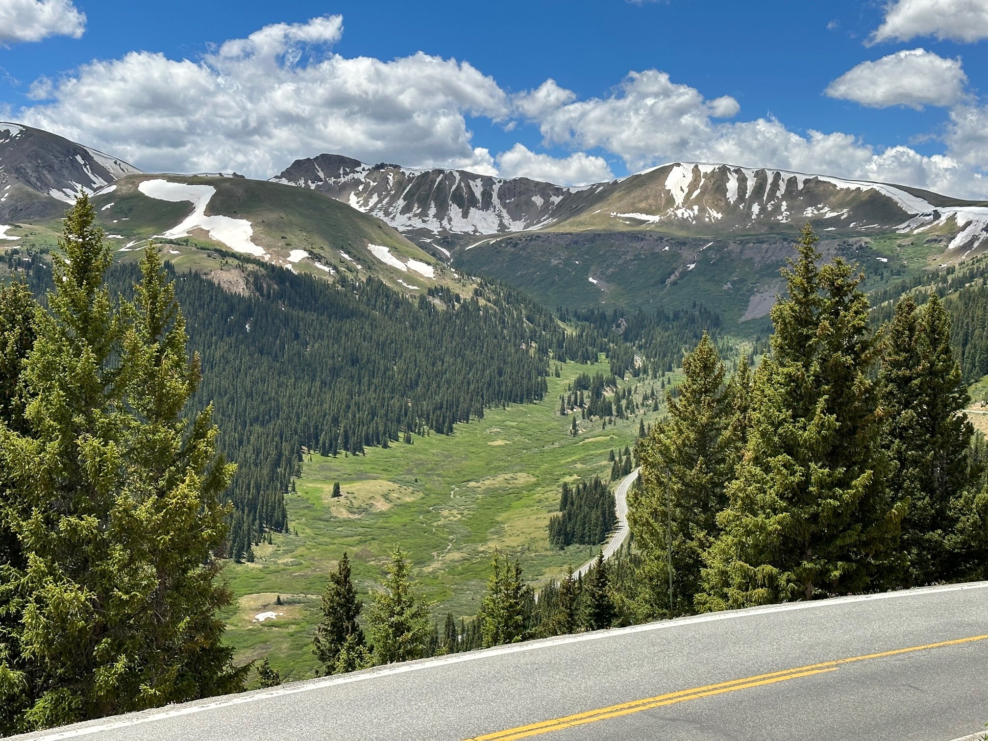
6. Lower ghost town avalanche & meander
From large pullout 100 yards before “35mph” sign and before ghost town between MM 56-57.

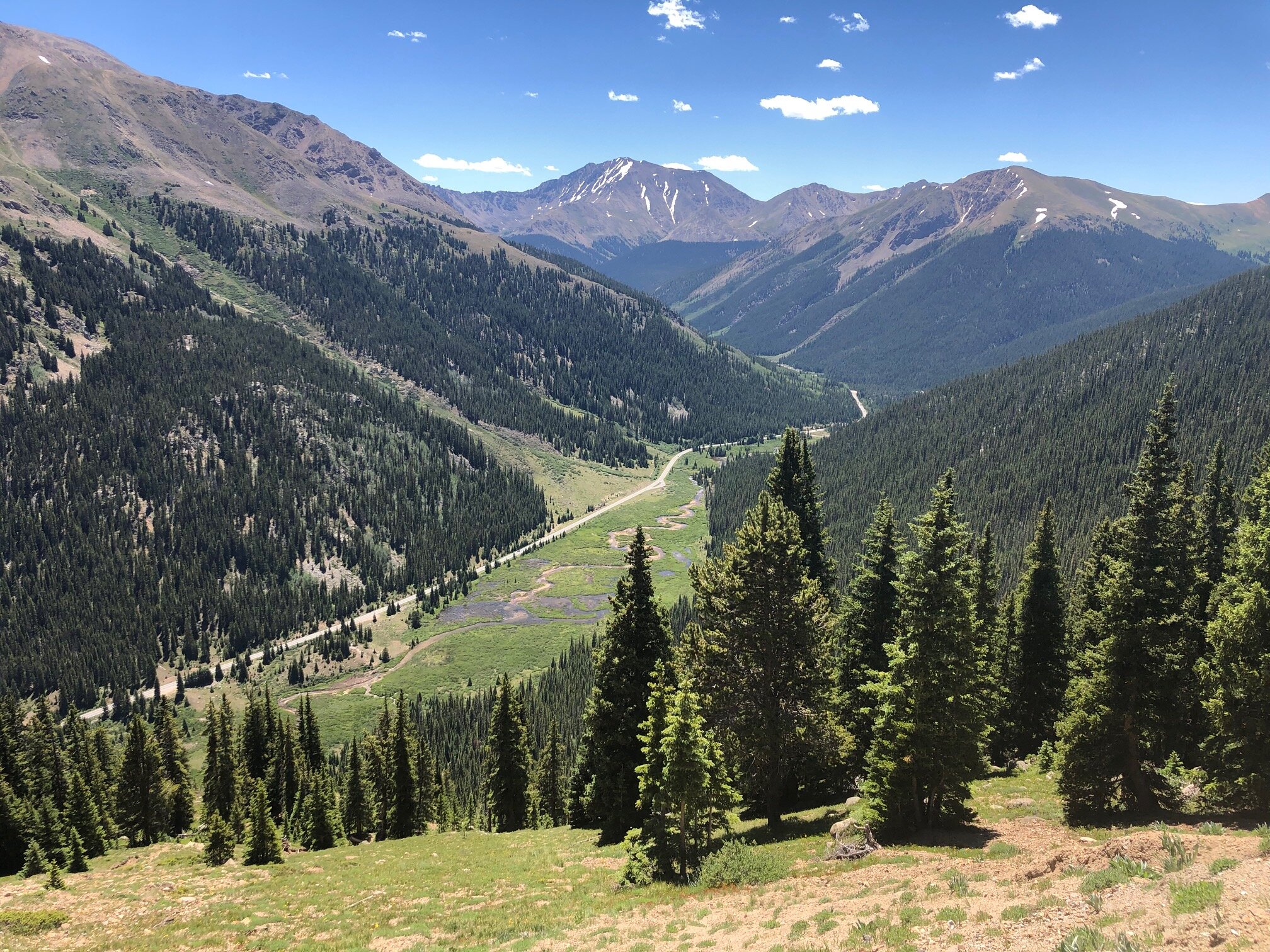
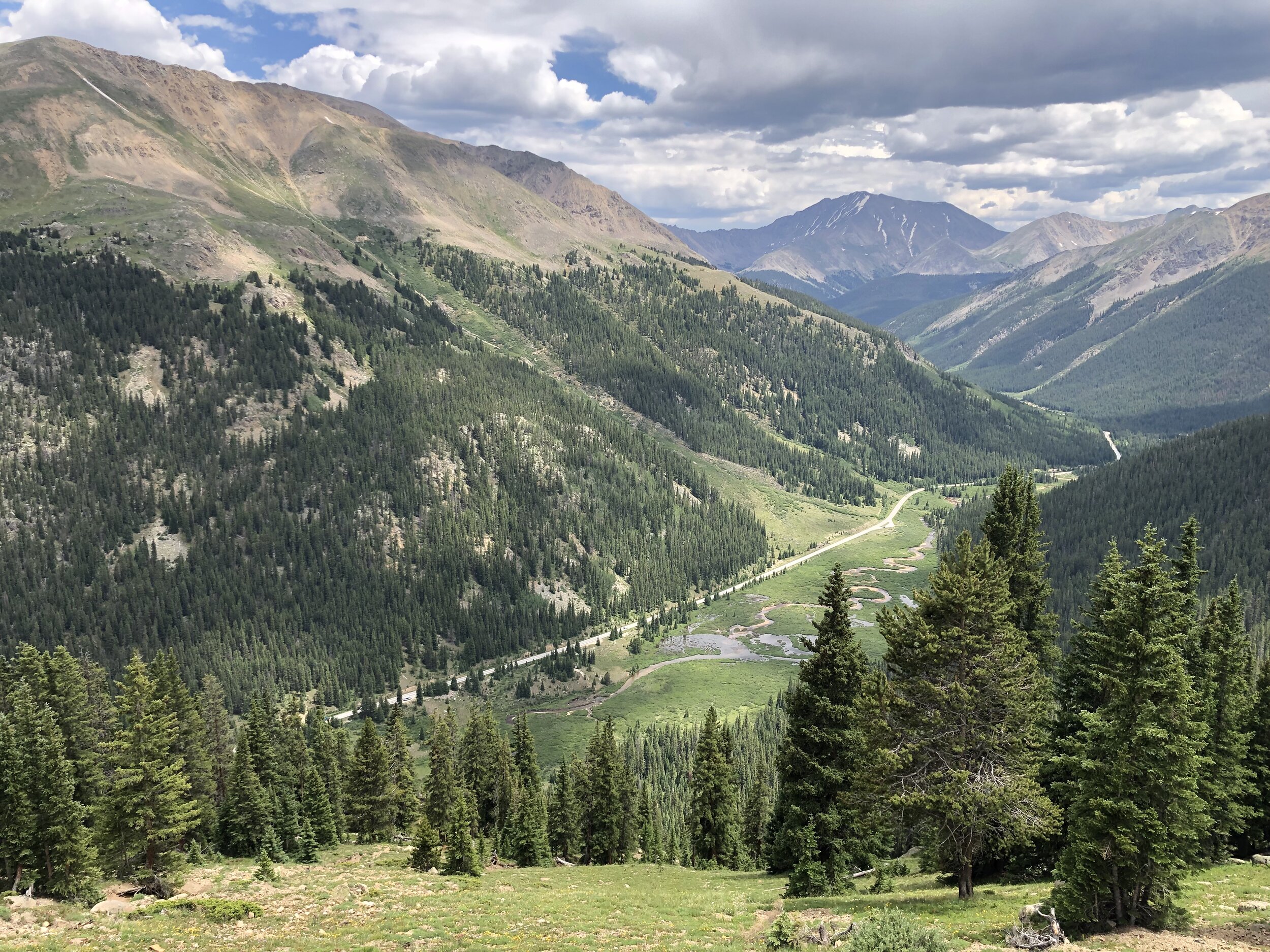
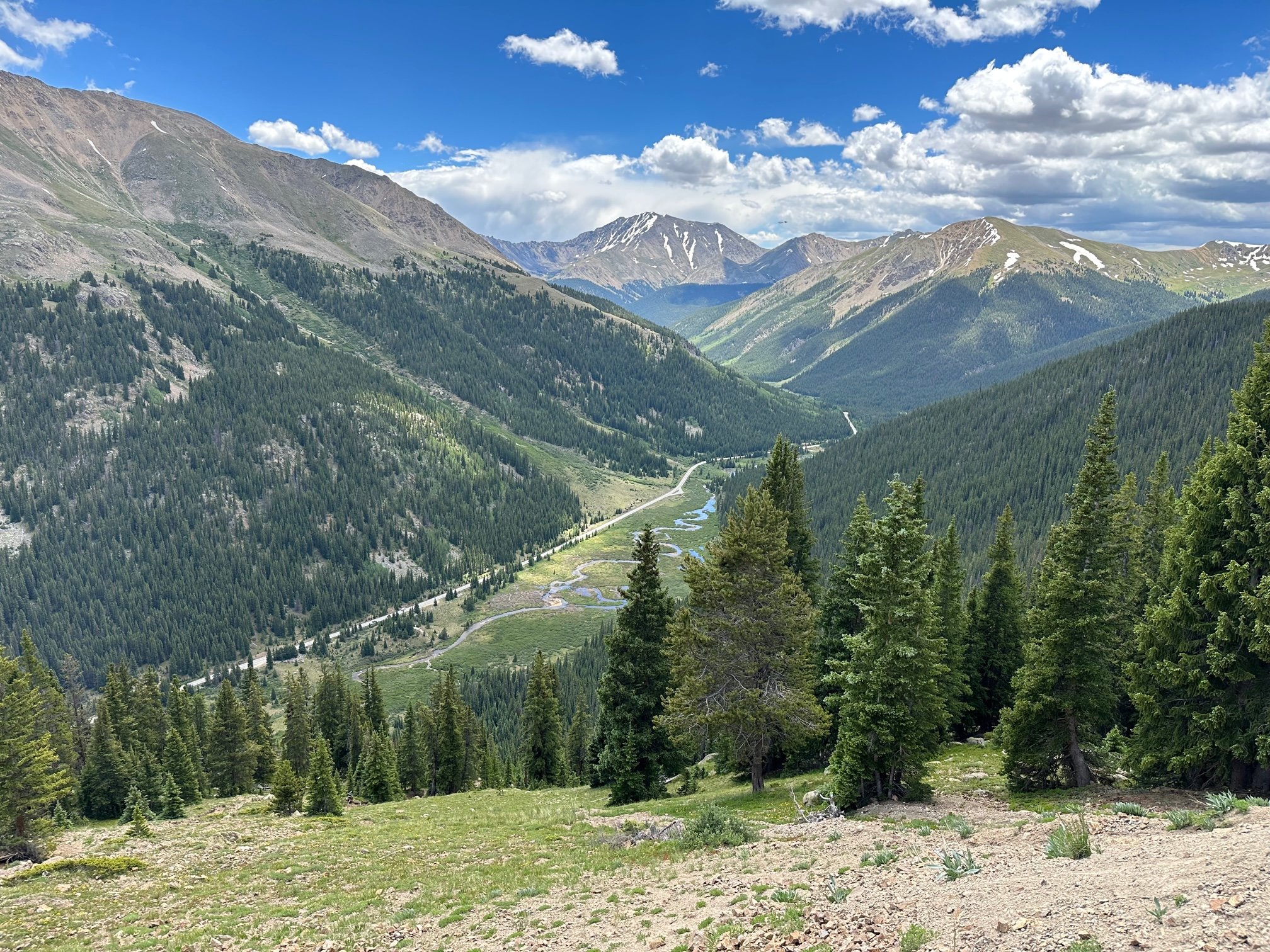
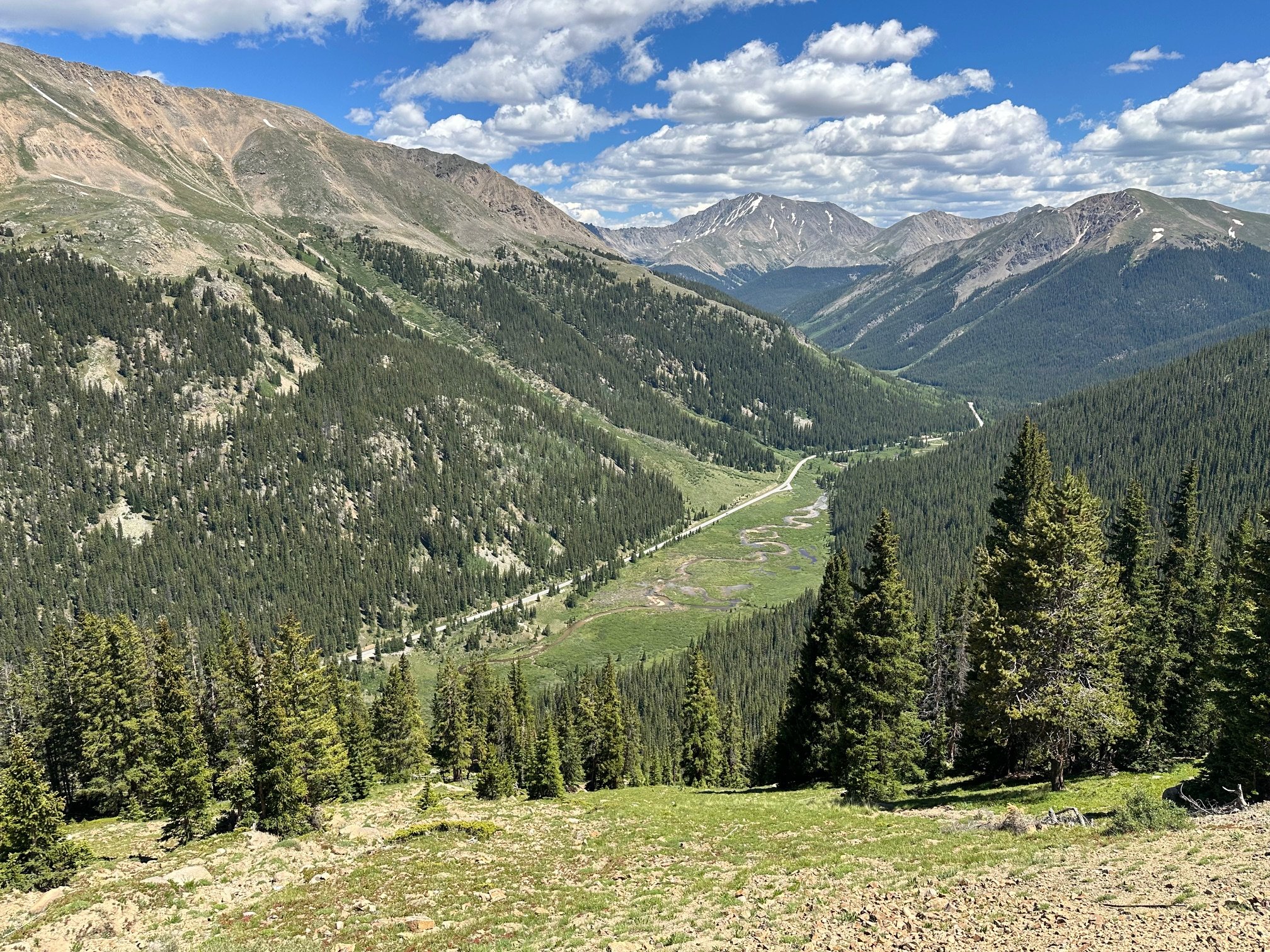
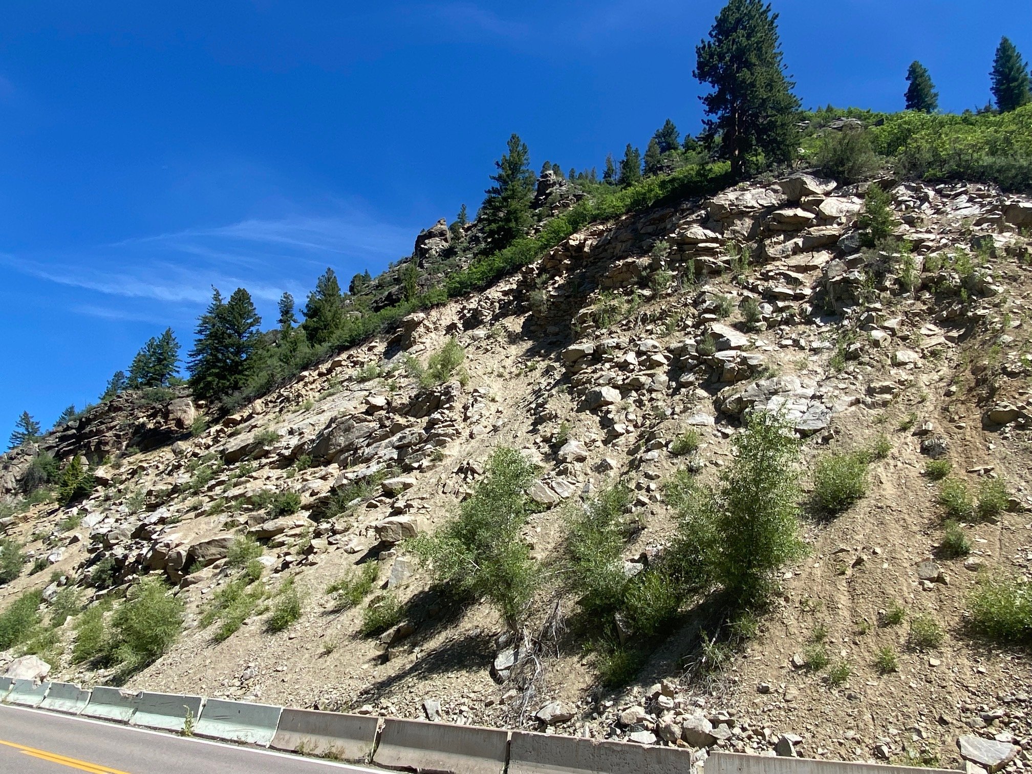
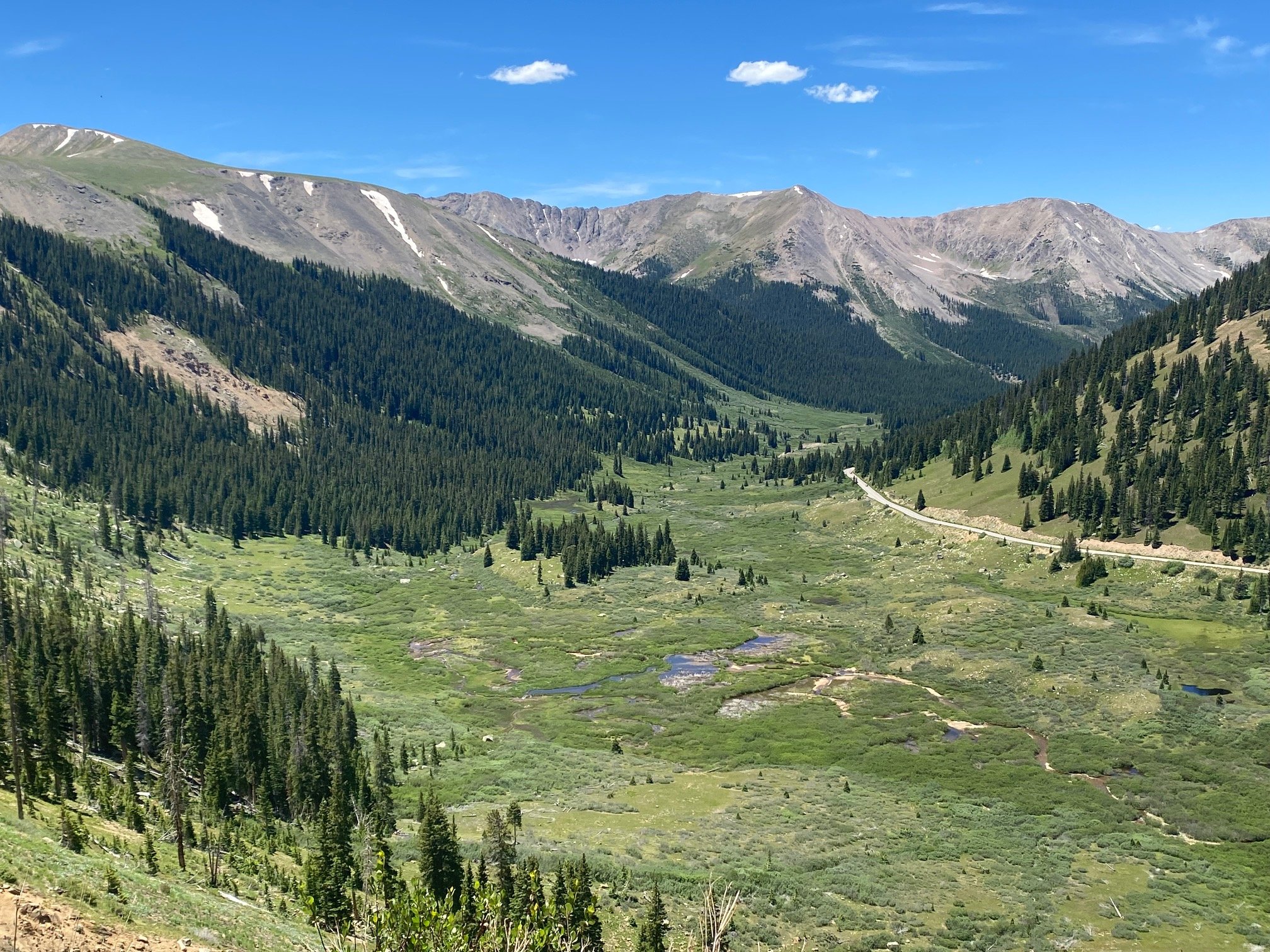
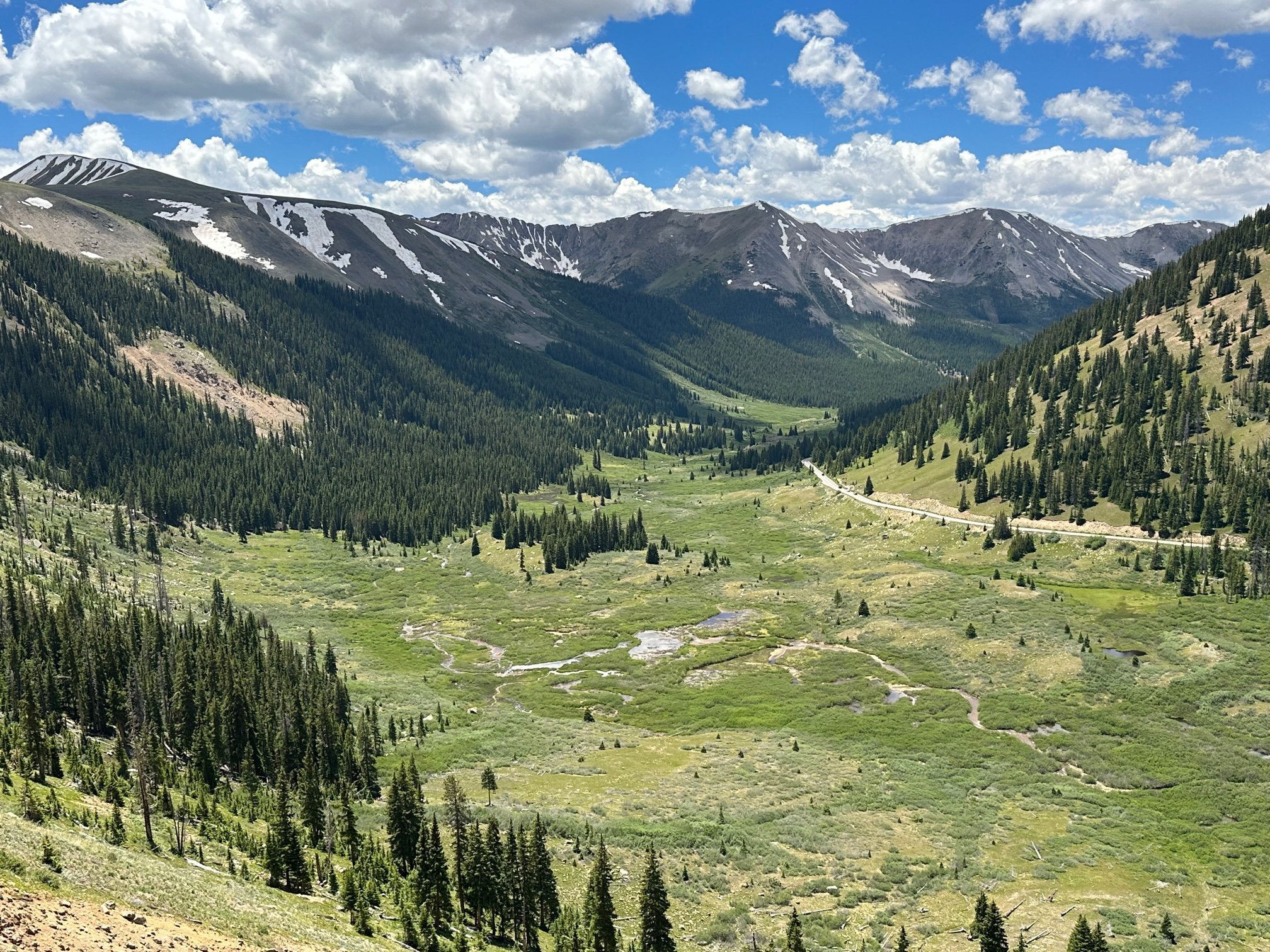
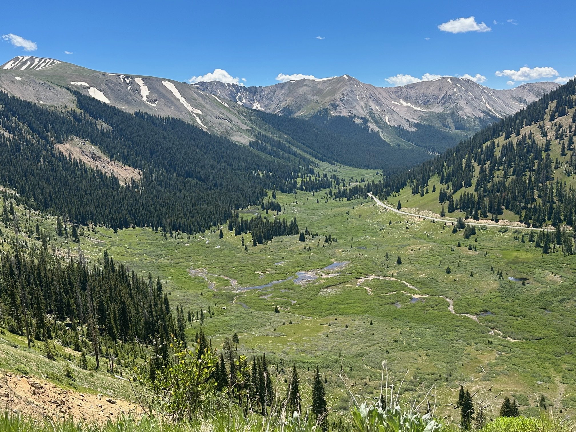
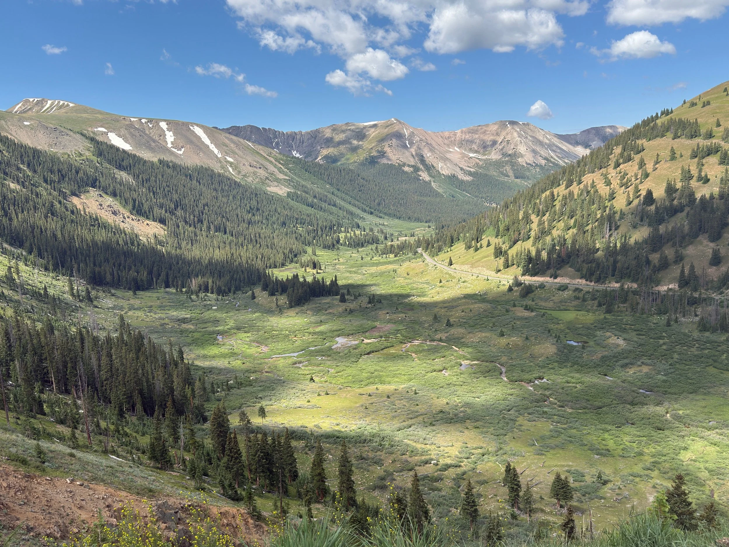
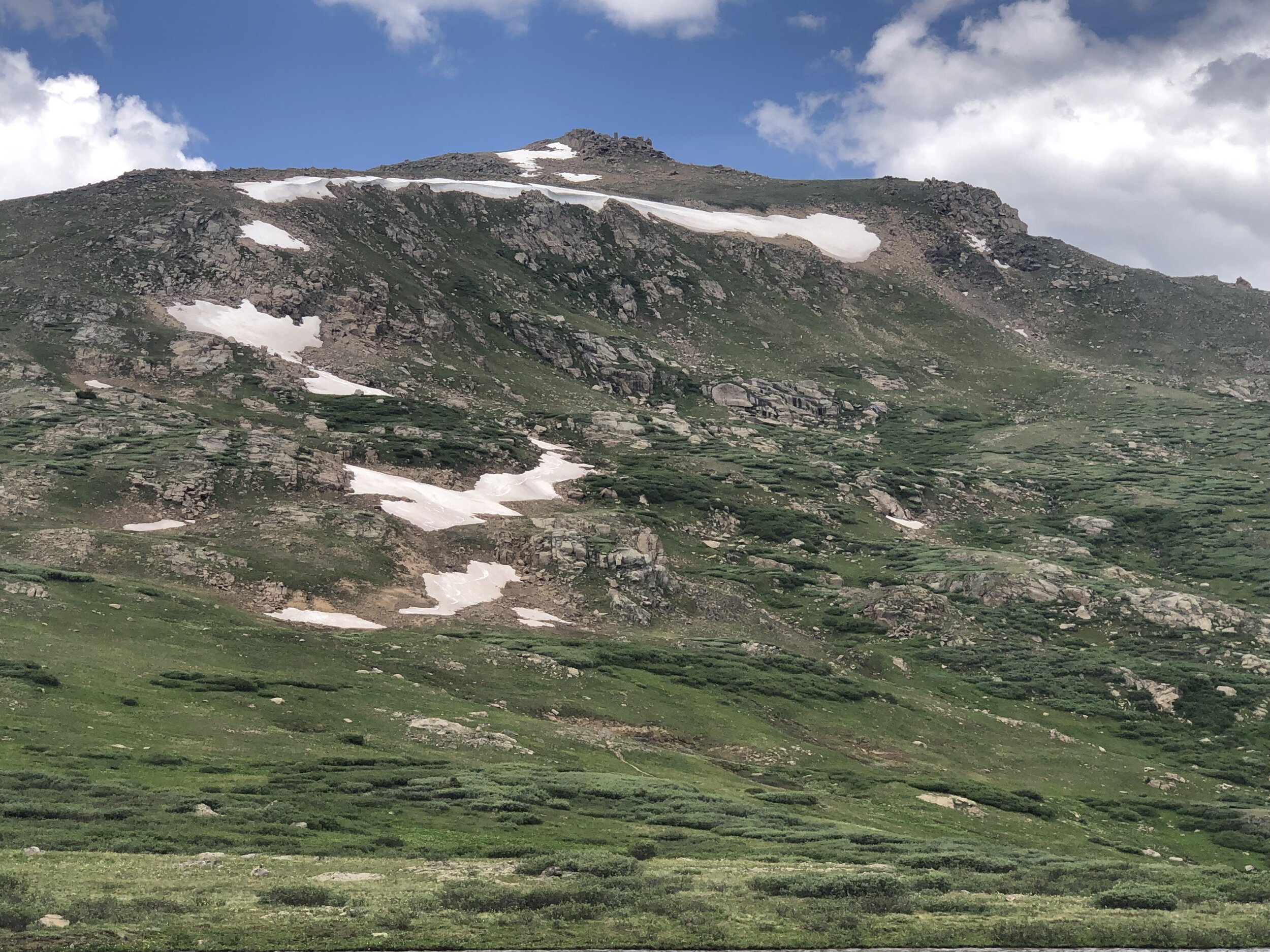
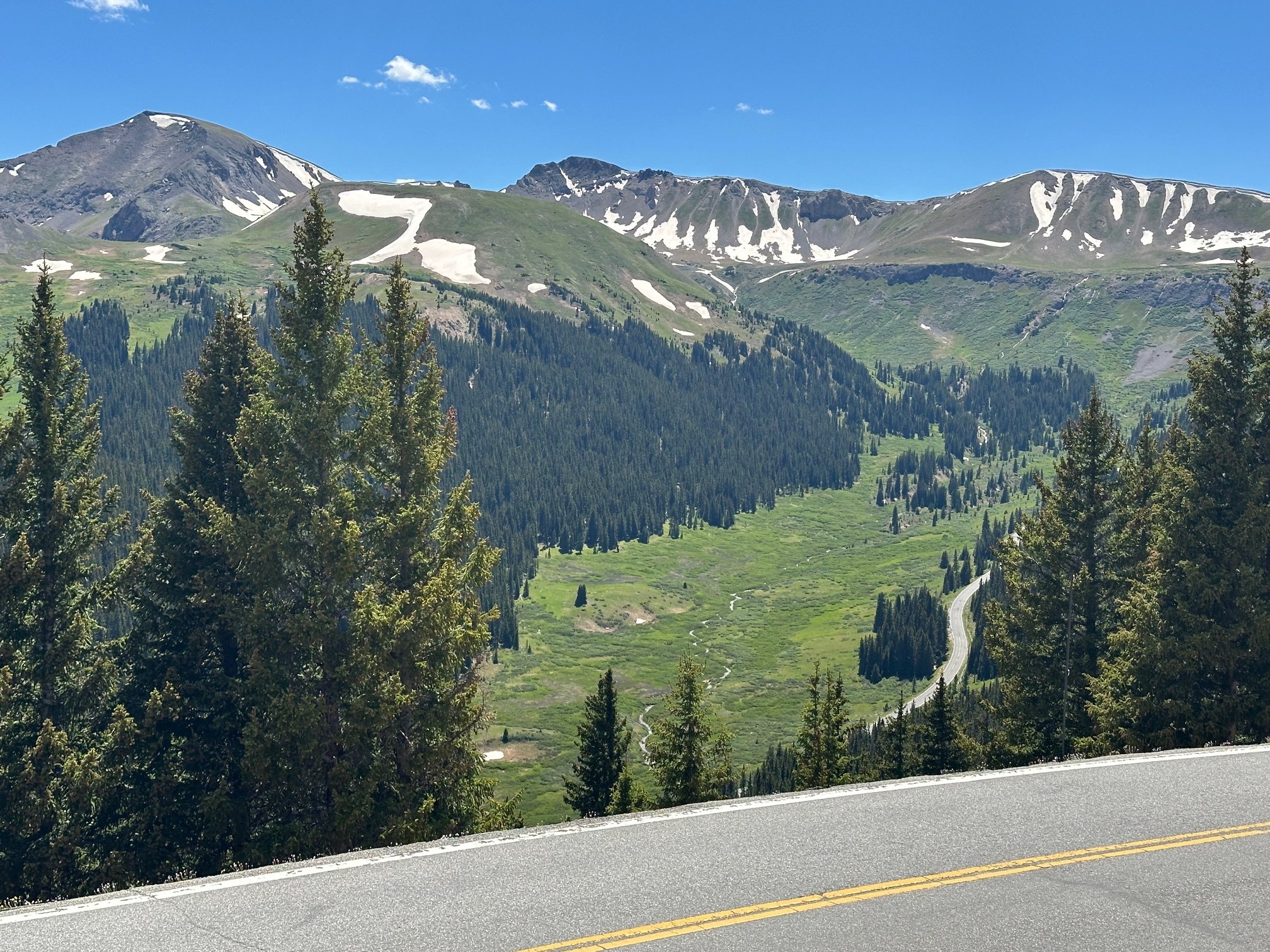
7. Top Cut
Two photos, a & b, from Alpine Garden, moving up in elevation (northwest-southeast) along the Top Cut.


8. Roaring Fork River
From the upper Lost Man trailhead.

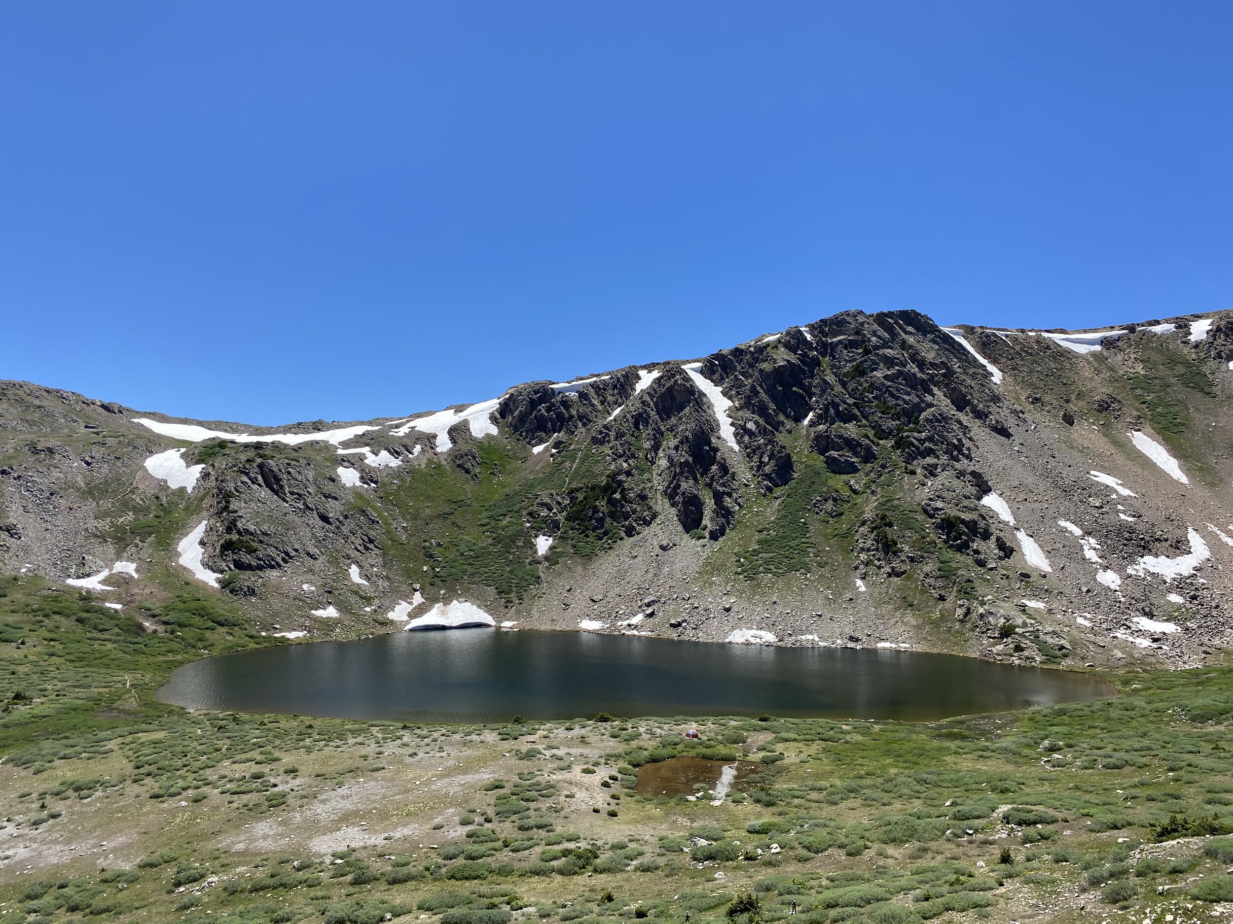
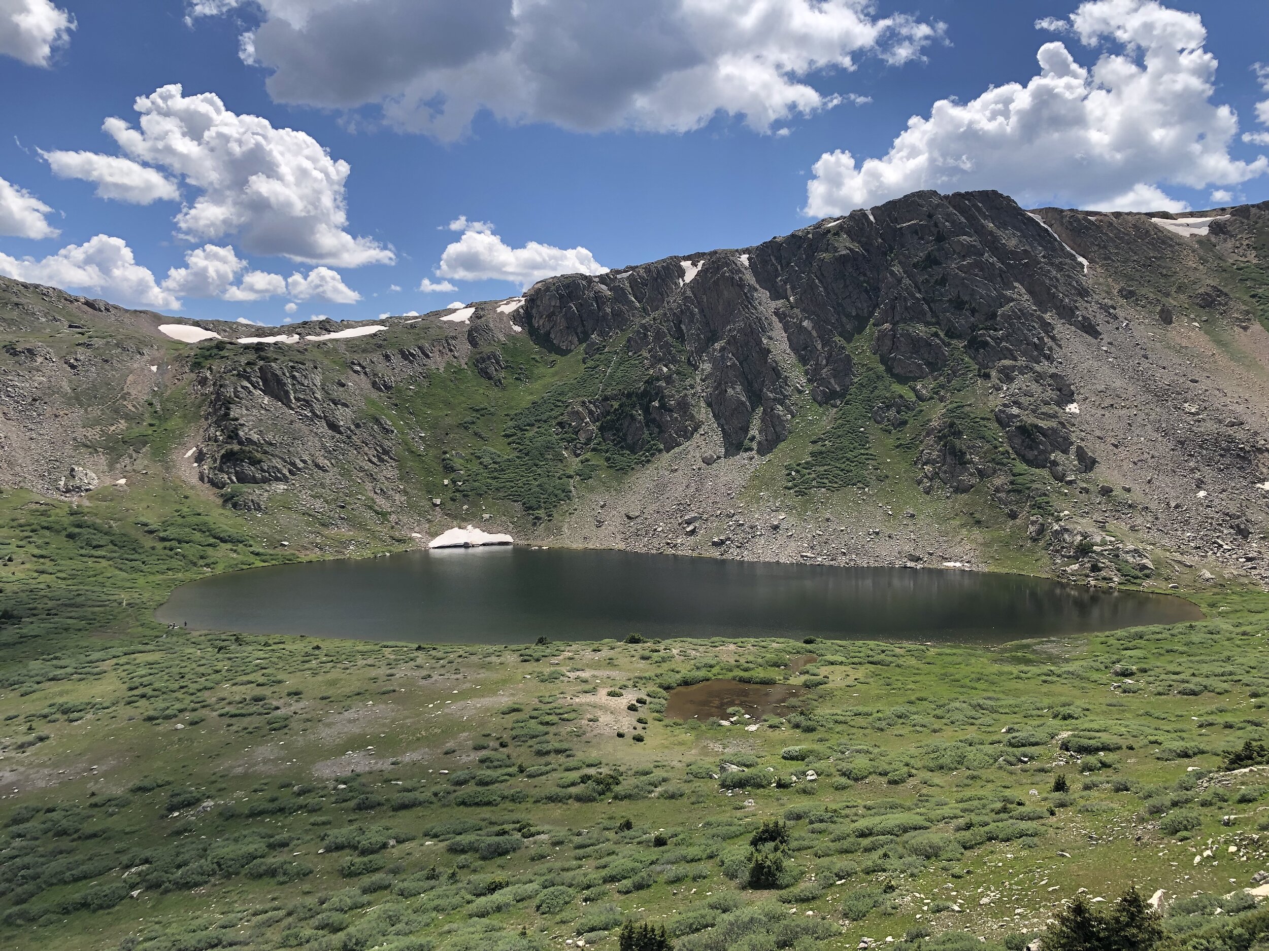
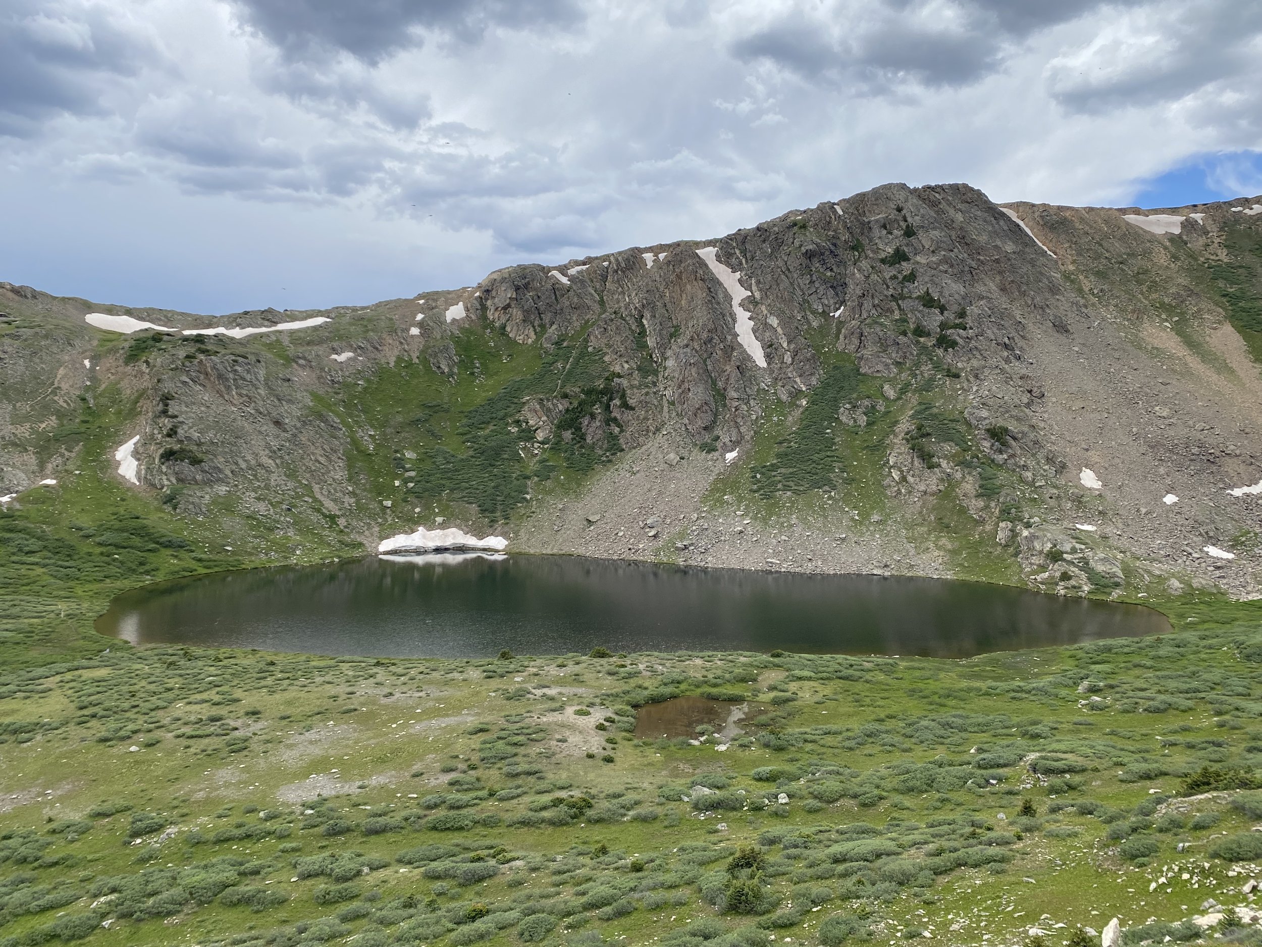
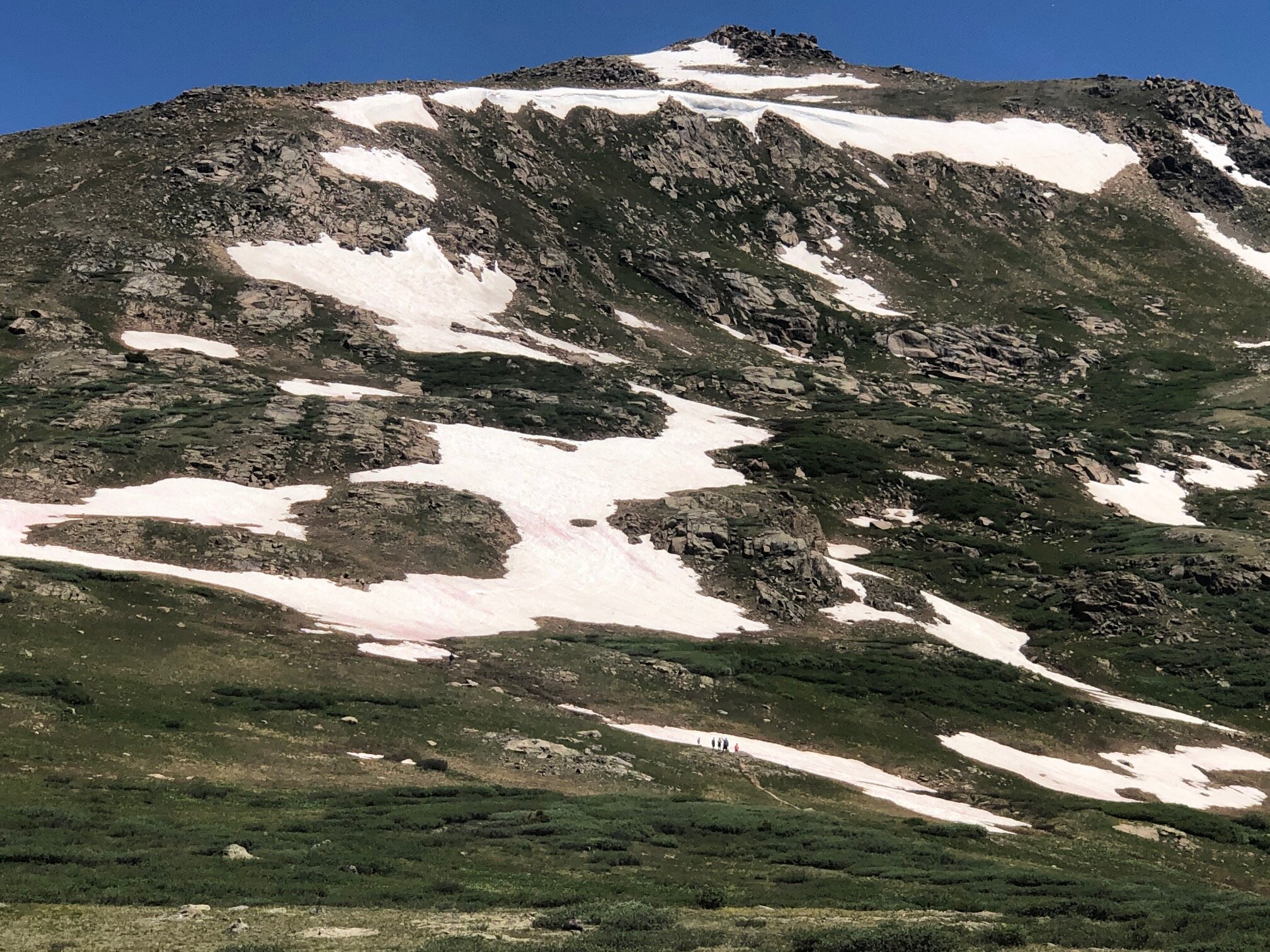
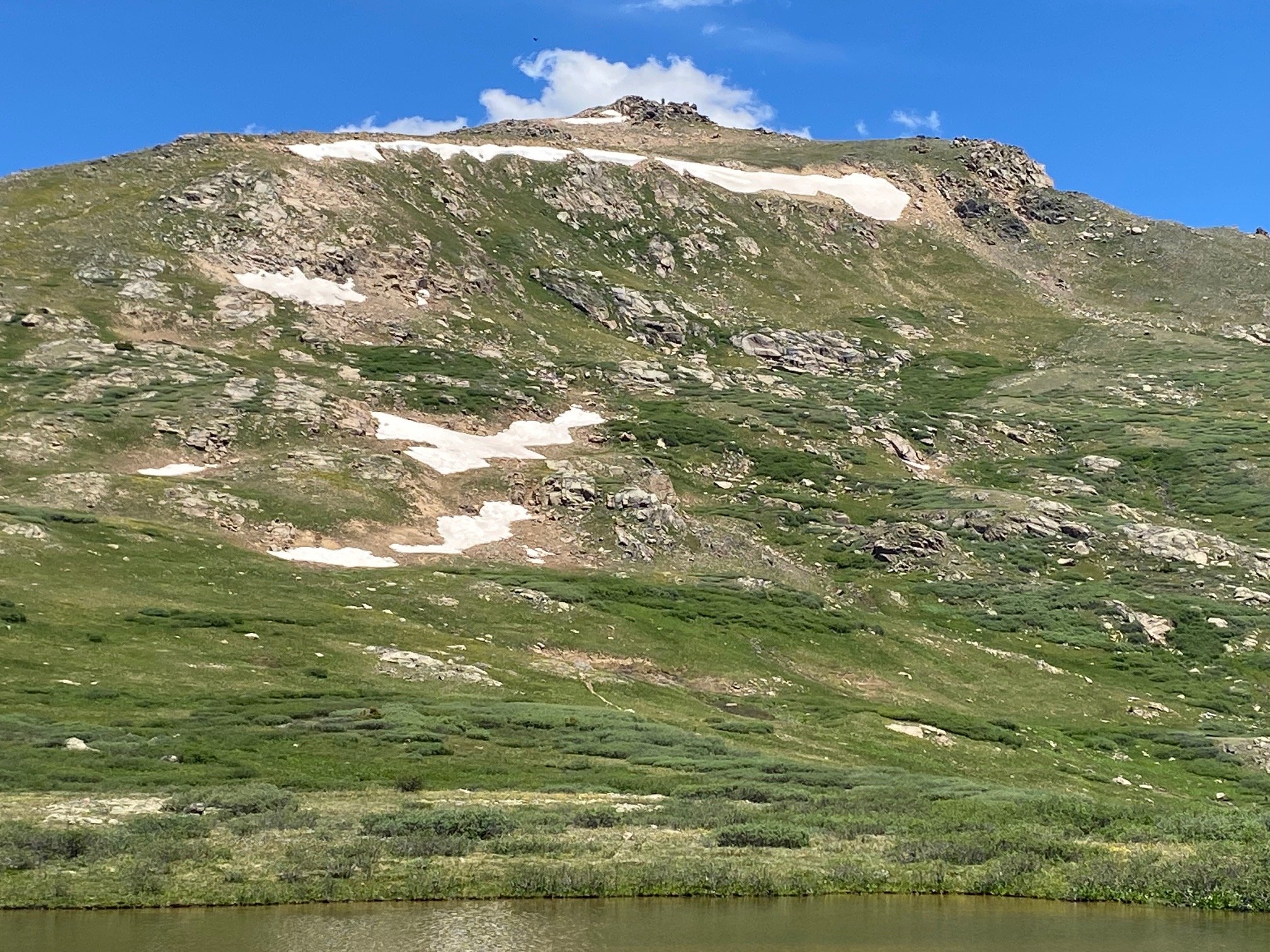
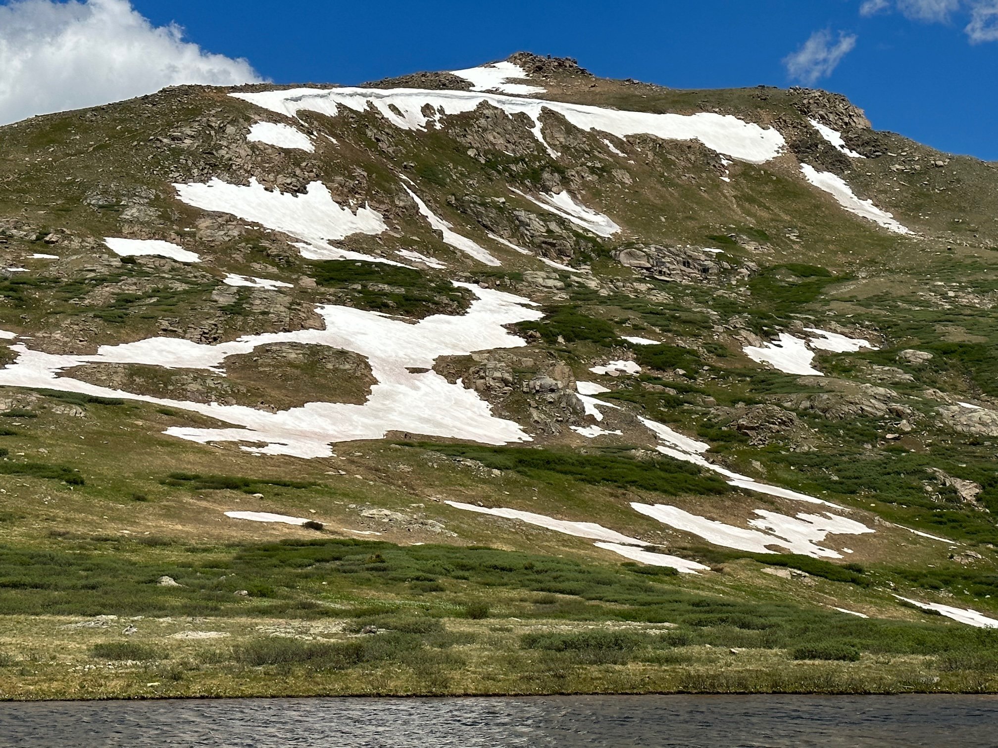
9. Linkins Lake
From rock outcrop above lake.

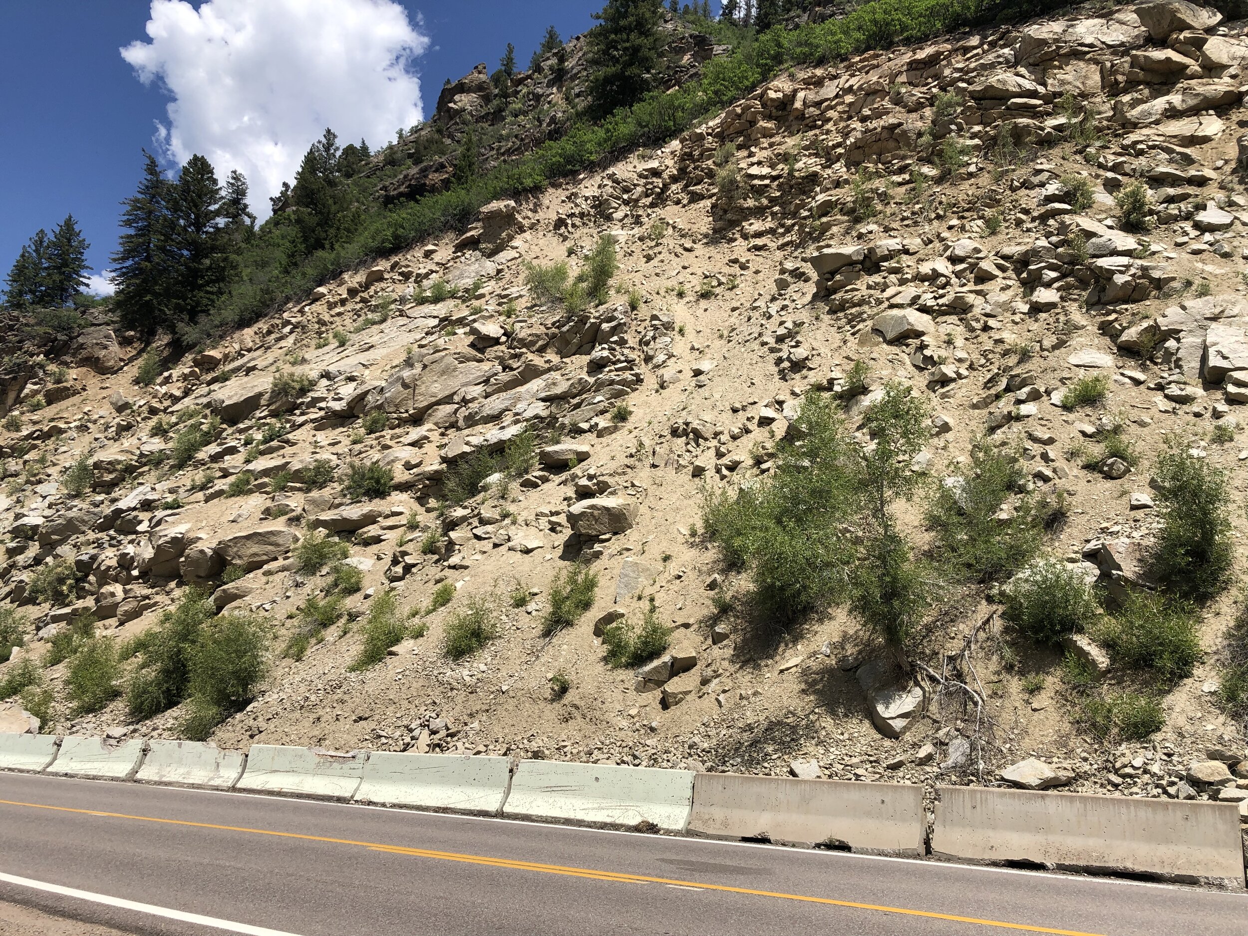
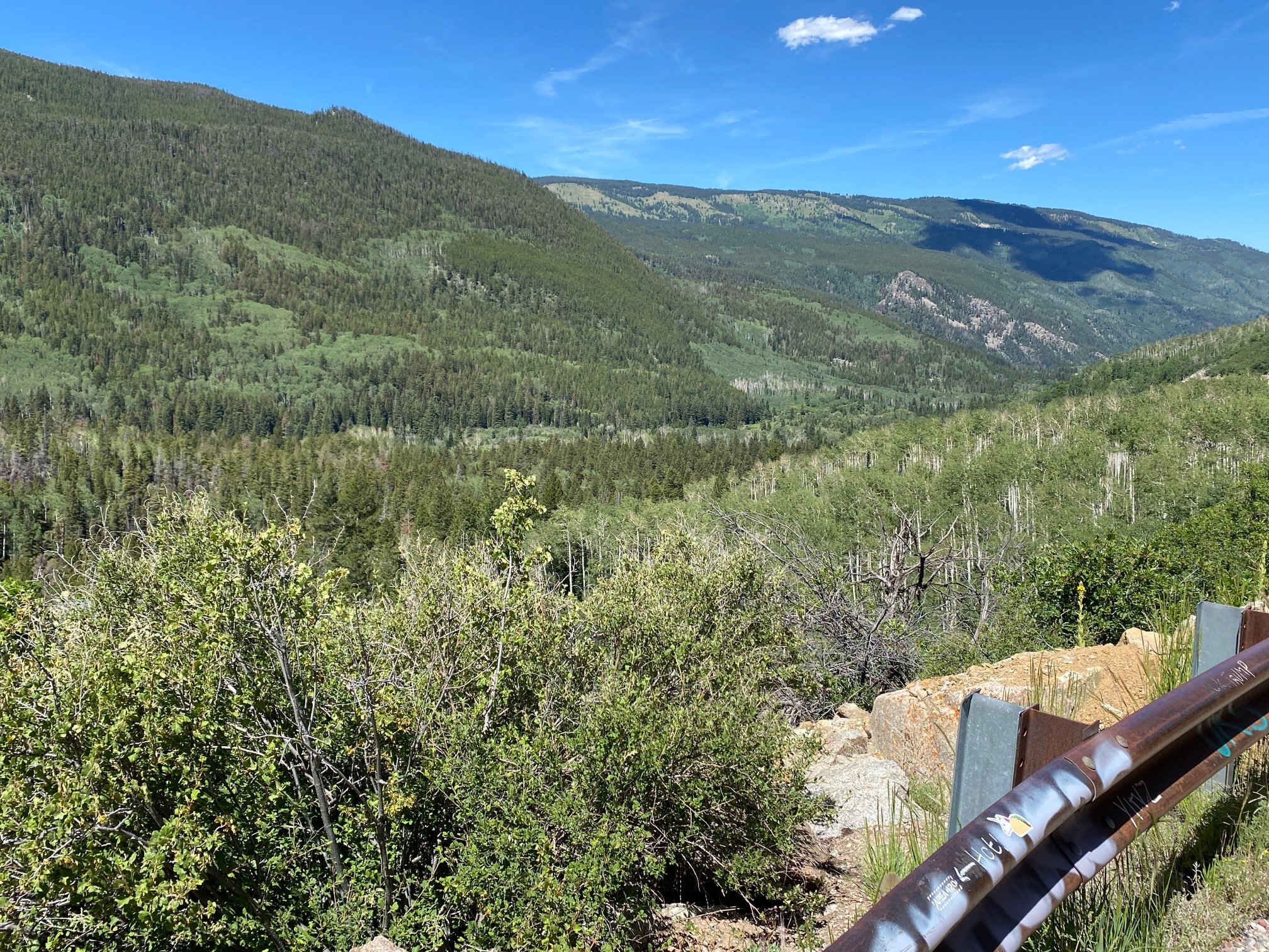
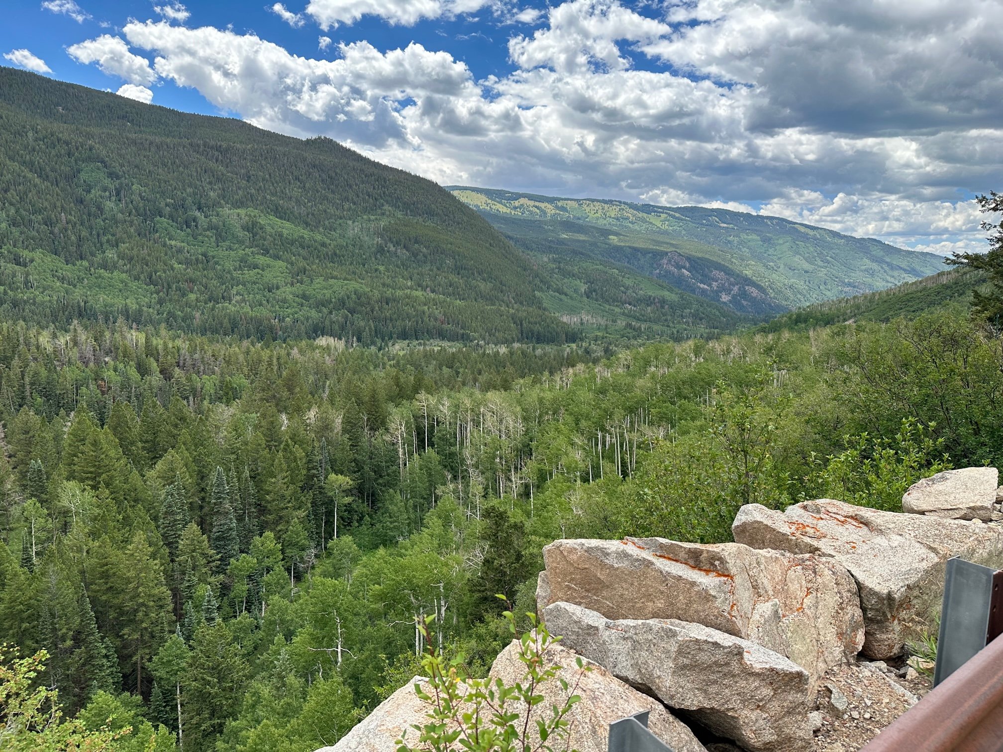
10. Independence Ridge & Roaring Fork River meander & rock wall & metal netting
Two photos, a & b, from big pullout along Top Cut just before MM 60 on right hand side.
11. Summit tarN
Three photos, a & b & c, from edge of road to the west and north, where gravel/dirt slopes down to tarn, and of southeast ridge of Blue/Twining, telephotoed somewhat


12. Summit wildflowers
Two photos, a & b, one looking uphill/east, one west, both from far end of first walkway fence on left.


13. Mountain Boy
From big turnout on right just east of summit and just before the hairpin turn.

14. La Plata & North Fork Lake Creek meander
From big pullout on left hand side, just after #13 stop and immediately before the hairpin.